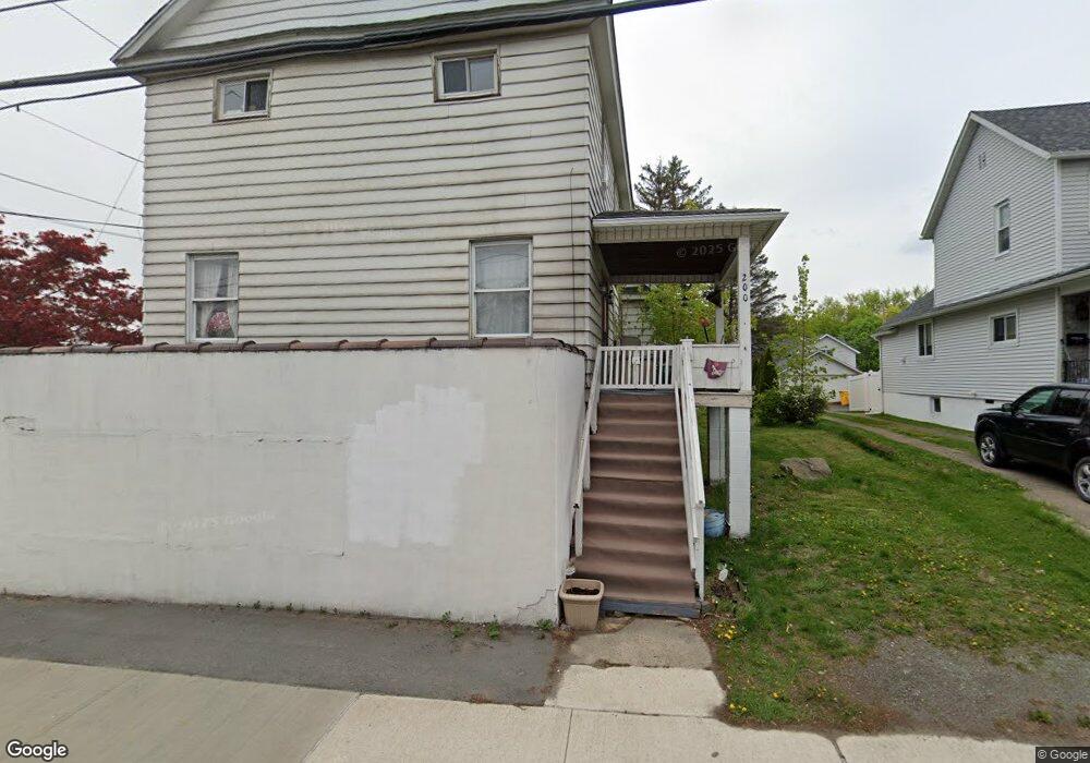
200 S Main St Archbald, PA 18403
Estimated Value: $171,000 - $246,000
4
Beds
1
Bath
1,770
Sq Ft
$121/Sq Ft
Est. Value
About This Home
This home is located at 200 S Main St, Archbald, PA 18403 and is currently estimated at $213,667, approximately $120 per square foot. 200 S Main St is a home located in Lackawanna County with nearby schools including Valley View Intermediate School, Valley View Middle School, and Valley View High School.
Ownership History
Date
Name
Owned For
Owner Type
Purchase Details
Closed on
Jul 24, 2025
Sold by
Munley Joseph T and Munley Renee
Bought by
P36 Scranton Holdings Llc
Current Estimated Value
Home Financials for this Owner
Home Financials are based on the most recent Mortgage that was taken out on this home.
Original Mortgage
$311,200
Outstanding Balance
$310,672
Interest Rate
6.84%
Mortgage Type
New Conventional
Estimated Equity
-$97,005
Purchase Details
Closed on
Sep 27, 2012
Sold by
The Honesdale National Bank
Bought by
Munley Joseph T and Munley Renee
Purchase Details
Closed on
Sep 25, 2012
Sold by
Miller Debra P
Bought by
Miller Daniel P and Miller Douglas P
Purchase Details
Closed on
Jul 16, 2012
Sold by
Rogan Michael
Bought by
The Honesdale National Bank
Create a Home Valuation Report for This Property
The Home Valuation Report is an in-depth analysis detailing your home's value as well as a comparison with similar homes in the area
Home Values in the Area
Average Home Value in this Area
Purchase History
| Date | Buyer | Sale Price | Title Company |
|---|---|---|---|
| P36 Scranton Holdings Llc | $202,000 | Djs Abstract & Settlement Serv | |
| Munley Joseph T | $15,000 | None Available | |
| Miller Daniel P | -- | None Available | |
| The Honesdale National Bank | $883 | None Available |
Source: Public Records
Mortgage History
| Date | Status | Borrower | Loan Amount |
|---|---|---|---|
| Open | P36 Scranton Holdings Llc | $311,200 |
Source: Public Records
Tax History Compared to Growth
Tax History
| Year | Tax Paid | Tax Assessment Tax Assessment Total Assessment is a certain percentage of the fair market value that is determined by local assessors to be the total taxable value of land and additions on the property. | Land | Improvement |
|---|---|---|---|---|
| 2025 | $2,315 | $9,000 | $0 | $9,000 |
| 2024 | $1,986 | $9,000 | $0 | $9,000 |
| 2023 | $1,986 | $9,000 | $0 | $9,000 |
| 2022 | $1,924 | $9,000 | $0 | $9,000 |
| 2021 | $1,920 | $9,000 | $0 | $9,000 |
| 2020 | $1,884 | $9,000 | $0 | $9,000 |
| 2019 | $1,747 | $9,000 | $0 | $9,000 |
| 2018 | $1,716 | $9,000 | $0 | $9,000 |
| 2017 | $1,707 | $9,000 | $0 | $9,000 |
| 2016 | $1,001 | $9,000 | $0 | $0 |
| 2015 | -- | $9,000 | $0 | $0 |
| 2014 | -- | $9,000 | $0 | $0 |
Source: Public Records
Map
Nearby Homes
- 287 Main St Unit REAR STURGES
- 462 Delaware St
- 0 Joel (Lot 30) Dr
- 818 Henry St
- 1104 E Filbert St
- 1108 Filbert St
- 1119 E State St
- 0 Ledgewood Dr
- 197 Columbus Dr
- 116 S Main St
- 0 Skyline Dr
- 0 Joel (Lot 4) Dr
- 1317 Crestwood Dr
- 0 Joel (Lot 49) Dr Unit GSBSC3076
- 0 Forest Ln
- 217 219 Laurel St
- 446 Kennedy Dr
- 00 Hickory St
- 112 Pine St
- 0 Jamie (Lot 14) Dr Unit GSBSC3058