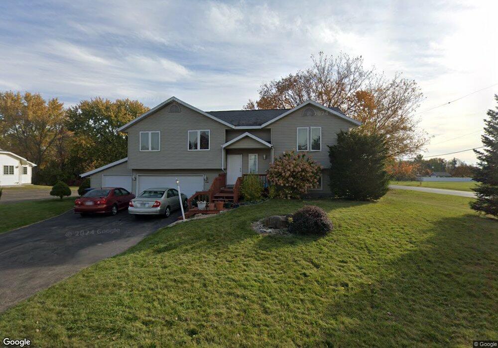
200 S Mayflower Dr Appleton, WI 54914
Estimated Value: $301,000 - $365,451
4
Beds
3
Baths
1,900
Sq Ft
$176/Sq Ft
Est. Value
About This Home
This home is located at 200 S Mayflower Dr, Appleton, WI 54914 and is currently estimated at $335,113, approximately $176 per square foot. 200 S Mayflower Dr is a home located in Outagamie County with nearby schools including Badger Elementary School, Wilson Middle School, and Appleton West High School.
Ownership History
Date
Name
Owned For
Owner Type
Purchase Details
Closed on
Aug 19, 2022
Sold by
Zoua Yang
Bought by
Lee Kevin and Lee Xia L
Current Estimated Value
Home Financials for this Owner
Home Financials are based on the most recent Mortgage that was taken out on this home.
Original Mortgage
$213,400
Outstanding Balance
$204,021
Interest Rate
5.51%
Mortgage Type
New Conventional
Estimated Equity
$131,092
Purchase Details
Closed on
Aug 19, 2009
Sold by
Gabera Paula Paula 2
Bought by
Yang Zoua
Create a Home Valuation Report for This Property
The Home Valuation Report is an in-depth analysis detailing your home's value as well as a comparison with similar homes in the area
Home Values in the Area
Average Home Value in this Area
Purchase History
| Date | Buyer | Sale Price | Title Company |
|---|---|---|---|
| Lee Kevin | $220,000 | Stewart Title | |
| Yang Zoua | -- | Stewart Title | |
| Yang Zoua | $210,000 | -- |
Source: Public Records
Mortgage History
| Date | Status | Borrower | Loan Amount |
|---|---|---|---|
| Open | Lee Kevin | $213,400 |
Source: Public Records
Tax History
| Year | Tax Paid | Tax Assessment Tax Assessment Total Assessment is a certain percentage of the fair market value that is determined by local assessors to be the total taxable value of land and additions on the property. | Land | Improvement |
|---|---|---|---|---|
| 2023 | $4,250 | $242,300 | $37,500 | $204,800 |
| 2022 | $4,178 | $242,300 | $37,500 | $204,800 |
| 2021 | $4,107 | $242,300 | $37,500 | $204,800 |
| 2020 | $4,207 | $242,300 | $37,500 | $204,800 |
| 2019 | $4,039 | $213,400 | $31,200 | $182,200 |
| 2018 | $4,240 | $213,400 | $31,200 | $182,200 |
| 2017 | $4,192 | $213,400 | $31,200 | $182,200 |
| 2016 | $4,060 | $213,400 | $31,200 | $182,200 |
| 2015 | $4,112 | $213,400 | $31,200 | $182,200 |
| 2014 | $3,581 | $186,700 | $31,200 | $155,500 |
| 2013 | $3,623 | $186,700 | $31,200 | $155,500 |
Source: Public Records
Map
Nearby Homes
- W6127 Colonial Dr
- 5358 Pennsylvania Ave
- 705 S Goldenrod Dr
- 0 Packard Unit 50318784
- 0 Integrity Way
- 1933 Anita Ct
- 1935 Anita Ct
- 1235 W Nicolet Cir
- 10 W Golf Terrace Ct
- 3667 W Quaker Ridge Ln
- 9651 Clayton Ave
- 2191 Bramblewood Ct
- 2189 E Prairie Creek Dr
- 1906 Wasilla Ln
- 3182 Justin Ct Unit 5
- 2661 Northern Rd Unit E
- 2661 Northern Rd Unit I
- N1322 Greenwood Rd
- W6588 Talon Dr
- 610 Stonehedge Ln Unit 3-A
- 5820 Long Ct
- 180 S Mayflower Dr
- 160 S Mayflower Dr
- 5825 Long Ct
- W6108 Long Ct
- 5806 Long Ct
- W6105 Long Ct
- 140 S Mayflower Dr
- 380 S Mayflower Dr
- W6118 Long Ct
- N523 Mayflower Dr
- 5743 Long Ct
- W6117 Long Ct
- W6117 Aerotech Dr
- W6124 Long Ct
- 5735 Long Ct
- 5386 Pennsylvania Ave
- N517 Mayflower Dr
- W6127 Aerotech Dr
- w 6125 Aerotech Dr
Your Personal Tour Guide
Ask me questions while you tour the home.