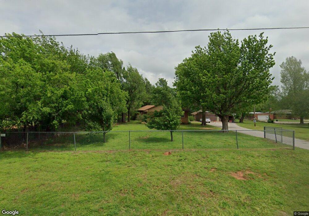
200 S Monocoupe Ln Mustang, OK 73064
Estimated Value: $216,000 - $267,000
3
Beds
2
Baths
1,596
Sq Ft
$152/Sq Ft
Est. Value
About This Home
This home is located at 200 S Monocoupe Ln, Mustang, OK 73064 and is currently estimated at $243,343, approximately $152 per square foot. 200 S Monocoupe Ln is a home located in Canadian County with nearby schools including Mustang Elementary School, Mustang Horizon Intermediate School, and Mustang Middle School.
Ownership History
Date
Name
Owned For
Owner Type
Purchase Details
Closed on
Sep 24, 2014
Sold by
Cantrall David L and Federal National Mortgage Asso
Bought by
Hacker Jody and Hacker Mary
Current Estimated Value
Purchase Details
Closed on
Jan 23, 2004
Sold by
Shannon Amelda
Home Financials for this Owner
Home Financials are based on the most recent Mortgage that was taken out on this home.
Original Mortgage
$68,800
Interest Rate
5.9%
Create a Home Valuation Report for This Property
The Home Valuation Report is an in-depth analysis detailing your home's value as well as a comparison with similar homes in the area
Home Values in the Area
Average Home Value in this Area
Purchase History
| Date | Buyer | Sale Price | Title Company |
|---|---|---|---|
| Hacker Jody | $115,000 | None Available | |
| -- | $86,000 | -- |
Source: Public Records
Mortgage History
| Date | Status | Borrower | Loan Amount |
|---|---|---|---|
| Previous Owner | -- | $68,800 |
Source: Public Records
Tax History Compared to Growth
Tax History
| Year | Tax Paid | Tax Assessment Tax Assessment Total Assessment is a certain percentage of the fair market value that is determined by local assessors to be the total taxable value of land and additions on the property. | Land | Improvement |
|---|---|---|---|---|
| 2024 | $1,506 | $15,849 | $3,911 | $11,938 |
| 2023 | $1,506 | $15,095 | $3,759 | $11,336 |
| 2022 | $1,351 | $14,376 | $3,491 | $10,885 |
| 2021 | $1,314 | $13,957 | $3,180 | $10,777 |
| 2020 | $1,280 | $13,551 | $2,890 | $10,661 |
| 2019 | $1,240 | $13,157 | $2,608 | $10,549 |
| 2018 | $1,227 | $12,773 | $2,334 | $10,439 |
| 2017 | $1,175 | $12,401 | $2,029 | $10,372 |
| 2016 | $1,140 | $12,401 | $2,046 | $10,355 |
| 2015 | $952 | $11,689 | $1,428 | $10,261 |
| 2014 | $952 | $9,169 | $1,428 | $7,741 |
Source: Public Records
Map
Nearby Homes
- 201 S Monocoupe Ln
- 321 N Carol Terrace
- 307 S Morgan Rd
- 531 S Monocoupe Ln
- 1712 E Cottonwood Terrace
- 1740 E Lake Park Ln
- 1713 E Frontier Terrace
- 1738 E Frontier Terrace
- 1228 E Ruger Ln
- 1221 E Ruger Ln
- 1225 E Ruger Ln
- 1229 E Ruger Ln
- 1232 E Ruger Ln
- 1209 E Stetson Ln
- 1237 E Ruger Ln
- 1213 E Stetson Ln
- 1205 E Stetson Ln
- 925 S Buffalo Ln
- ELGIN Plan at Wild Horse Canyon
- BELLEVUE Plan at Wild Horse Canyon
- 1352 E State Highway 152
- 230 S Monocoupe Ln
- 1500 E State Highway 152
- 0 Highway 152
- 318 S Monocoupe Ln
- 245 E Georgia Terrace
- 249 E Georgia Terrace
- 336 S Monocoupe Ln
- 122 N Monocoupe Terrace
- 122 N Carol Terrace
- 208 N Monocoupe Terrace
- 208 N Monocoupe Terrace
- 207 N Monocoupe Terrace
- 402 S Monocoupe Ln
- 305 S Spring Ln
- 216 N Monocoupe Terrace
- 1457 E Lake Park Ln
- 1515 E Longview Ln
- 1449 E Lake Park Ln
- 208 N Carol Terrace