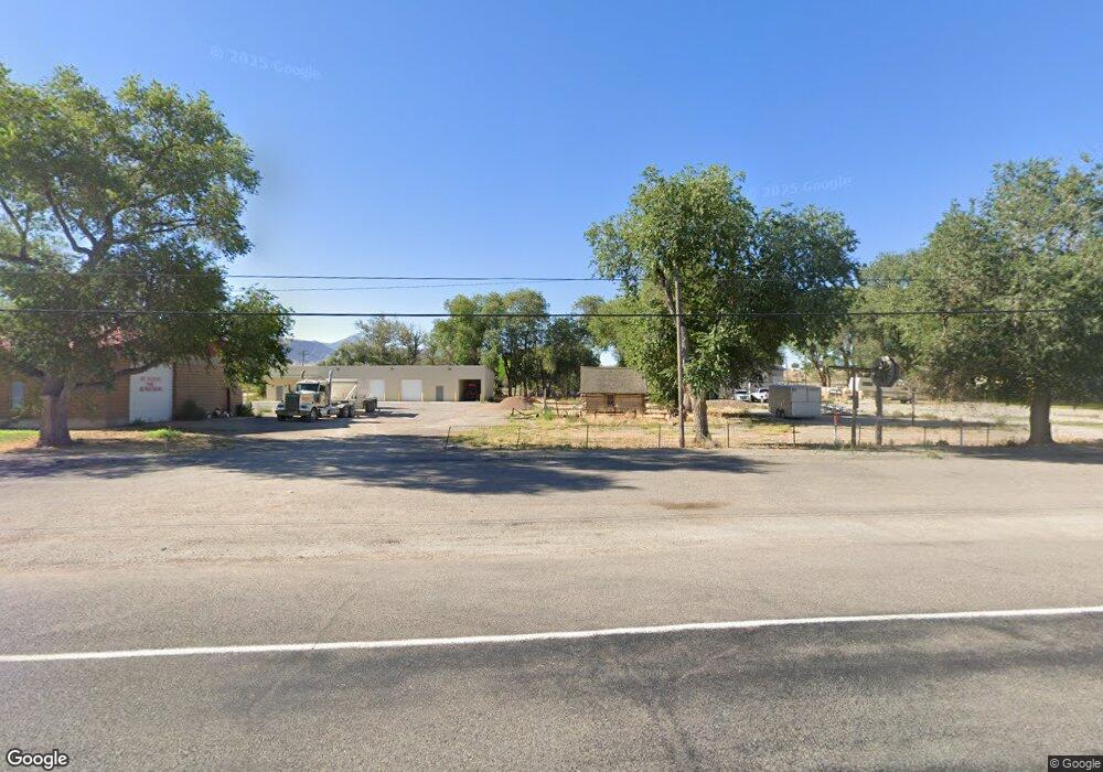
200 S S Hwy E Leamington, UT 84638
Estimated Value: $213,000 - $278,000
--
Bed
--
Bath
--
Sq Ft
0.34
Acres
About This Home
This home is located at 200 S S Hwy E, Leamington, UT 84638 and is currently estimated at $245,500. 200 S S Hwy E is a home with nearby schools including Cba Center and White River Academy.
Ownership History
Date
Name
Owned For
Owner Type
Purchase Details
Closed on
Aug 5, 2021
Sold by
Crafts Tim
Bought by
Crafts Rustin W and Crafts Roberta Jo
Current Estimated Value
Home Financials for this Owner
Home Financials are based on the most recent Mortgage that was taken out on this home.
Original Mortgage
$60,000
Outstanding Balance
$54,407
Interest Rate
3%
Mortgage Type
New Conventional
Estimated Equity
$191,093
Purchase Details
Closed on
Jan 15, 2021
Sold by
Thompson Brad and Thompson Sarah
Bought by
Crafts Timothy Dean and Crafts Trust
Purchase Details
Closed on
Dec 1, 2017
Sold by
Crafts Timothy Dena
Bought by
Thompson Brad and Thompson Sarah
Create a Home Valuation Report for This Property
The Home Valuation Report is an in-depth analysis detailing your home's value as well as a comparison with similar homes in the area
Home Values in the Area
Average Home Value in this Area
Purchase History
| Date | Buyer | Sale Price | Title Company |
|---|---|---|---|
| Crafts Rustin W | -- | First American Title Insuran | |
| Crafts Tim | -- | First American Title Insuran | |
| Crafts Timothy Dean | -- | None Available | |
| Thompson Brad | -- | -- |
Source: Public Records
Mortgage History
| Date | Status | Borrower | Loan Amount |
|---|---|---|---|
| Open | Crafts Rustin W | $60,000 |
Source: Public Records
Tax History Compared to Growth
Tax History
| Year | Tax Paid | Tax Assessment Tax Assessment Total Assessment is a certain percentage of the fair market value that is determined by local assessors to be the total taxable value of land and additions on the property. | Land | Improvement |
|---|---|---|---|---|
| 2025 | $873 | $93,192 | $18,052 | $75,140 |
| 2024 | $873 | $79,197 | $13,006 | $66,191 |
| 2023 | $1,017 | $79,197 | $13,006 | $66,191 |
| 2022 | $841 | $63,196 | $13,738 | $49,458 |
| 2021 | $692 | $49,625 | $10,282 | $39,343 |
| 2020 | $643 | $45,821 | $9,347 | $36,474 |
| 2019 | $570 | $40,632 | $8,655 | $31,977 |
| 2018 | $529 | $37,991 | $8,655 | $29,336 |
| 2017 | $451 | $31,231 | $8,403 | $22,828 |
| 2016 | $436 | $31,231 | $8,403 | $22,828 |
| 2015 | $436 | $31,231 | $8,403 | $22,828 |
| 2014 | -- | $31,212 | $8,403 | $22,809 |
| 2013 | -- | $31,212 | $8,403 | $22,809 |
Source: Public Records
Map
Nearby Homes
- 44 E 300 S
- 0 E Highway 6 Unit LotWP001 16586023
- 321 E 200 S
- 38 E 300 S
- 32 E 300 S
- 328 S Center St
- 163 W 100 S
- 445 Topaz Blvd Unit 10
- 461 Topaz Blvd Unit 6
- 665 Bristlecone Ln
- 625 E Birch Dr
- 7900 E 250 Rd N
- 185 N 200 W
- 325 N 100 W
- 263 Silver Maple Dr
- 294 S 300 W
- 786 Bristlecone Ln
- Locust Ave Unit LotWP001
- 629 E Millard St
- 628 Sunset St