200 Shorty Dr Dahlonega, GA 30533
Estimated Value: $319,000 - $449,000
3
Beds
3
Baths
1,599
Sq Ft
$244/Sq Ft
Est. Value
About This Home
This home is located at 200 Shorty Dr, Dahlonega, GA 30533 and is currently estimated at $389,782, approximately $243 per square foot. 200 Shorty Dr is a home located in Lumpkin County with nearby schools including Lumpkin County High School.
Ownership History
Date
Name
Owned For
Owner Type
Purchase Details
Closed on
Aug 9, 2016
Sold by
Jonathan Trent
Bought by
Bryson Mark and Bryson Charlina
Current Estimated Value
Purchase Details
Closed on
Aug 29, 2005
Sold by
Cain Michelle D
Bought by
Cain Jonathan Trent
Purchase Details
Closed on
Jun 16, 1997
Sold by
Cain Michelle D
Bought by
Cain Jonathan Trent
Purchase Details
Closed on
Nov 1, 1995
Bought by
Cain Michelle D
Purchase Details
Closed on
Oct 17, 1995
Bought by
Cain Michelle D and Cain Trent
Create a Home Valuation Report for This Property
The Home Valuation Report is an in-depth analysis detailing your home's value as well as a comparison with similar homes in the area
Home Values in the Area
Average Home Value in this Area
Purchase History
| Date | Buyer | Sale Price | Title Company |
|---|---|---|---|
| Bryson Mark | $210,000 | -- | |
| Cain Jonathan Trent | -- | -- | |
| Cain Jonathan Trent | -- | -- | |
| Cain Jonathan Trent | -- | -- | |
| Cain Michelle D | -- | -- | |
| Cain Michelle D | -- | -- |
Source: Public Records
Tax History Compared to Growth
Tax History
| Year | Tax Paid | Tax Assessment Tax Assessment Total Assessment is a certain percentage of the fair market value that is determined by local assessors to be the total taxable value of land and additions on the property. | Land | Improvement |
|---|---|---|---|---|
| 2024 | $2,574 | $112,858 | $13,910 | $98,948 |
| 2023 | $2,051 | $106,745 | $13,910 | $92,835 |
| 2022 | $2,347 | $94,814 | $11,592 | $83,222 |
| 2021 | $2,111 | $82,474 | $11,592 | $70,882 |
| 2020 | $2,117 | $80,246 | $11,108 | $69,138 |
| 2019 | $2,136 | $80,246 | $11,108 | $69,138 |
| 2018 | $2,050 | $72,255 | $11,108 | $61,147 |
| 2017 | $2,033 | $70,266 | $11,108 | $59,158 |
| 2016 | -- | $59,394 | $11,108 | $48,286 |
| 2015 | $6 | $59,394 | $11,108 | $48,286 |
| 2014 | $6 | $60,140 | $11,108 | $49,032 |
| 2013 | -- | $61,489 | $11,108 | $50,381 |
Source: Public Records
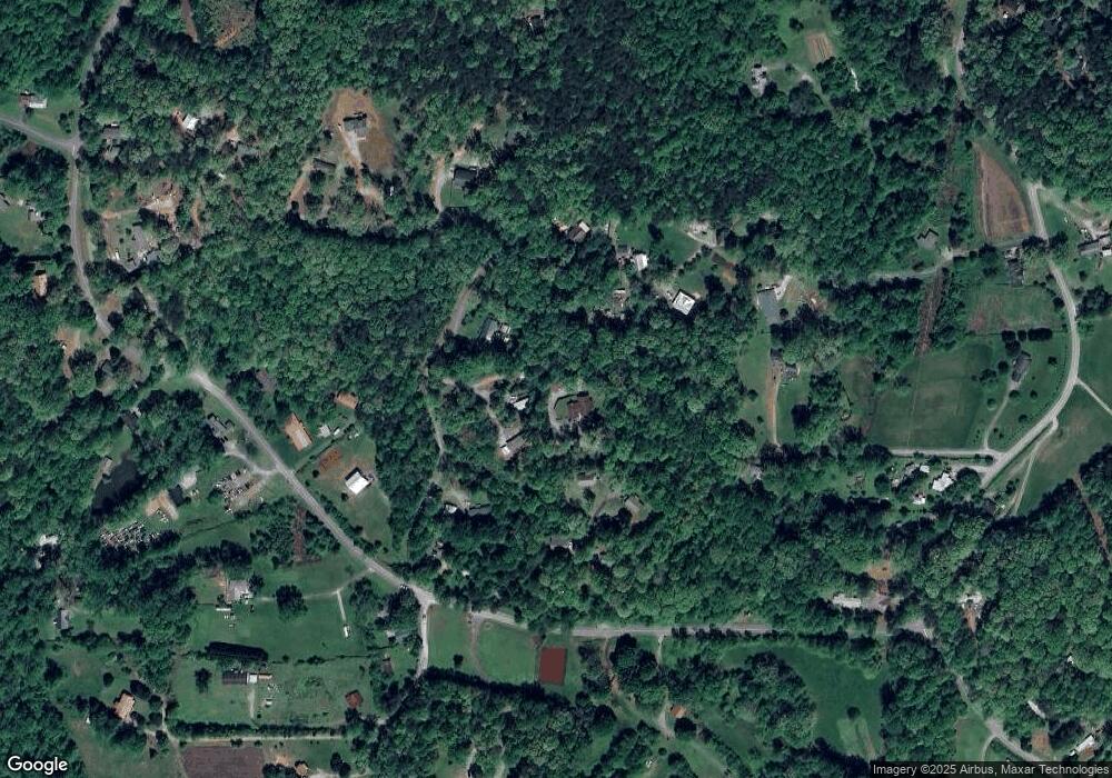
Map
Nearby Homes
- 0 Woodland Ln Unit 10570991
- 7B Strada Valdichiana
- 931 Homer Edwards Rd
- 120 Sanders Blvd
- 100 Sanders Blvd
- 64 Hickory Ln
- 1202 Oak Grove Rd
- 132 J Mountain Dr
- 549 Ivy Terrace
- 121 Blair Ridge Rd
- 120 Blair Ridge Rd
- 70 Avery Trail
- 253 Blair Ridge Rd
- 5.31 Tom Bell Odom Rd
- 20 Angels Way
- 81 Anderson Dr
- 543 Rider Mill Rd
- 114 Funaro Ln
- 200 Shorty Dr
- 79 Luke Tanners Ridge
- 246 Clay Creek Overlook
- 82 Luke Tanners Ridge
- 69 Luke Tanners Ridge
- 70 Clay Creek Trail
- 68 Luke Tanners Ridge
- 68 Luke Tanners Ridge
- 221 Clay Creek Overlook
- 236 Clay Creek Overlook
- 69 Luke and Tanners Ridge
- 184 Andys Cir
- 262 Homer Edwards Rd
- 120 Homer Edwards Rd
- 122 Homer Edwards Rd
- 120 Shorty Dr
- 143 Clay Creek Ovlk
- 35 Andys Cir
- 20 Clay Creek Trail
- 143 Clay Creek Overlook