200 Snow Bird Trail Mineral Bluff, GA 30559
Estimated Value: $442,000 - $573,000
--
Bed
3
Baths
1,868
Sq Ft
$271/Sq Ft
Est. Value
About This Home
This home is located at 200 Snow Bird Trail, Mineral Bluff, GA 30559 and is currently estimated at $506,738, approximately $271 per square foot. 200 Snow Bird Trail is a home located in Fannin County with nearby schools including Fannin County High School.
Ownership History
Date
Name
Owned For
Owner Type
Purchase Details
Closed on
Feb 6, 2019
Sold by
Allen Perry
Bought by
Abdi Zia Ahmad
Current Estimated Value
Purchase Details
Closed on
Dec 28, 2011
Sold by
Williams Lawrence A and Williams Julie A
Bought by
Allen Perry and Allen Dawn Ennis
Home Financials for this Owner
Home Financials are based on the most recent Mortgage that was taken out on this home.
Original Mortgage
$62,500
Interest Rate
4.06%
Mortgage Type
New Conventional
Purchase Details
Closed on
Apr 26, 2006
Sold by
Williams Lawrence A
Bought by
Williams Trust
Purchase Details
Closed on
Oct 8, 2004
Sold by
Thackston Charlie Wayne
Bought by
Williams Laurence A and Williams Julie A
Purchase Details
Closed on
Mar 29, 2002
Sold by
Bramlette Peggy
Bought by
Thackston Charlie Wayne
Purchase Details
Closed on
Jul 12, 2000
Sold by
Jones Patricia C
Bought by
Bramlette Peggy
Create a Home Valuation Report for This Property
The Home Valuation Report is an in-depth analysis detailing your home's value as well as a comparison with similar homes in the area
Home Values in the Area
Average Home Value in this Area
Purchase History
| Date | Buyer | Sale Price | Title Company |
|---|---|---|---|
| Abdi Zia Ahmad | $240,000 | -- | |
| Allen Perry | $162,500 | -- | |
| Williams Trust | -- | -- | |
| Williams Laurence A | $180,000 | -- | |
| Thackston Charlie Wayne | $123,000 | -- | |
| Bramlette Peggy | $12,000 | -- |
Source: Public Records
Mortgage History
| Date | Status | Borrower | Loan Amount |
|---|---|---|---|
| Previous Owner | Allen Perry | $62,500 |
Source: Public Records
Tax History Compared to Growth
Tax History
| Year | Tax Paid | Tax Assessment Tax Assessment Total Assessment is a certain percentage of the fair market value that is determined by local assessors to be the total taxable value of land and additions on the property. | Land | Improvement |
|---|---|---|---|---|
| 2024 | $1,228 | $133,945 | $5,429 | $128,516 |
| 2023 | $1,114 | $109,307 | $5,429 | $103,878 |
| 2022 | $1,127 | $110,597 | $5,429 | $105,168 |
| 2021 | $790 | $56,321 | $5,429 | $50,892 |
| 2020 | $803 | $56,321 | $5,429 | $50,892 |
| 2019 | $733 | $50,439 | $5,429 | $45,010 |
| 2018 | $777 | $50,439 | $5,429 | $45,010 |
| 2017 | $901 | $50,945 | $5,429 | $45,516 |
| 2016 | $779 | $45,874 | $5,429 | $40,445 |
| 2015 | $822 | $46,333 | $5,429 | $40,904 |
| 2014 | $936 | $52,913 | $5,429 | $47,484 |
| 2013 | -- | $41,108 | $5,428 | $35,680 |
Source: Public Records
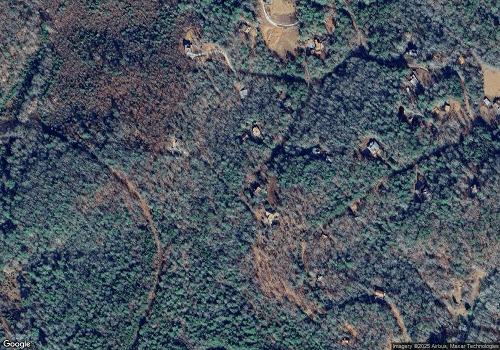
Map
Nearby Homes
- 200 Snowbird Trail
- 162 Snow Bird Trail
- 162 Snowbird Trail
- LT 19 Snowbird Trail
- 104 Oak Loop
- 0 Snowbird Trail Unit 149580
- 104 Oak Ridge Trail
- 103 Oak Ridge Trail
- 328 Snowbird Trail
- 131 Whisperwood Trail
- 362 Oakwood Trail
- 240 Oakwood Trail
- 0 Whisperwood Trail Unit 312421
- 0 Whisperwood Trail Unit 7445630
- 0 Whisperwood Trail
- 242 Whisperwood Trail
- #18 Whisperwood Trail
- #18 Whisperwood Trail
- 72 Whisperwood Trail
- 0 Twin Springs Rd Unit 8318206