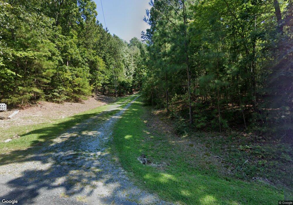
200 Soloman Degraffenreidt Rd Pittsboro, NC 27312
Estimated Value: $551,000 - $748,000
4
Beds
2
Baths
2,721
Sq Ft
$246/Sq Ft
Est. Value
About This Home
This home is located at 200 Soloman Degraffenreidt Rd, Pittsboro, NC 27312 and is currently estimated at $669,839, approximately $246 per square foot. 200 Soloman Degraffenreidt Rd is a home located in Chatham County with nearby schools including Pittsboro Elementary School, George Moses Horton Middle School, and Northwood High.
Ownership History
Date
Name
Owned For
Owner Type
Purchase Details
Closed on
May 18, 2017
Sold by
Brooks Lenon M and Brooks Alean H
Bought by
Brooks Lenon M and Brooks Alean H
Current Estimated Value
Purchase Details
Closed on
Dec 31, 1996
Bought by
Brooks Lenon M and Brooks Alean H
Create a Home Valuation Report for This Property
The Home Valuation Report is an in-depth analysis detailing your home's value as well as a comparison with similar homes in the area
Home Values in the Area
Average Home Value in this Area
Purchase History
| Date | Buyer | Sale Price | Title Company |
|---|---|---|---|
| Brooks Lenon M | -- | None Available | |
| Brooks Lenon M | -- | -- |
Source: Public Records
Tax History Compared to Growth
Tax History
| Year | Tax Paid | Tax Assessment Tax Assessment Total Assessment is a certain percentage of the fair market value that is determined by local assessors to be the total taxable value of land and additions on the property. | Land | Improvement |
|---|---|---|---|---|
| 2024 | $1,850 | $363,063 | $144,502 | $218,561 |
| 2023 | $1,643 | $363,063 | $144,502 | $218,561 |
| 2022 | $1,532 | $363,063 | $144,502 | $218,561 |
| 2021 | $1,534 | $363,063 | $144,502 | $218,561 |
| 2020 | $1,921 | $298,446 | $156,727 | $141,719 |
| 2019 | $2,490 | $298,446 | $156,727 | $141,719 |
| 2018 | $2,442 | $298,446 | $156,727 | $141,719 |
| 2017 | $2,450 | $298,446 | $156,727 | $141,719 |
| 2016 | $1,952 | $229,534 | $125,382 | $104,152 |
| 2015 | $1,935 | $229,534 | $125,382 | $104,152 |
| 2014 | $1,930 | $229,534 | $125,382 | $104,152 |
| 2013 | -- | $229,534 | $125,382 | $104,152 |
Source: Public Records
Map
Nearby Homes
- 0 Robert Alston Jr Dr Unit 2491587
- 353 Robert Alston Junior Dr
- TBD Alston Horton Service Rd
- 40 Ross Dr
- 226 John Williams Ln
- 122 Preston Trace
- 127 Preston Trace
- Tbd Jahue Ln
- 259 August Trce Dr
- 1701 Mitchells Chapel Rd
- 236 Gaines Trail
- 63 Loggers
- ELMSDALE Plan at Corbett Landing
- MARABELLE Plan at Corbett Landing
- PARKETTE Plan at Corbett Landing
- KAITLYN Plan at Corbett Landing
- DRESDEN Plan at Corbett Landing
- THEODORE Plan at Corbett Landing
- CHAMPLAIN Plan at Corbett Landing
- BALLENTINE Plan at Corbett Landing
- 90 Soloman Degraffenreidt Rd
- 225 Soloman Degraffenreidt Rd
- 229 Soloman Degraffenreidt Rd
- 353 Soloman Degraffenreidt Rd
- 000 Soloman Degraffenreidt Rd
- 000 Soloman Degraffenreidt Rd Unit 6051
- 368 Soloman Degraffenreidt Rd
- 21 Soloman Degraffenreidt Rd
- 397 Soloman Degraffenreidt Rd
- 65 Burcybil Rd
- 433 Soloman Degraffenreidt Rd
- 430 Soloman Degraffenreidt Rd
- 2241 Nc Highway 87 N
- 423 Soloman Degraffenreidt Rd
- 180 Robert Alston Jr Dr
- 146 Robert Alston Jr Dr
- 146 Robert Alston Jr Dr
- 2203C Nc Highway 87 N
- 431 Soloman Degraffenreidt Rd
- 2291 Nc Highway 87 N
