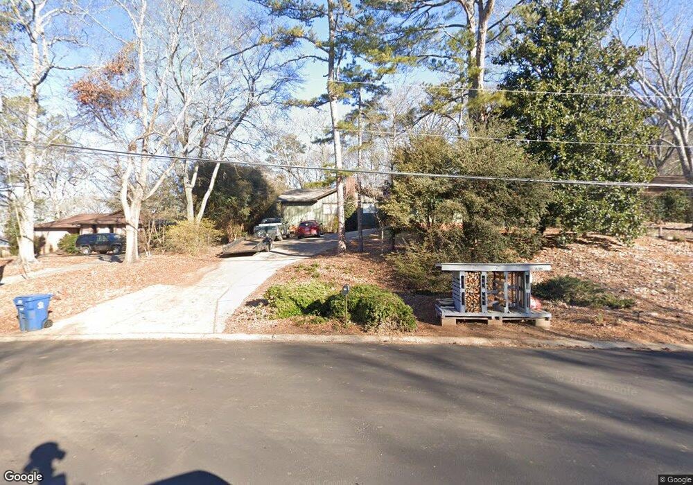
200 Spalding Cir Athens, GA 30605
Estimated Value: $304,000 - $328,000
3
Beds
2
Baths
1,477
Sq Ft
$213/Sq Ft
Est. Value
About This Home
This home is located at 200 Spalding Cir, Athens, GA 30605 and is currently estimated at $314,051, approximately $212 per square foot. 200 Spalding Cir is a home located in Clarke County with nearby schools including Barnett Shoals Elementary School, Hilsman Middle School, and Cedar Shoals High School.
Ownership History
Date
Name
Owned For
Owner Type
Purchase Details
Closed on
Mar 30, 2005
Sold by
Green Gregg A
Bought by
Burley Robert D and Burley Jennifer Craigo
Current Estimated Value
Home Financials for this Owner
Home Financials are based on the most recent Mortgage that was taken out on this home.
Original Mortgage
$113,600
Outstanding Balance
$54,871
Interest Rate
5%
Mortgage Type
New Conventional
Estimated Equity
$259,180
Purchase Details
Closed on
Nov 5, 1999
Sold by
Wang Marian
Bought by
Green Gregg A and Nancy Chrystal Gree
Create a Home Valuation Report for This Property
The Home Valuation Report is an in-depth analysis detailing your home's value as well as a comparison with similar homes in the area
Home Values in the Area
Average Home Value in this Area
Purchase History
| Date | Buyer | Sale Price | Title Company |
|---|---|---|---|
| Burley Robert D | $142,000 | -- | |
| Green Gregg A | $105,000 | -- |
Source: Public Records
Mortgage History
| Date | Status | Borrower | Loan Amount |
|---|---|---|---|
| Open | Burley Robert D | $113,600 | |
| Closed | Burley Robert D | $14,200 |
Source: Public Records
Tax History Compared to Growth
Tax History
| Year | Tax Paid | Tax Assessment Tax Assessment Total Assessment is a certain percentage of the fair market value that is determined by local assessors to be the total taxable value of land and additions on the property. | Land | Improvement |
|---|---|---|---|---|
| 2025 | $2,895 | $112,442 | $12,000 | $100,442 |
| 2024 | $2,895 | $104,108 | $12,000 | $92,108 |
| 2023 | $1,938 | $97,023 | $12,000 | $85,023 |
| 2022 | $2,354 | $83,799 | $12,000 | $71,799 |
| 2021 | $1,977 | $68,660 | $12,000 | $56,660 |
| 2020 | $1,750 | $61,934 | $12,000 | $49,934 |
| 2019 | $1,652 | $58,670 | $12,000 | $46,670 |
| 2018 | $1,566 | $56,116 | $12,000 | $44,116 |
| 2017 | $1,327 | $49,100 | $12,000 | $37,100 |
| 2016 | $1,340 | $49,459 | $12,000 | $37,459 |
| 2015 | $1,328 | $49,046 | $12,000 | $37,046 |
| 2014 | $1,364 | $50,048 | $12,000 | $38,048 |
Source: Public Records
Map
Nearby Homes
- 210 Spalding Cir
- 220 Spalding Cir
- 205 Spalding Cir
- 180 Spalding Cir
- 180 Spalding Cir
- 185 Spalding Cir
- 230 Spalding Cir
- 120 Spalding Ct
- 225 Spalding Cir
- 160 Spalding Cir
- 130 Spalding Ct
- 255 Spalding Cir Unit n/a
- 255 Spalding Cir
- 250 Spalding Cir
- 135 Spalding Ct
- 260 Spalding Cir
- 150 Spalding Cir
- 142 Spalding Ct
- 155 Spalding Cir
- 265 Spalding Cir