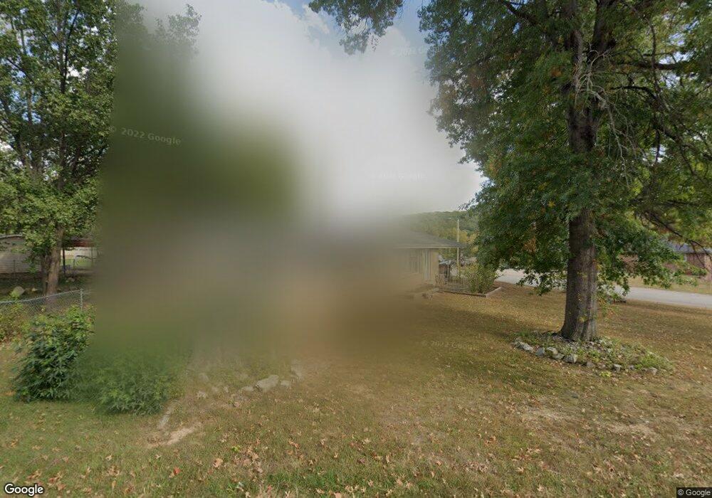
200 Summit Ave Waynesville, MO 65583
Estimated Value: $147,429 - $181,000
3
Beds
3
Baths
1,248
Sq Ft
$131/Sq Ft
Est. Value
About This Home
This home is located at 200 Summit Ave, Waynesville, MO 65583 and is currently estimated at $163,857, approximately $131 per square foot. 200 Summit Ave is a home located in Pulaski County with nearby schools including Waynesville East Elementary School, Freedom Elementary School, and Waynesville Middle School.
Ownership History
Date
Name
Owned For
Owner Type
Purchase Details
Closed on
Jul 24, 2020
Bought by
Msms 1 Llc
Current Estimated Value
Purchase Details
Closed on
Aug 15, 2007
Sold by
Miller Mary Sue
Bought by
Msm S Llc
Purchase Details
Closed on
Mar 14, 2005
Sold by
Arat Michele J
Bought by
Miller Mary S
Home Financials for this Owner
Home Financials are based on the most recent Mortgage that was taken out on this home.
Original Mortgage
$74,000
Interest Rate
5.66%
Mortgage Type
Purchase Money Mortgage
Create a Home Valuation Report for This Property
The Home Valuation Report is an in-depth analysis detailing your home's value as well as a comparison with similar homes in the area
Home Values in the Area
Average Home Value in this Area
Purchase History
| Date | Buyer | Sale Price | Title Company |
|---|---|---|---|
| Msms 1 Llc | -- | -- | |
| Msm S Llc | -- | None Available | |
| Miller Mary S | $75,000 | None Available |
Source: Public Records
Mortgage History
| Date | Status | Borrower | Loan Amount |
|---|---|---|---|
| Previous Owner | Miller Mary S | $74,000 |
Source: Public Records
Tax History Compared to Growth
Tax History
| Year | Tax Paid | Tax Assessment Tax Assessment Total Assessment is a certain percentage of the fair market value that is determined by local assessors to be the total taxable value of land and additions on the property. | Land | Improvement |
|---|---|---|---|---|
| 2024 | $535 | $12,654 | $3,078 | $9,576 |
| 2023 | $522 | $12,654 | $3,078 | $9,576 |
| 2022 | $519 | $12,654 | $3,078 | $9,576 |
| 2021 | $513 | $12,654 | $3,078 | $9,576 |
| 2020 | $505 | $13,592 | $0 | $0 |
| 2019 | $505 | $12,198 | $0 | $0 |
| 2018 | $504 | $12,198 | $0 | $0 |
| 2017 | $498 | $13,592 | $0 | $0 |
| 2016 | $474 | $12,200 | $0 | $0 |
| 2015 | -- | $12,200 | $0 | $0 |
| 2014 | $465 | $12,200 | $0 | $0 |
Source: Public Records
Map
Nearby Homes
- 107 Hull Dr
- 1201 Hull Valley Dr
- 123 Hull Dr
- 212 Tremont Dr
- 307 Ellis Ave
- 312 Summit Ave
- 0 Lot 1 Westwinds S D
- 100 S Newport Ln
- 103 S Newport Ln
- 107 Tiger St
- 412 Fleetwood Dr
- 1802 Pearson St
- 602 Sunset Dr
- 600 Sunset Dr
- 0 El Loma St
- 000 Discovery Dr
- 8 Nathan St
- 104 Story St
- 101 Ridge Ct
- 20250 Simmons Rd
- 1212 Home Ave
- 1213 Home Ave
- 201 Summit Ave
- 202 Summit Ave
- 205 Summit Ave
- 100 Summit Ave
- 1210 Home Ave
- 105 Summit Ave
- 209 Summit Ave
- 204 Summit Ave
- 103 Summit Ave
- 1203 Historic 66 W
- 0 Summit Pass Xxx Unit 900781
- 0 Summit Pass Xxx Unit 903826
- 0Lot 12 Summit
- 0Lot 88 The Summit
- 92 Summit Pass
- 0Lot 56 Sumit
- 0Lot 75 The Summit
- 96 Summit Pass