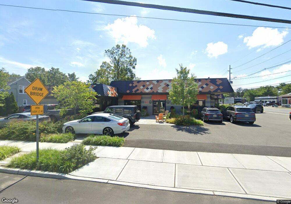
200 Union Ave Brielle, NJ 08730
Estimated Value: $1,327,690
Studio
--
Bath
4,536
Sq Ft
$293/Sq Ft
Est. Value
About This Home
This home is located at 200 Union Ave, Brielle, NJ 08730 and is currently estimated at $1,327,690, approximately $292 per square foot. 200 Union Ave is a home located in Monmouth County with nearby schools including Brielle Elementary School and St. Peter School.
Ownership History
Date
Name
Owned For
Owner Type
Purchase Details
Closed on
Nov 19, 2012
Sold by
Art And Alice Associates Llc
Bought by
200 Union Ave Llc
Current Estimated Value
Home Financials for this Owner
Home Financials are based on the most recent Mortgage that was taken out on this home.
Original Mortgage
$620,000
Outstanding Balance
$428,634
Interest Rate
3.4%
Mortgage Type
Commercial
Estimated Equity
$899,056
Create a Home Valuation Report for This Property
The Home Valuation Report is an in-depth analysis detailing your home's value as well as a comparison with similar homes in the area
Home Values in the Area
Average Home Value in this Area
Purchase History
| Date | Buyer | Sale Price | Title Company |
|---|---|---|---|
| 200 Union Ave Llc | $587,500 | None Available |
Source: Public Records
Mortgage History
| Date | Status | Borrower | Loan Amount |
|---|---|---|---|
| Open | 200 Union Ave Llc | $620,000 |
Source: Public Records
Tax History
| Year | Tax Paid | Tax Assessment Tax Assessment Total Assessment is a certain percentage of the fair market value that is determined by local assessors to be the total taxable value of land and additions on the property. | Land | Improvement |
|---|---|---|---|---|
| 2025 | $14,001 | $1,189,700 | $396,000 | $793,700 |
| 2024 | $14,109 | $1,128,200 | $347,000 | $781,200 |
| 2023 | $14,109 | $1,098,000 | $323,000 | $775,000 |
| 2022 | $14,675 | $1,041,800 | $298,000 | $743,800 |
| 2021 | $14,675 | $957,300 | $272,500 | $684,800 |
| 2020 | $15,691 | $958,500 | $272,500 | $686,000 |
| 2019 | $15,441 | $957,300 | $272,500 | $684,800 |
| 2018 | $15,482 | $947,500 | $272,500 | $675,000 |
| 2017 | $15,490 | $936,500 | $267,600 | $668,900 |
| 2016 | $15,159 | $918,200 | $267,600 | $650,600 |
| 2015 | $14,965 | $899,900 | $267,600 | $632,300 |
| 2014 | $15,885 | $1,019,600 | $548,700 | $470,900 |
Source: Public Records
Map
Nearby Homes
Your Personal Tour Guide
Ask me questions while you tour the home.