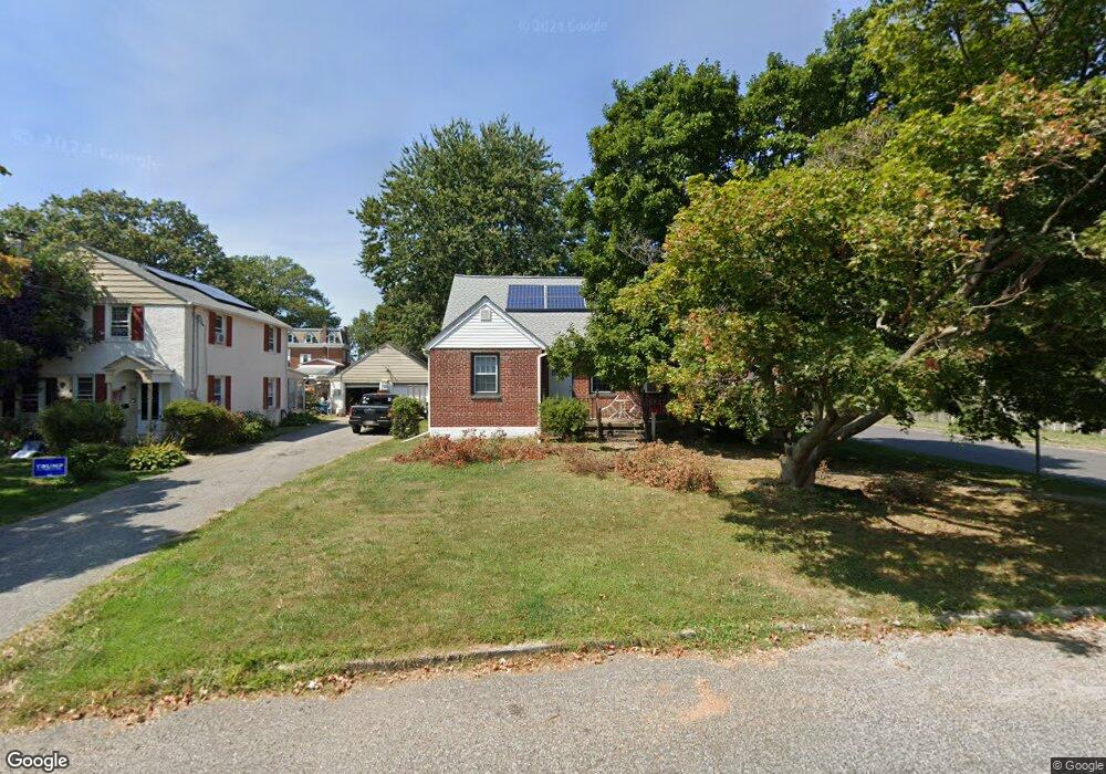
200 W Forrestview Rd Brookhaven, PA 19015
Estimated Value: $295,000 - $326,679
4
Beds
2
Baths
1,469
Sq Ft
$209/Sq Ft
Est. Value
About This Home
This home is located at 200 W Forrestview Rd, Brookhaven, PA 19015 and is currently estimated at $307,170, approximately $209 per square foot. 200 W Forrestview Rd is a home located in Delaware County with nearby schools including Widener Partnership Charter School, Drexel Newman Academy, and The Christian Academy.
Ownership History
Date
Name
Owned For
Owner Type
Purchase Details
Closed on
Feb 8, 2001
Sold by
Gebhart Michael and Kowalczuk Tracy
Bought by
Gebhart Michael
Current Estimated Value
Home Financials for this Owner
Home Financials are based on the most recent Mortgage that was taken out on this home.
Original Mortgage
$113,500
Outstanding Balance
$40,445
Interest Rate
6.9%
Estimated Equity
$266,725
Create a Home Valuation Report for This Property
The Home Valuation Report is an in-depth analysis detailing your home's value as well as a comparison with similar homes in the area
Home Values in the Area
Average Home Value in this Area
Purchase History
| Date | Buyer | Sale Price | Title Company |
|---|---|---|---|
| Gebhart Michael | $54,115 | -- |
Source: Public Records
Mortgage History
| Date | Status | Borrower | Loan Amount |
|---|---|---|---|
| Open | Gebhart Michael | $113,500 |
Source: Public Records
Tax History Compared to Growth
Tax History
| Year | Tax Paid | Tax Assessment Tax Assessment Total Assessment is a certain percentage of the fair market value that is determined by local assessors to be the total taxable value of land and additions on the property. | Land | Improvement |
|---|---|---|---|---|
| 2025 | $4,823 | $187,110 | $64,020 | $123,090 |
| 2024 | $4,823 | $187,110 | $64,020 | $123,090 |
| 2023 | $4,575 | $184,970 | $64,020 | $120,950 |
| 2022 | $4,307 | $184,970 | $64,020 | $120,950 |
| 2021 | $6,723 | $184,970 | $64,020 | $120,950 |
| 2020 | $4,328 | $108,230 | $38,930 | $69,300 |
| 2019 | $4,243 | $108,230 | $38,930 | $69,300 |
| 2018 | $4,114 | $108,230 | $0 | $0 |
| 2017 | $4,025 | $108,230 | $0 | $0 |
| 2016 | $594 | $108,230 | $0 | $0 |
| 2015 | $594 | $108,230 | $0 | $0 |
| 2014 | $594 | $108,230 | $0 | $0 |
Source: Public Records
Map
Nearby Homes
- 2901 Arlington Ave
- 900 Main St
- 210 Beechwood Rd
- 104 School House Ln
- 114 E Parkway Ave
- 200 E Roland Rd
- 1007 Woodside Ave
- 2420 Edgmont Ave
- 600 Harvin Way Unit 612
- 311 9th St
- 215 8th St
- 157 Meadowbrook Ln
- 3727 6th St
- 4105 Mount Vernon Ave
- 34 E 23rd St
- 2534 Sandeland St
- 280 Bridgewater Rd Unit D1
- 280 Bridgewater Rd Unit C7
- 280 Bridgewater Rd Unit D10
- 231 Creekside Dr Unit A21
- 202 W Forrestview Rd
- 202 W Forestview Rd
- 142 W Forrestview Rd
- 3100 Arlington Ave
- 204 W Forrestview Rd
- 201 W Forrestview Rd
- 159 W Garrison Rd
- 157 W Garrison Rd
- 134 W Forrestview Rd
- 153 W Garrison Rd
- 206 W Forrestview Rd
- 3200 Arlington Ave
- 123 W Forrestview Rd
- 151 W Garrison Rd
- 132 W Forrestview Rd
- 203 Upland Rd
- 203 W Forrestview Rd
- 147 W Garrison Rd
- 127 W Forrestview Rd
- 121 W Forrestview Rd