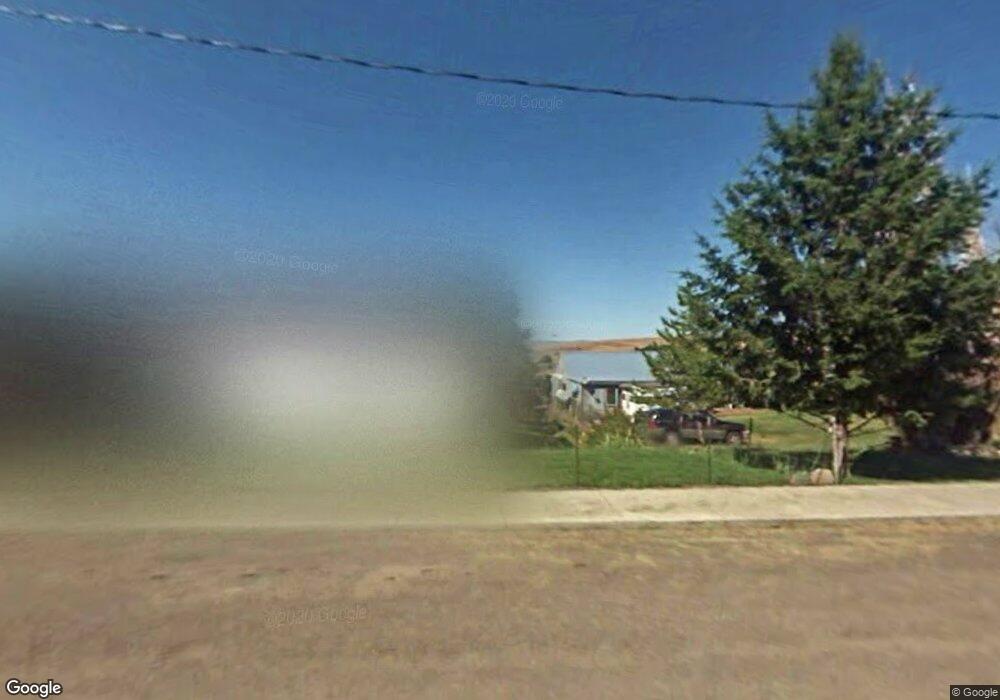
200 W Main St Long Creek, OR 97856
Estimated Value: $181,000 - $257,461
--
Bed
1
Bath
1,272
Sq Ft
$173/Sq Ft
Est. Value
About This Home
This home is located at 200 W Main St, Long Creek, OR 97856 and is currently estimated at $220,115, approximately $173 per square foot. 200 W Main St is a home located in Grant County with nearby schools including Long Creek School.
Ownership History
Date
Name
Owned For
Owner Type
Purchase Details
Closed on
Oct 7, 2020
Sold by
Coghill Karl M
Bought by
Imholt Jackson J and Imholt Natalie F
Current Estimated Value
Home Financials for this Owner
Home Financials are based on the most recent Mortgage that was taken out on this home.
Original Mortgage
$126,000
Outstanding Balance
$112,070
Interest Rate
2.9%
Mortgage Type
New Conventional
Estimated Equity
$108,045
Purchase Details
Closed on
Sep 20, 2017
Sold by
Giandomenico Amy
Bought by
Coghill Karl M
Create a Home Valuation Report for This Property
The Home Valuation Report is an in-depth analysis detailing your home's value as well as a comparison with similar homes in the area
Home Values in the Area
Average Home Value in this Area
Purchase History
| Date | Buyer | Sale Price | Title Company |
|---|---|---|---|
| Imholt Jackson J | $140,000 | None Available | |
| Coghill Karl M | $132,500 | None Available |
Source: Public Records
Mortgage History
| Date | Status | Borrower | Loan Amount |
|---|---|---|---|
| Open | Imholt Jackson J | $126,000 |
Source: Public Records
Tax History Compared to Growth
Tax History
| Year | Tax Paid | Tax Assessment Tax Assessment Total Assessment is a certain percentage of the fair market value that is determined by local assessors to be the total taxable value of land and additions on the property. | Land | Improvement |
|---|---|---|---|---|
| 2024 | $700 | $51,131 | $16,173 | $34,958 |
| 2023 | $680 | $49,642 | $15,703 | $33,939 |
| 2022 | $657 | $48,197 | $15,246 | $32,951 |
| 2021 | $641 | $46,794 | $6,748 | $40,046 |
| 2020 | $274 | $45,432 | $6,550 | $38,882 |
| 2019 | $663 | $44,109 | $6,359 | $37,750 |
| 2018 | $694 | $42,825 | $6,174 | $36,651 |
| 2017 | $681 | $41,578 | $8,800 | $32,778 |
| 2016 | $656 | $40,367 | $8,542 | $31,825 |
| 2015 | $669 | $38,051 | $9,544 | $28,507 |
| 2014 | $669 | $38,051 | $9,544 | $28,507 |
| 2013 | $659 | $36,943 | $9,266 | $27,677 |
Source: Public Records
Map
Nearby Homes
- 400 E Main St
- 265 Hwy 395 N
- 265 Hwy 395 N
- 0 E Main St
- 455 W 3rd St
- 250 2nd St
- 61702 Middle Fork Ln
- 40035 Ritter Rd
- 0 Usfs 112 Unit 220209206
- 60255 National Forest Development Road 36
- 0 Usfs 36 Rd Unit 220207422
- 31367 Clarks Creek Rd
- 47345 Ritter Rd
- 45469 Wall Creek Rd
- 0 Ritter Rd Unit 23103706
- 52960 Cummings Creek Rd
- 0 Belshaw Rd Unit 24252186
- 44221 Top Rd
- 0 Hwy 395 Unit 220203788
- 0 Hwy 395 Unit 603386933
