200 Walden Rd Forsyth, GA 31029
Estimated Value: $390,000 - $552,675
3
Beds
1
Bath
3,659
Sq Ft
$135/Sq Ft
Est. Value
About This Home
This home is located at 200 Walden Rd, Forsyth, GA 31029 and is currently estimated at $492,558, approximately $134 per square foot. 200 Walden Rd is a home located in Monroe County with nearby schools including T.G. Scott Elementary School, Mary Persons High School, and Monroe Academy.
Ownership History
Date
Name
Owned For
Owner Type
Purchase Details
Closed on
Nov 5, 2020
Sold by
Banks Tamara M
Bought by
Banks Donald E
Current Estimated Value
Home Financials for this Owner
Home Financials are based on the most recent Mortgage that was taken out on this home.
Original Mortgage
$403,000
Outstanding Balance
$282,164
Interest Rate
2.8%
Mortgage Type
New Conventional
Estimated Equity
$210,394
Purchase Details
Closed on
Apr 20, 2004
Bought by
Banks Donald and Banks Tamara M
Create a Home Valuation Report for This Property
The Home Valuation Report is an in-depth analysis detailing your home's value as well as a comparison with similar homes in the area
Home Values in the Area
Average Home Value in this Area
Purchase History
| Date | Buyer | Sale Price | Title Company |
|---|---|---|---|
| Banks Donald E | -- | -- | |
| Banks Donald | $173,000 | -- |
Source: Public Records
Mortgage History
| Date | Status | Borrower | Loan Amount |
|---|---|---|---|
| Open | Banks Donald E | $403,000 |
Source: Public Records
Tax History Compared to Growth
Tax History
| Year | Tax Paid | Tax Assessment Tax Assessment Total Assessment is a certain percentage of the fair market value that is determined by local assessors to be the total taxable value of land and additions on the property. | Land | Improvement |
|---|---|---|---|---|
| 2024 | $4,173 | $160,240 | $21,880 | $138,360 |
| 2023 | $4,005 | $139,800 | $21,880 | $117,920 |
| 2022 | $3,460 | $139,800 | $21,880 | $117,920 |
| 2021 | $3,582 | $139,800 | $21,880 | $117,920 |
| 2020 | $3,147 | $139,800 | $21,880 | $117,920 |
| 2019 | $3,168 | $139,800 | $21,880 | $117,920 |
| 2018 | $3,175 | $139,800 | $21,880 | $117,920 |
| 2017 | $4,063 | $139,800 | $21,880 | $117,920 |
| 2016 | $1,670 | $91,120 | $21,880 | $69,240 |
| 2015 | $1,581 | $91,120 | $21,880 | $69,240 |
| 2014 | $1,524 | $91,120 | $21,880 | $69,240 |
Source: Public Records
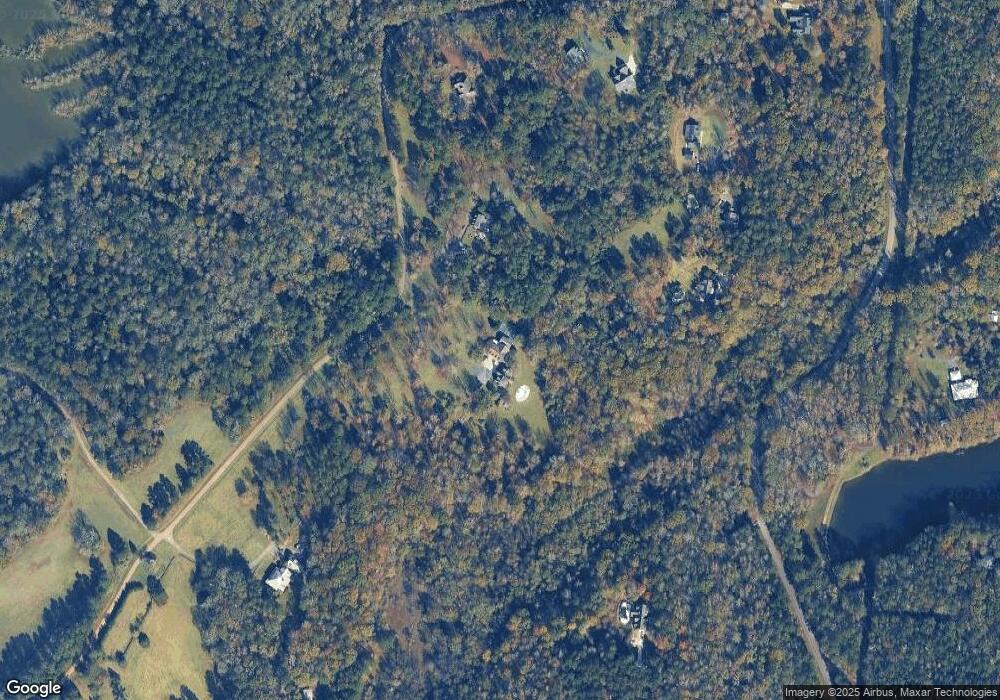
Map
Nearby Homes
- 0 Rogers Church Rd Unit 10643854
- Lot 15-A-2 Creekside Ln
- Lot 15-A-1 Creekside Ln
- Lot 26-A-2 Creekside Trail
- Lot 26-A-1 Creekside Trail
- Lot 27-A-1 Creekside Trail
- LOT 13 Creekside Ln
- 0 Yellow Creek Rd Unit 24433636
- 0 Yellow Creek Rd Unit 24433638
- 14 Creekside Ct
- 14 Creekside Ct
- 106 Creekside Ct
- 1774 Maynards Mill Rd
- 0 Montpelier Springs Rd Unit 13 M162038
- 0 Montpelier Springs Rd Unit 10 M162036
- 1122 Irongate
- 1395 Josey Rd
- 112 Irongate
- 137 Shady Dale Dr