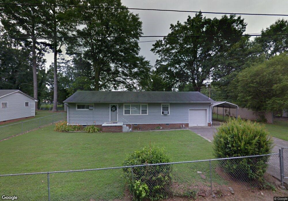
200 West Ave Dalton, GA 30721
Estimated Value: $160,000 - $198,000
--
Bed
1
Bath
1,032
Sq Ft
$173/Sq Ft
Est. Value
About This Home
This home is located at 200 West Ave, Dalton, GA 30721 and is currently estimated at $178,151, approximately $172 per square foot. 200 West Ave is a home located in Whitfield County with nearby schools including Eastside Elementary School, Eastbrook Middle School, and Southeast Whitfield County High School.
Ownership History
Date
Name
Owned For
Owner Type
Purchase Details
Closed on
Nov 23, 2022
Sold by
Byrd & Watts Llc
Bought by
Gonzalez Matthew Lynn
Current Estimated Value
Home Financials for this Owner
Home Financials are based on the most recent Mortgage that was taken out on this home.
Original Mortgage
$154,450
Outstanding Balance
$149,773
Interest Rate
7.08%
Mortgage Type
FHA
Estimated Equity
$28,378
Purchase Details
Closed on
Mar 24, 2021
Sold by
Mcdaniel Margaret Dale
Bought by
Byrd & Watts Llc
Purchase Details
Closed on
Dec 1, 1994
Bought by
Mcdaniel Margaret E
Create a Home Valuation Report for This Property
The Home Valuation Report is an in-depth analysis detailing your home's value as well as a comparison with similar homes in the area
Home Values in the Area
Average Home Value in this Area
Purchase History
| Date | Buyer | Sale Price | Title Company |
|---|---|---|---|
| Gonzalez Matthew Lynn | $157,300 | -- | |
| Byrd & Watts Llc | $50,000 | -- | |
| Mcdaniel Margaret E | $24,000 | -- |
Source: Public Records
Mortgage History
| Date | Status | Borrower | Loan Amount |
|---|---|---|---|
| Open | Gonzalez Matthew Lynn | $154,450 |
Source: Public Records
Tax History Compared to Growth
Tax History
| Year | Tax Paid | Tax Assessment Tax Assessment Total Assessment is a certain percentage of the fair market value that is determined by local assessors to be the total taxable value of land and additions on the property. | Land | Improvement |
|---|---|---|---|---|
| 2024 | $1,057 | $63,026 | $12,000 | $51,026 |
| 2023 | $1,057 | $42,175 | $12,000 | $30,175 |
| 2022 | $590 | $25,956 | $4,095 | $21,861 |
| 2021 | $64 | $25,956 | $4,095 | $21,861 |
| 2020 | $70 | $25,956 | $4,095 | $21,861 |
| 2019 | $73 | $25,956 | $4,095 | $21,861 |
| 2018 | $76 | $25,956 | $4,095 | $21,861 |
| 2017 | $76 | $25,956 | $4,095 | $21,861 |
| 2016 | $46 | $23,992 | $4,095 | $19,897 |
| 2014 | $32 | $23,992 | $4,095 | $19,897 |
| 2013 | -- | $23,992 | $4,095 | $19,897 |
Source: Public Records
Map
Nearby Homes
- 118 Hill Rd
- 143 Staten St
- 136 Wiltshire Dr
- 359 Pacer Ln Unit 4
- 213 Nashville St
- 00 Tibbs Bridge Rd
- 00 Wooten Dr
- 307 Gay St
- 115 Wooten Dr
- 1902 Bartenfield Dr
- 1629 Roosevelt Dr
- TBD Old Grade Rd
- 0 Old Grade Rd
- trac 2 Roosevelt Dr
- trac 3 Roosevelt Dr
- 104 Elrod Dr
- 00 Hill Rd
- 1412 Stevenson Dr
- 514 Sheridan Ave
- 1401 Eastbrook Dr SE