200 West Ln Ranger, GA 30734
Estimated Value: $267,948 - $536,000
--
Bed
--
Bath
1,288
Sq Ft
$286/Sq Ft
Est. Value
About This Home
This home is located at 200 West Ln, Ranger, GA 30734 and is currently estimated at $368,649, approximately $286 per square foot. 200 West Ln is a home with nearby schools including Hill City Elementary School, Pickens County Middle School, and Pickens County High School.
Ownership History
Date
Name
Owned For
Owner Type
Purchase Details
Closed on
Dec 12, 2022
Sold by
West William L
Bought by
Smith Roger Lonnie and Smith Kristi Lynn
Current Estimated Value
Purchase Details
Closed on
Aug 19, 2022
Sold by
Evans Seth Randal
Bought by
West William L and West Christine W
Purchase Details
Closed on
Jun 18, 2021
Sold by
Ford Charlotte Gordon
Bought by
Evans Seth Randal and Evans Amy Elizabeth
Home Financials for this Owner
Home Financials are based on the most recent Mortgage that was taken out on this home.
Original Mortgage
$43,500
Interest Rate
2.9%
Mortgage Type
Commercial
Purchase Details
Closed on
Mar 15, 1983
Bought by
Gordon Charlotte A
Create a Home Valuation Report for This Property
The Home Valuation Report is an in-depth analysis detailing your home's value as well as a comparison with similar homes in the area
Home Values in the Area
Average Home Value in this Area
Purchase History
| Date | Buyer | Sale Price | Title Company |
|---|---|---|---|
| Smith Roger Lonnie | -- | -- | |
| West William L | $190,000 | -- | |
| Evans Seth Randal | $58,000 | -- | |
| Gordon Charlotte A | $14,000 | -- |
Source: Public Records
Mortgage History
| Date | Status | Borrower | Loan Amount |
|---|---|---|---|
| Previous Owner | Evans Seth Randal | $43,500 |
Source: Public Records
Tax History Compared to Growth
Tax History
| Year | Tax Paid | Tax Assessment Tax Assessment Total Assessment is a certain percentage of the fair market value that is determined by local assessors to be the total taxable value of land and additions on the property. | Land | Improvement |
|---|---|---|---|---|
| 2024 | $2,276 | $119,982 | $36,176 | $83,806 |
| 2023 | $2,440 | $119,982 | $36,176 | $83,806 |
| 2022 | $472 | $28,076 | $28,076 | $0 |
| 2021 | $612 | $28,076 | $28,076 | $0 |
| 2020 | $630 | $28,076 | $28,076 | $0 |
| 2019 | $645 | $28,076 | $28,076 | $0 |
| 2018 | $651 | $28,076 | $28,076 | $0 |
| 2017 | $661 | $28,076 | $28,076 | $0 |
| 2016 | $622 | $25,996 | $25,996 | $0 |
| 2015 | $608 | $25,996 | $25,996 | $0 |
| 2014 | $609 | $25,996 | $25,996 | $0 |
| 2013 | -- | $25,996 | $25,996 | $0 |
Source: Public Records
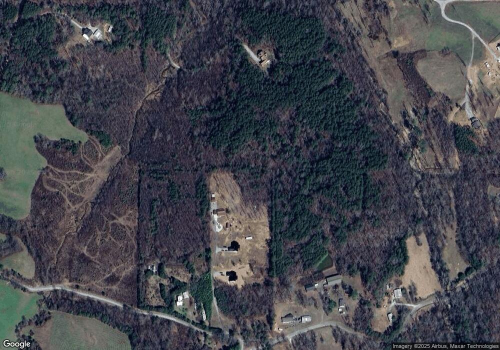
Map
Nearby Homes
- 668 Long Rd
- 1514 Bryant Rd
- 11953 Henderson Mountain Rd
- 0 Young Loop Unit 7206
- Lot 4 Young Loop
- Lot 5 Young Loop
- 572 Young Loop
- 0 Highway 53 W Unit 7205- NORTH 10585266
- 2075 Jerusalem Church Rd
- 0 Pin Hook Rd Unit 7616347
- 10746 Highway 53 W
- 0 Moores Gin Rd Unit 9693 10325272
- 2520 Carlan Rd
- Lot 1 Thompson Ln
- Lot 4 Jerusalem Church Rd
- 000 Black Knob Church Rd
- 487 Angel Rd
- 0 Stonecrest Rd
- 0 Black Knob Church Rd Unit TRACT 3
- 0 Black Knob Church Rd - Tract 3
- 1226 Long Rd
- 1062 Long Rd
- 000 Browning Rd
- 1054 Long Rd
- 585 Long Rd
- 1767 A Long Branch Rd
- 91 Browning Rd
- 1101 Long Rd
- 0 Long Rd
- 357 Pioneer Farms Rd Unit C
- 357 Pioneer Farms Rd
- 832 Watson Lake Rd
- 740 Long Rd
- 956 Long Rd
- 955 Long Rd
- 240 Pioneer Farms Rd
- 363 Browning Rd
- 850 Browning Rd
- 800 Browning Rd
- 787 Watson Lake Rd