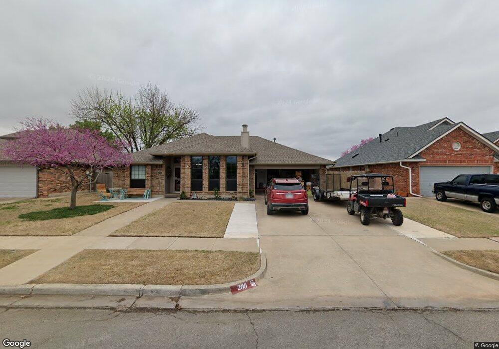
200 Wilderness Dr Norman, OK 73071
Northeast Norman NeighborhoodEstimated Value: $219,000 - $230,000
3
Beds
2
Baths
1,523
Sq Ft
$148/Sq Ft
Est. Value
About This Home
This home is located at 200 Wilderness Dr, Norman, OK 73071 and is currently estimated at $225,619, approximately $148 per square foot. 200 Wilderness Dr is a home located in Cleveland County with nearby schools including Jefferson Elementary School, Longfellow Middle School, and Norman North High School.
Ownership History
Date
Name
Owned For
Owner Type
Purchase Details
Closed on
Aug 22, 2022
Sold by
Sharon Harrison
Bought by
Harrison William and Harrison Sharon
Current Estimated Value
Purchase Details
Closed on
Sep 6, 2006
Sold by
Masters Sandra L and Aman Sandra L
Bought by
Overman Timothy J
Home Financials for this Owner
Home Financials are based on the most recent Mortgage that was taken out on this home.
Original Mortgage
$103,920
Interest Rate
6.72%
Mortgage Type
New Conventional
Create a Home Valuation Report for This Property
The Home Valuation Report is an in-depth analysis detailing your home's value as well as a comparison with similar homes in the area
Home Values in the Area
Average Home Value in this Area
Purchase History
| Date | Buyer | Sale Price | Title Company |
|---|---|---|---|
| Harrison William | -- | None Listed On Document | |
| Overman Timothy J | $130,000 | None Available |
Source: Public Records
Mortgage History
| Date | Status | Borrower | Loan Amount |
|---|---|---|---|
| Previous Owner | Overman Timothy J | $103,920 |
Source: Public Records
Tax History
| Year | Tax Paid | Tax Assessment Tax Assessment Total Assessment is a certain percentage of the fair market value that is determined by local assessors to be the total taxable value of land and additions on the property. | Land | Improvement |
|---|---|---|---|---|
| 2023 | $2,404 | $20,010 | $3,960 | $16,050 |
| 2022 | $2,305 | $20,010 | $3,960 | $16,050 |
| 2021 | $1,760 | $15,500 | $3,196 | $12,304 |
| 2020 | $1,668 | $15,048 | $2,640 | $12,408 |
| 2019 | $1,698 | $15,048 | $2,640 | $12,408 |
| 2018 | $1,646 | $15,049 | $2,640 | $12,409 |
| 2017 | $1,665 | $15,049 | $0 | $0 |
| 2016 | $1,681 | $14,957 | $2,624 | $12,333 |
Source: Public Records
Map
Nearby Homes
- 1617 Wilderness Dr
- 1705 Oriole Ct
- 1716 Wilderness Dr
- 00 Daisy Ln
- 117 Crawford Ct Unit 117 & 119
- 1909 Chandelier Dr Unit 1909 1911
- 1706 N Peters Ave
- 108 E Dale St
- 109 E Hayes St
- 714 Oliver St
- 809 Oliver St
- 309 Falcon Ct
- 415 E Frank St
- 114 W Himes St
- 1514 Eisenhower Rd
- 616 N Peters Ave
- 622 E Gray St
- 416 W Mosier St
- 121 Aniol Ave
- 2418 Weatherford Dr
- 120 Wilderness Dr
- 204 Wilderness Dr
- 208 Wilderness Dr
- 116 Wilderness Dr
- 1500 Oriole Dr
- 1501 Oriole Dr
- 212 Wilderness Dr
- 112 Wilderness Dr
- 108 Wilderness Dr
- 1504 Oriole Dr
- 1501 Wilderness Dr
- 1505 Oriole Dr
- 216 Wilderness Dr
- 1500 War Bird Dr
- 1504 War Bird Dr
- 1508 Oriole Dr
- 1505 Wilderness Dr
- 104 Wilderness Dr
- 1509 Oriole Dr
- 220 Wilderness Dr