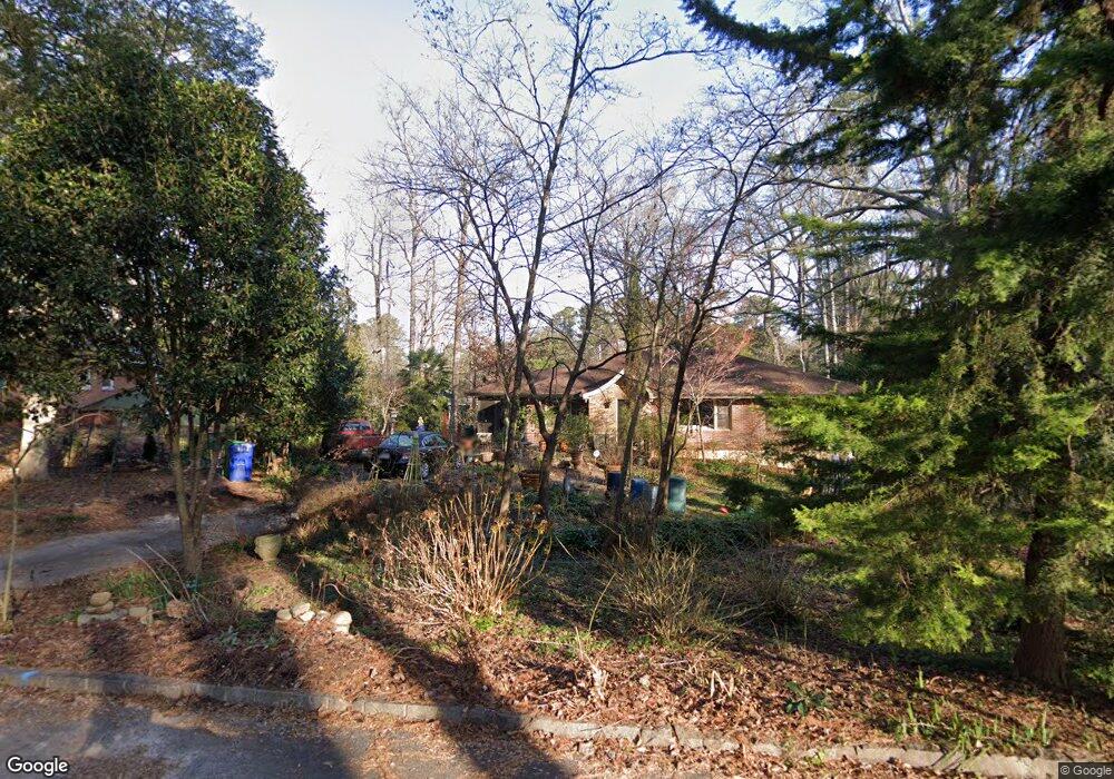
2000 Azalea Cir Decatur, GA 30033
Toco Hills NeighborhoodEstimated Value: $438,000 - $497,000
3
Beds
1
Bath
1,386
Sq Ft
$341/Sq Ft
Est. Value
About This Home
This home is located at 2000 Azalea Cir, Decatur, GA 30033 and is currently estimated at $472,435, approximately $340 per square foot. 2000 Azalea Cir is a home located in DeKalb County with nearby schools including Sagamore Hills Elementary School, Henderson Middle School, and Lakeside High School.
Ownership History
Date
Name
Owned For
Owner Type
Purchase Details
Closed on
Sep 21, 2004
Sold by
Kenn Michael D
Bought by
Knee Michael D and Ethridge Steven
Current Estimated Value
Home Financials for this Owner
Home Financials are based on the most recent Mortgage that was taken out on this home.
Original Mortgage
$159,500
Interest Rate
5.67%
Mortgage Type
New Conventional
Purchase Details
Closed on
Sep 3, 1999
Sold by
Powell Ronnie W
Bought by
Knee Michael D
Home Financials for this Owner
Home Financials are based on the most recent Mortgage that was taken out on this home.
Original Mortgage
$144,350
Interest Rate
7.75%
Mortgage Type
New Conventional
Create a Home Valuation Report for This Property
The Home Valuation Report is an in-depth analysis detailing your home's value as well as a comparison with similar homes in the area
Home Values in the Area
Average Home Value in this Area
Purchase History
| Date | Buyer | Sale Price | Title Company |
|---|---|---|---|
| Knee Michael D | -- | -- | |
| Knee Michael D | $192,500 | -- |
Source: Public Records
Mortgage History
| Date | Status | Borrower | Loan Amount |
|---|---|---|---|
| Previous Owner | Knee Michael D | $159,500 | |
| Previous Owner | Knee Michael D | $144,350 |
Source: Public Records
Tax History Compared to Growth
Tax History
| Year | Tax Paid | Tax Assessment Tax Assessment Total Assessment is a certain percentage of the fair market value that is determined by local assessors to be the total taxable value of land and additions on the property. | Land | Improvement |
|---|---|---|---|---|
| 2025 | $4,608 | $159,400 | $61,280 | $98,120 |
| 2024 | $4,520 | $148,480 | $61,280 | $87,200 |
| 2023 | $4,520 | $153,560 | $61,280 | $92,280 |
| 2022 | $4,137 | $127,080 | $60,000 | $67,080 |
| 2021 | $3,959 | $119,360 | $60,000 | $59,360 |
| 2020 | $3,896 | $116,400 | $60,000 | $56,400 |
| 2019 | $3,992 | $122,440 | $60,000 | $62,440 |
| 2018 | $3,336 | $111,280 | $60,000 | $51,280 |
| 2017 | $3,379 | $97,200 | $27,000 | $70,200 |
| 2016 | $3,027 | $89,480 | $27,000 | $62,480 |
| 2014 | $2,614 | $78,120 | $27,000 | $51,120 |
Source: Public Records
Map
Nearby Homes
- 2132 Clairmont Rd
- 1181 Providence Place
- 3154 N Druid Hills Rd
- 2150 Azalea Cir
- 2076 Patterson Park Rd
- 2147 Sylvania Dr
- 1322 Stanley Park Dr
- 1940 Townsend Ct NE Unit 15
- 2056 Falls Park Way Unit 230
- 1225 Hampton Park Rd
- 2090 Emmet Park Ln Unit 425
- 2059 Falls Park Way
- 1336 Stanley Park Dr
- 1407 Merry Ln NE
- 1174 City Park Ln Unit 245
- 1260 Yarkon Park Ln Unit 117
- 1155 Millennium Park Rd
- 1406 Winston Place
- 1461 Wembley Ct NE
- 1117 Moorestown Cir
- 1994 Azalea Cir
- 2006 Azalea Cir
- 1316 Amanda Cir
- 1320 Amanda Cir
- 1988 Azalea Cir
- 1304 Amanda Cir
- 2005 Azalea Cir
- 2072 Clairmont Rd
- 1995 Azalea Cir
- 2080 Clairmont Rd
- 1326 Amanda Cir
- 2088 Clairmont Rd
- 1982 Azalea Cir
- 1985 Azalea Cir
- 1298 Amanda Cir
- 2052 Clairmont Rd
- 2096 Clairmont Rd
- 1311 Amanda Cir
- 1975 Azalea Cir
- 1319 Amanda Cir