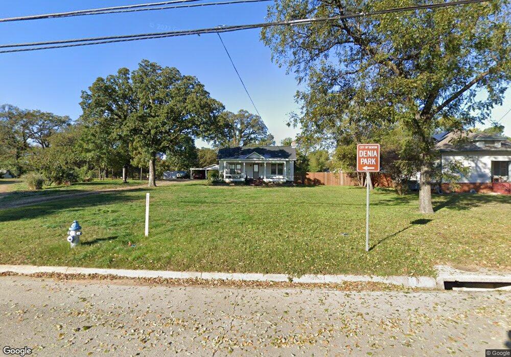
2000 Bernard St Denton, TX 76205
Denia NeighborhoodEstimated Value: $257,461
--
Bed
--
Bath
1,108
Sq Ft
$232/Sq Ft
Est. Value
About This Home
This home is located at 2000 Bernard St, Denton, TX 76205 and is currently priced at $257,461, approximately $232 per square foot. 2000 Bernard St is a home located in Denton County with nearby schools including Borman Elementary School, McMath Middle School, and Denton High School.
Ownership History
Date
Name
Owned For
Owner Type
Purchase Details
Closed on
Aug 29, 2013
Sold by
Jenson James Patrick and Henry Elizabeth Anne
Bought by
Jenson George M and Jenson Pat Ann
Current Estimated Value
Home Financials for this Owner
Home Financials are based on the most recent Mortgage that was taken out on this home.
Original Mortgage
$62,400
Interest Rate
4.36%
Mortgage Type
Purchase Money Mortgage
Purchase Details
Closed on
Mar 26, 2012
Sold by
Jenson Murray S
Bought by
Jenson James Patrick and Henry Elizabeth Anne
Create a Home Valuation Report for This Property
The Home Valuation Report is an in-depth analysis detailing your home's value as well as a comparison with similar homes in the area
Home Values in the Area
Average Home Value in this Area
Purchase History
| Date | Buyer | Sale Price | Title Company |
|---|---|---|---|
| Jenson George M | -- | None Available | |
| Jenson James Patrick | -- | None Available |
Source: Public Records
Mortgage History
| Date | Status | Borrower | Loan Amount |
|---|---|---|---|
| Closed | Jenson George M | $62,400 |
Source: Public Records
Tax History Compared to Growth
Tax History
| Year | Tax Paid | Tax Assessment Tax Assessment Total Assessment is a certain percentage of the fair market value that is determined by local assessors to be the total taxable value of land and additions on the property. | Land | Improvement |
|---|---|---|---|---|
| 2022 | $3,393 | $159,819 | $85,416 | $74,403 |
| 2021 | $2,474 | $114,476 | $56,944 | $57,532 |
| 2020 | $2,504 | $112,655 | $56,944 | $55,711 |
| 2019 | $2,423 | $106,000 | $56,944 | $49,056 |
| 2018 | $2,247 | $93,000 | $42,599 | $50,401 |
| 2017 | $2,064 | $92,064 | $42,599 | $49,465 |
| 2016 | $2,064 | $83,500 | $42,599 | $40,901 |
| 2015 | $1,973 | $78,217 | $42,599 | $35,618 |
| 2013 | -- | $72,424 | $42,599 | $29,825 |
Source: Public Records
Map
Nearby Homes
- 631 Acme St
- 2305 Bernard St
- 2314 Leslie St
- 2302 Mercedes Rd
- 1211 Lindsey St
- 2421 Mercedes Rd
- 1523 Oakwood Dr
- 1619 Mccormick St
- 2605 Mccormick St
- 2609 Mccormick St
- 1024 Greenlee St
- 2617 Mccormick St
- 2513 Goldfinch Dr
- 2621 Mccormick St
- 2700 Mccormick St
- 2512 Goldfinch Dr
- 2216 Redwing Dr
- 2708 Mccormick St
- 1308 Myrtle St
- 104 Daugherty St
- 1924 Bernard St
- 1923 Leslie St
- 1920 Bernard St
- 1919 Leslie St
- 630 Acme St
- 2016 Bernard St
- 2016 Bernard St
- 1916 Bernard St
- 1915 Leslie St
- 2005 Leslie St
- 1912 Bernard St
- 2009 Leslie St
- 1928 Leslie St
- 1924 Leslie St
- 1920 Leslie St
- 2002 Leslie St
- 2024 Bernard St
- 2013 Leslie St
- 1906 Bernard St
- 2021 Bernard St