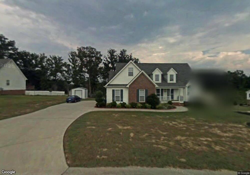
2000 Cluster Dr Dalton, GA 30721
Estimated Value: $312,971 - $353,000
3
Beds
2
Baths
1,900
Sq Ft
$175/Sq Ft
Est. Value
About This Home
This home is located at 2000 Cluster Dr, Dalton, GA 30721 and is currently estimated at $332,243, approximately $174 per square foot. 2000 Cluster Dr is a home located in Whitfield County with nearby schools including New Hope Elementary School, New Hope Middle School, and Northwest Whitfield County High School.
Ownership History
Date
Name
Owned For
Owner Type
Purchase Details
Closed on
Feb 27, 2017
Sold by
Brashears Gretta K
Bought by
Panis Gretta Kay and Panis Phillipp Hans
Current Estimated Value
Purchase Details
Closed on
Sep 9, 2004
Sold by
Robertson Kenneth A
Bought by
Brashears Gretta K
Purchase Details
Closed on
Jan 7, 2003
Sold by
Vineyard William T
Bought by
Robertson Kenneth A
Create a Home Valuation Report for This Property
The Home Valuation Report is an in-depth analysis detailing your home's value as well as a comparison with similar homes in the area
Home Values in the Area
Average Home Value in this Area
Purchase History
| Date | Buyer | Sale Price | Title Company |
|---|---|---|---|
| Panis Gretta Kay | -- | -- | |
| Brashears Gretta K | $179,900 | -- | |
| Robertson Kenneth A | -- | -- |
Source: Public Records
Tax History
| Year | Tax Paid | Tax Assessment Tax Assessment Total Assessment is a certain percentage of the fair market value that is determined by local assessors to be the total taxable value of land and additions on the property. | Land | Improvement |
|---|---|---|---|---|
| 2025 | $232 | $113,511 | $16,000 | $97,511 |
| 2024 | $232 | $113,511 | $16,000 | $97,511 |
| 2023 | $854 | $75,665 | $7,350 | $68,315 |
| 2022 | $414 | $58,551 | $7,350 | $51,201 |
| 2021 | $414 | $58,551 | $7,350 | $51,201 |
| 2020 | $1,514 | $58,551 | $7,350 | $51,201 |
| 2019 | $1,831 | $68,151 | $7,350 | $60,801 |
| 2018 | $1,855 | $68,151 | $7,350 | $60,801 |
| 2017 | $1,855 | $68,151 | $7,350 | $60,801 |
| 2016 | $1,662 | $63,699 | $8,400 | $55,299 |
| 2014 | $1,516 | $63,699 | $8,400 | $55,299 |
| 2013 | -- | $63,699 | $8,400 | $55,299 |
Source: Public Records
Map
Nearby Homes
- 502 Concord Dr
- 359 Annie Ln
- 0 Silhouette Way
- 00 Waring Rd NW
- 162 Artimis Dr
- 190 Artimis Dr
- 3201 Maple Grove Dr NW
- 213 Oakstone Way
- 316 Maple Grove Rd NW
- 609 Cherokee Trail NW
- 1626 Lagenia Ct
- 3450 Misty Meadows Dr NW
- 1056 Durgan Place
- 2003 Ashley Ln
- 179 Treadstone Dr
- 629 W Broadacre Rd NW
- 228 Vineyard Dr
- 1433 Dustin Dr
- 463 Treadstone Dr
- 3262 Rolling Meadows Rd NW
Your Personal Tour Guide
Ask me questions while you tour the home.