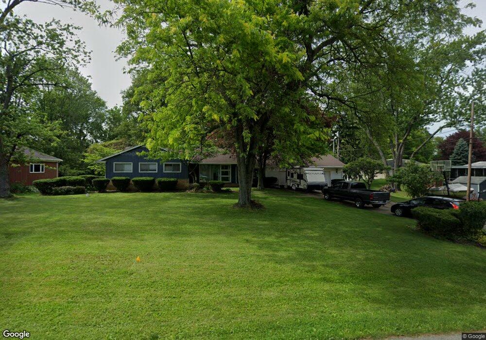
2000 Elm Dr Fremont, OH 43420
Estimated Value: $225,000 - $252,000
3
Beds
3
Baths
1,720
Sq Ft
$140/Sq Ft
Est. Value
About This Home
This home is located at 2000 Elm Dr, Fremont, OH 43420 and is currently estimated at $240,886, approximately $140 per square foot. 2000 Elm Dr is a home located in Sandusky County with nearby schools including Fremont Ross High School, St. Joseph School, and St. Ann Catholic School.
Ownership History
Date
Name
Owned For
Owner Type
Purchase Details
Closed on
Jan 23, 2003
Sold by
Jaquette Arthur B
Bought by
Amposta Alvin L
Current Estimated Value
Home Financials for this Owner
Home Financials are based on the most recent Mortgage that was taken out on this home.
Original Mortgage
$145,850
Interest Rate
6.13%
Mortgage Type
VA
Purchase Details
Closed on
Jun 1, 1989
Sold by
Amposta Alvin L
Bought by
Amposta Alvin L
Purchase Details
Closed on
Sep 1, 1984
Bought by
Amposta Alvin L
Create a Home Valuation Report for This Property
The Home Valuation Report is an in-depth analysis detailing your home's value as well as a comparison with similar homes in the area
Home Values in the Area
Average Home Value in this Area
Purchase History
| Date | Buyer | Sale Price | Title Company |
|---|---|---|---|
| Amposta Alvin L | $143,000 | -- | |
| Amposta Alvin L | $95,000 | -- | |
| Amposta Alvin L | $91,000 | -- |
Source: Public Records
Mortgage History
| Date | Status | Borrower | Loan Amount |
|---|---|---|---|
| Closed | Amposta Alvin L | $145,850 |
Source: Public Records
Tax History Compared to Growth
Tax History
| Year | Tax Paid | Tax Assessment Tax Assessment Total Assessment is a certain percentage of the fair market value that is determined by local assessors to be the total taxable value of land and additions on the property. | Land | Improvement |
|---|---|---|---|---|
| 2024 | $2,534 | $65,210 | $11,970 | $53,240 |
| 2023 | $2,534 | $55,720 | $10,220 | $45,500 |
| 2022 | $2,313 | $55,720 | $10,220 | $45,500 |
| 2021 | $2,383 | $55,720 | $10,220 | $45,500 |
| 2020 | $2,005 | $45,960 | $10,220 | $35,740 |
| 2019 | $2,003 | $45,960 | $10,220 | $35,740 |
| 2018 | $1,854 | $45,960 | $10,220 | $35,740 |
| 2017 | $1,760 | $41,300 | $10,220 | $31,080 |
| 2016 | $1,543 | $41,300 | $10,220 | $31,080 |
| 2015 | $1,518 | $41,300 | $10,220 | $31,080 |
| 2014 | $1,619 | $42,180 | $9,870 | $32,310 |
| 2013 | $1,584 | $42,180 | $9,870 | $32,310 |
Source: Public Records
Map
Nearby Homes
- 1719 Buckland Ave
- 2484 Buckland Ave
- 1485 Autumn Woods Dr
- 1611 Mcpherson Blvd
- 1420 Center St
- 1028 June St
- 515 Everett Rd
- 10 Meadowbrook Dr
- 10 Meadowbrook Ln
- 64 River Run Dr Unit J
- 1013 Whittlesey St
- 1015 Hayes Ave
- 2119 Lake St
- 905 Twinn St
- 1037 Buckland Ave
- 815 South St
- 616 S Wood St
- 625 Bush Place
- 1009 Napoleon St
- 135 Briarwood Cir