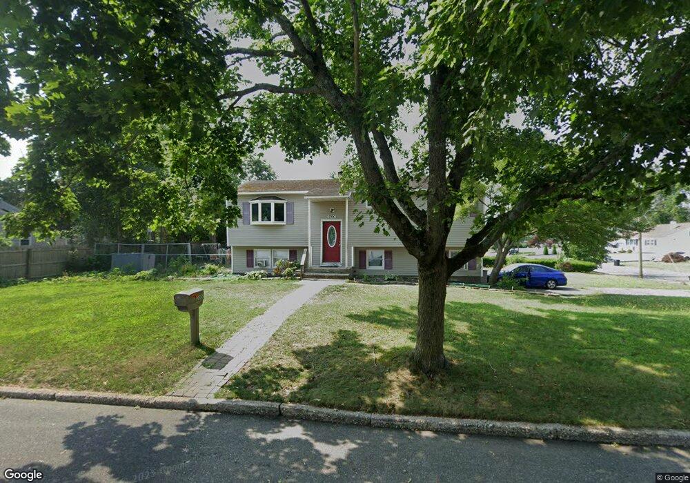
2000 Fire Ave Medford, NY 11763
Estimated Value: $452,000 - $554,000
3
Beds
1
Bath
1,291
Sq Ft
$399/Sq Ft
Est. Value
About This Home
This home is located at 2000 Fire Ave, Medford, NY 11763 and is currently estimated at $515,056, approximately $398 per square foot. 2000 Fire Ave is a home located in Suffolk County with nearby schools including Patchogue-Medford High School.
Ownership History
Date
Name
Owned For
Owner Type
Purchase Details
Closed on
Sep 26, 2001
Sold by
Earl Linda and Blair Linda
Bought by
Skidmore Patricia
Current Estimated Value
Home Financials for this Owner
Home Financials are based on the most recent Mortgage that was taken out on this home.
Original Mortgage
$120,050
Outstanding Balance
$46,752
Interest Rate
6.82%
Mortgage Type
FHA
Estimated Equity
$468,305
Create a Home Valuation Report for This Property
The Home Valuation Report is an in-depth analysis detailing your home's value as well as a comparison with similar homes in the area
Home Values in the Area
Average Home Value in this Area
Purchase History
| Date | Buyer | Sale Price | Title Company |
|---|---|---|---|
| Skidmore Patricia | $122,000 | -- |
Source: Public Records
Mortgage History
| Date | Status | Borrower | Loan Amount |
|---|---|---|---|
| Open | Skidmore Patricia | $120,050 |
Source: Public Records
Tax History
| Year | Tax Paid | Tax Assessment Tax Assessment Total Assessment is a certain percentage of the fair market value that is determined by local assessors to be the total taxable value of land and additions on the property. | Land | Improvement |
|---|---|---|---|---|
| 2024 | $10,400 | $2,375 | $160 | $2,215 |
| 2023 | $10,400 | $2,375 | $160 | $2,215 |
| 2022 | $9,317 | $2,375 | $160 | $2,215 |
| 2021 | $9,317 | $2,375 | $160 | $2,215 |
| 2020 | $9,565 | $2,375 | $160 | $2,215 |
| 2019 | $9,565 | $0 | $0 | $0 |
| 2018 | $9,022 | $2,375 | $160 | $2,215 |
| 2017 | $9,022 | $2,375 | $160 | $2,215 |
| 2016 | $8,844 | $2,375 | $160 | $2,215 |
| 2015 | -- | $2,375 | $160 | $2,215 |
| 2014 | -- | $2,375 | $160 | $2,215 |
Source: Public Records
Map
Nearby Homes
- 3106 Devon Ave
- 3107 Chestnut Ave
- 3103 Falcon Ave
- 3019 Sipp Ave
- 3004 New London Ave
- 0 Cedar Ln Unit ONE3556748
- 2914 Connecticut Ave
- 2909 Falcon Ave
- 3011 Maine Ave
- 241 Middle Island Rd
- 2907 Rhode Island Ave
- 2804 Eagle Ave
- 2809 Heather Ave
- 2711 Connecticut Ave
- 0 Cedarhurst Ave
- 37 Locust Ave S
- 39 Locust Ave S
- 2700 Falcon Ave
- 57 Middle Island Rd
- 2617 Kane Ave
- 3119 Watchill Ave
- 3200 Watchill Ave
- 2002 Fire Ave
- 3116 Eagle Ave
- 3201 Watch Hill Ave
- 3117 Watchill Ave
- 3201 Watch Hill Ave
- 2103 Fire Ave
- 3203 Watchill Ave
- 1902 Fire Ave
- 3116 Watch Hill Ave
- 3116 Watchill Ave
- 3114 Eagle Ave
- 3202 Watchill Ave
- 3114 Watchill Ave
- 2003 Fire Ave
- 3115 Watchill Ave
- 2100 Fire Ave
- 3112 Eagle Ave
- 3119 Eagle Ave
Your Personal Tour Guide
Ask me questions while you tour the home.