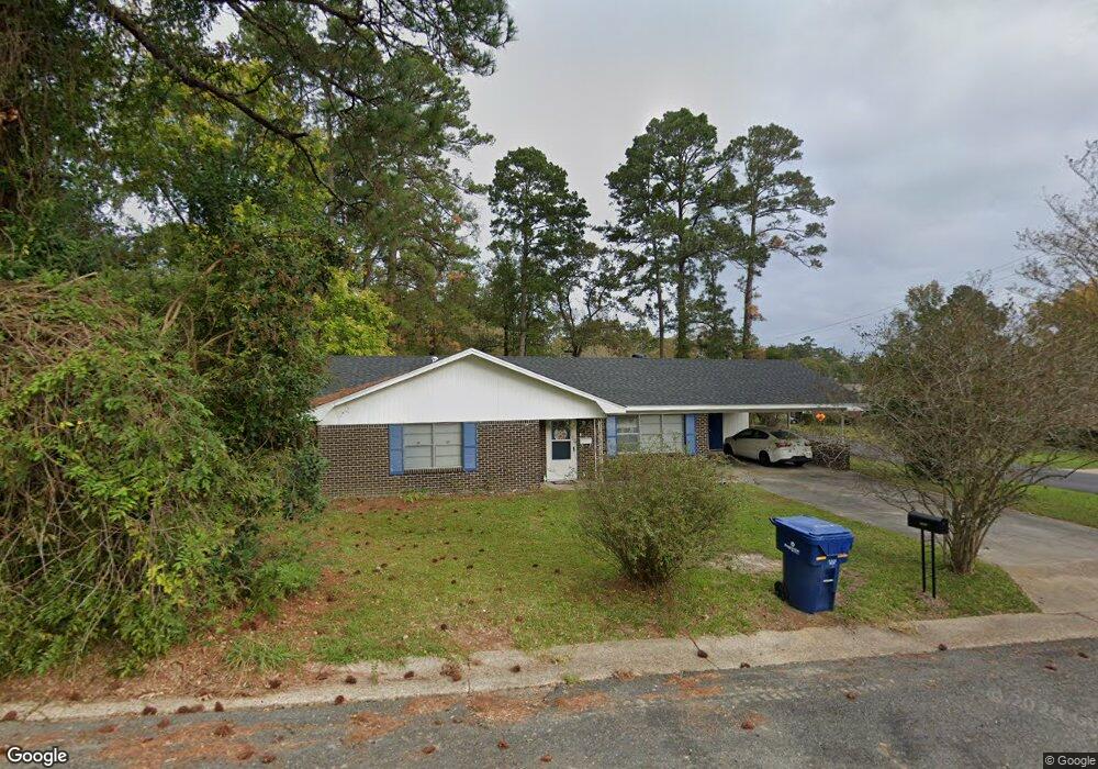
2000 Ginger St Leesville, LA 71446
Estimated Value: $116,973 - $149,000
2
Beds
1
Bath
1,664
Sq Ft
$80/Sq Ft
Est. Value
About This Home
This home is located at 2000 Ginger St, Leesville, LA 71446 and is currently estimated at $132,993, approximately $79 per square foot. 2000 Ginger St is a home located in Vernon Parish with nearby schools including First Assembly Christian Academy, Faith Training Christian Academy Elementary, and Faith Training Christian Academy.
Ownership History
Date
Name
Owned For
Owner Type
Purchase Details
Closed on
Feb 6, 2024
Sold by
Owens Susan Lynn and Hormell Fred William
Bought by
C & A Wells Enterprise Llc
Current Estimated Value
Home Financials for this Owner
Home Financials are based on the most recent Mortgage that was taken out on this home.
Original Mortgage
$83,250
Outstanding Balance
$81,466
Interest Rate
6.66%
Mortgage Type
Credit Line Revolving
Estimated Equity
$51,527
Create a Home Valuation Report for This Property
The Home Valuation Report is an in-depth analysis detailing your home's value as well as a comparison with similar homes in the area
Home Values in the Area
Average Home Value in this Area
Purchase History
| Date | Buyer | Sale Price | Title Company |
|---|---|---|---|
| C & A Wells Enterprise Llc | $40,000 | None Listed On Document |
Source: Public Records
Mortgage History
| Date | Status | Borrower | Loan Amount |
|---|---|---|---|
| Open | C & A Wells Enterprise Llc | $83,250 |
Source: Public Records
Tax History
| Year | Tax Paid | Tax Assessment Tax Assessment Total Assessment is a certain percentage of the fair market value that is determined by local assessors to be the total taxable value of land and additions on the property. | Land | Improvement |
|---|---|---|---|---|
| 2025 | $695 | $7,030 | $660 | $6,370 |
| 2024 | $828 | $7,030 | $660 | $6,370 |
| 2023 | $762 | $6,500 | $660 | $5,840 |
| 2022 | $750 | $6,500 | $660 | $5,840 |
| 2021 | $798 | $6,500 | $660 | $5,840 |
| 2020 | $822 | $6,500 | $660 | $5,840 |
| 2019 | $848 | $6,500 | $660 | $5,840 |
| 2018 | $844 | $6,500 | $660 | $5,840 |
| 2017 | $844 | $6,500 | $660 | $5,840 |
| 2015 | $824 | $6,500 | $660 | $5,840 |
| 2014 | $737 | $6,500 | $660 | $5,840 |
| 2013 | $874 | $6,500 | $660 | $5,840 |
Source: Public Records
Map
Nearby Homes
- 1406 Kings Rd
- 2105 Miriam St
- 1404 Aaron Ave
- 1402 Aaron Ave
- 1101 Marvin Ave
- 1000 John Paul Jones Ave
- 1007 Dennis Ave
- 1122 Anderson Dr
- 1112 Anderson Dr
- 922 Kings Rd
- 912 Milton St
- 917 Kings Rd
- 915 Kings Rd
- 812 John Paul Jones Ave
- 2004 Columbus Cir
- 0 Aaron Milton and Karen Lots Unit 29-1413
- 901 Kings Rd
- 1058 Westwood Dr
- 802 Dennis Ave
- 1301 Oak Dr
- 2006 Ginger St
- 2006 Ginger St Unit Street
- 1407 Merchants St
- 1405 Merchants St
- 1501 Merchants St
- 2007 Ginger St
- 1503 Merchants St
- 2005 Ruth St
- 2010 Ginger St
- 2000 Merritt St
- 2009 Ginger St
- 1505 Merchants St
- 1401 Merchants St
- 2101 Ginger St
- 2000 Ruth St
- 2106 Ginger St
- 2105 Ginger St
- 2108 Merritt St
- 2012 Ginger St
- 2009 Ruth St
Your Personal Tour Guide
Ask me questions while you tour the home.