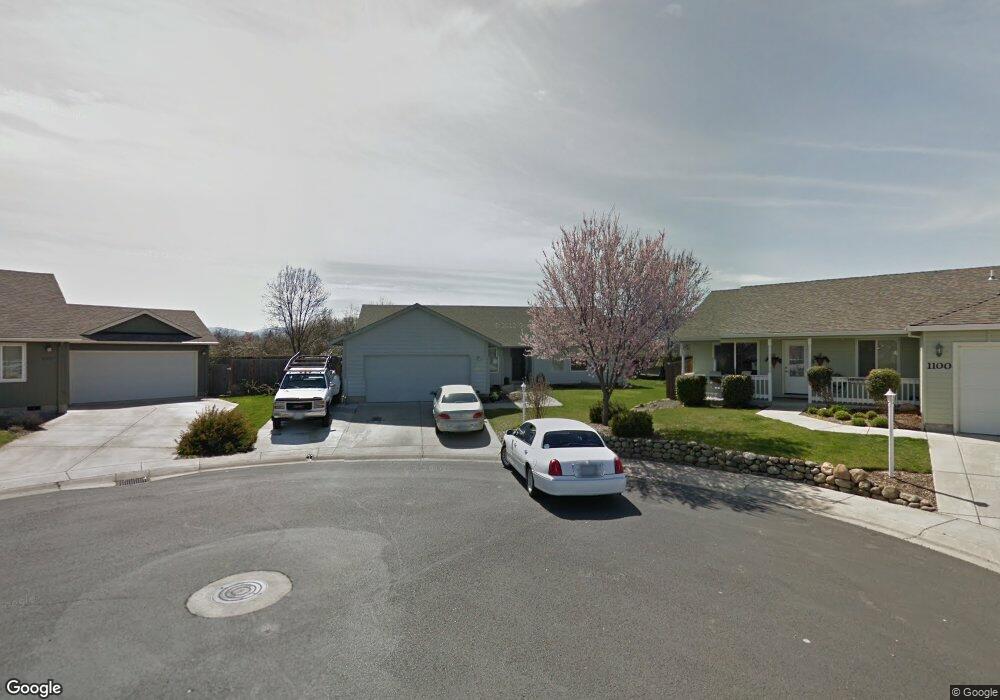
2000 Lara Ln Central Point, OR 97502
Estimated Value: $395,000 - $462,000
4
Beds
2
Baths
1,920
Sq Ft
$221/Sq Ft
Est. Value
About This Home
This home is located at 2000 Lara Ln, Central Point, OR 97502 and is currently estimated at $423,447, approximately $220 per square foot. 2000 Lara Ln is a home located in Jackson County with nearby schools including Jewett Elementary School, Scenic Middle School, and Crater High School.
Ownership History
Date
Name
Owned For
Owner Type
Purchase Details
Closed on
Mar 22, 2017
Sold by
Glenn Tracey
Bought by
Scott Steven H and Scott Camilla A
Current Estimated Value
Home Financials for this Owner
Home Financials are based on the most recent Mortgage that was taken out on this home.
Original Mortgage
$213,750
Interest Rate
3.96%
Mortgage Type
New Conventional
Purchase Details
Closed on
Dec 20, 2001
Sold by
Duncan Development Llc
Bought by
Glenn Tracey
Home Financials for this Owner
Home Financials are based on the most recent Mortgage that was taken out on this home.
Original Mortgage
$127,900
Interest Rate
6.51%
Create a Home Valuation Report for This Property
The Home Valuation Report is an in-depth analysis detailing your home's value as well as a comparison with similar homes in the area
Home Values in the Area
Average Home Value in this Area
Purchase History
| Date | Buyer | Sale Price | Title Company |
|---|---|---|---|
| Scott Steven H | $225,000 | First American | |
| Glenn Tracey | $159,900 | Amerititle Inc |
Source: Public Records
Mortgage History
| Date | Status | Borrower | Loan Amount |
|---|---|---|---|
| Previous Owner | Scott Steven H | $213,750 | |
| Previous Owner | Glenn Tracey | $127,900 |
Source: Public Records
Tax History Compared to Growth
Tax History
| Year | Tax Paid | Tax Assessment Tax Assessment Total Assessment is a certain percentage of the fair market value that is determined by local assessors to be the total taxable value of land and additions on the property. | Land | Improvement |
|---|---|---|---|---|
| 2025 | $3,885 | $233,690 | $81,350 | $152,340 |
| 2024 | $3,885 | $226,890 | $78,980 | $147,910 |
| 2023 | $3,760 | $220,290 | $76,680 | $143,610 |
| 2022 | $3,673 | $220,290 | $76,680 | $143,610 |
| 2021 | $3,568 | $213,880 | $74,450 | $139,430 |
| 2020 | $3,464 | $207,660 | $72,290 | $135,370 |
| 2019 | $3,379 | $195,750 | $68,150 | $127,600 |
| 2018 | $3,276 | $190,050 | $66,170 | $123,880 |
| 2017 | $3,193 | $190,050 | $66,170 | $123,880 |
| 2016 | $3,100 | $179,150 | $62,370 | $116,780 |
| 2015 | $2,970 | $179,150 | $62,370 | $116,780 |
| 2014 | $2,850 | $168,880 | $58,790 | $110,090 |
Source: Public Records
Map
Nearby Homes
- 4922 Gebhard Rd
- 1409 Twin Rocks Dr
- 2225 New Haven Dr
- 4730 Gebhard Rd
- 4726 Gebhard Rd
- 1121 Annalise St
- 1113 Annalise St
- 2035 Rabun Way
- 446 Beebe Rd
- 705 Mountain Ave
- 2770 Parkwood Village Ln
- 4286 Hamrick Rd
- 4595 Table Rock Rd
- 1600 E Pine St
- 1840 E Pine St
- 0 Peninger Rd
- 225 Wilson Rd
- 201 Orchardview Cir
- 230 Peninger Rd
- 4399 Table Rock Rd
- 1100 Twin Rocks Dr
- 2004 Lara Ln
- 1104 Twin Rocks Dr
- 2008 Lara Ln
- 1206 Twin Rocks Dr
- 1103 Twin Rocks Dr
- 2012 Lara Ln
- 1205 Twin Rocks Dr
- 1210 Twin Rocks Dr
- 2016 Lara Ln
- 1209 Twin Rocks Dr
- 1108 Pheasant Way
- 1218 Pheasant Way
- 1214 Twin Rocks Dr
- 1213 Twin Rocks Dr
- 2020 Lara Ln
- 1222 Pheasant Way
- 1218 Twin Rocks Dr
- 1217 Twin Rocks Dr
- 1226 Pheasant Way