2000 Laurel Oak Dr Howell, MI 48855
Estimated Value: $368,000 - $407,000
3
Beds
4
Baths
1,783
Sq Ft
$214/Sq Ft
Est. Value
About This Home
This home is located at 2000 Laurel Oak Dr, Howell, MI 48855 and is currently estimated at $381,945, approximately $214 per square foot. 2000 Laurel Oak Dr is a home located in Livingston County with nearby schools including Ruahmah J. Hutchings Elementary, Parker Middle School, and Howell High School.
Ownership History
Date
Name
Owned For
Owner Type
Purchase Details
Closed on
Sep 17, 2010
Sold by
Degrendel Charles and Degrendel Laura
Bought by
Daugard Shannon M
Current Estimated Value
Purchase Details
Closed on
Mar 1, 2010
Sold by
Degrendel Charles and Degrendel Lasura
Bought by
Degrendel Charles
Purchase Details
Closed on
Feb 6, 2004
Sold by
Degrendel Charles
Bought by
Degrendel Charles and Degrendel Laura
Purchase Details
Closed on
May 20, 2003
Sold by
Slobin Robert P and Slobin Anne M
Bought by
Degrendel Charles
Purchase Details
Closed on
Jul 21, 2000
Sold by
Pinnacle Enterprise Llc
Bought by
Slobin Robert P and Slobin Anne M
Home Financials for this Owner
Home Financials are based on the most recent Mortgage that was taken out on this home.
Original Mortgage
$140,000
Interest Rate
8.19%
Purchase Details
Closed on
Nov 12, 1999
Sold by
M & 59 Inc
Bought by
Pinnacle Enterprise Llc
Create a Home Valuation Report for This Property
The Home Valuation Report is an in-depth analysis detailing your home's value as well as a comparison with similar homes in the area
Home Values in the Area
Average Home Value in this Area
Purchase History
| Date | Buyer | Sale Price | Title Company |
|---|---|---|---|
| Daugard Shannon M | $150,000 | -- | |
| Degrendel Charles | -- | -- | |
| Degrendel Charles | -- | -- | |
| Degrendel Charles | $235,000 | Metropolitan Title Co | |
| Slobin Robert P | $191,258 | American Title Co | |
| Pinnacle Enterprise Llc | $80,000 | -- |
Source: Public Records
Mortgage History
| Date | Status | Borrower | Loan Amount |
|---|---|---|---|
| Previous Owner | Slobin Robert P | $140,000 |
Source: Public Records
Tax History
| Year | Tax Paid | Tax Assessment Tax Assessment Total Assessment is a certain percentage of the fair market value that is determined by local assessors to be the total taxable value of land and additions on the property. | Land | Improvement |
|---|---|---|---|---|
| 2025 | $1,587 | $171,100 | $0 | $0 |
| 2024 | $1,542 | $166,900 | $0 | $0 |
| 2023 | $1,473 | $149,800 | $0 | $0 |
| 2022 | $2,064 | $126,600 | $0 | $0 |
| 2020 | $2,064 | $126,600 | $0 | $0 |
| 2019 | $2,035 | $116,100 | $0 | $0 |
| 2018 | $2,010 | $106,400 | $0 | $0 |
| 2017 | $1,983 | $103,000 | $0 | $0 |
| 2016 | $1,973 | $99,000 | $0 | $0 |
| 2014 | $1,834 | $83,700 | $0 | $0 |
| 2012 | $1,834 | $77,300 | $0 | $0 |
Source: Public Records
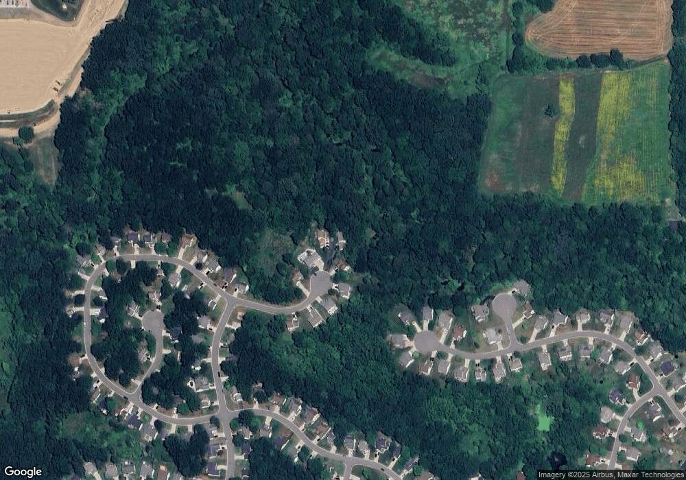
Map
Nearby Homes
- 2430 Hickory Circle Dr Unit 103
- 2511 Kerria Dr Unit 42
- 2643 Kerria Dr Unit 65
- 1570 Princewood Blvd
- 0 Eager Unit 293099
- 2830 Bonny Brook Dr Unit 3
- 1315 Central Ave
- 487 Cannonade Loop
- 559 Cannonade Loop
- 499 Cannonade Loop
- 607 Cannonade Loop
- 475 Cannonade Loop
- 571 Cannonade Loop
- VACANT LOT Thompson Shore Dr
- 2525 Fisher Rd
- 00 Pineway Trail
- 2420 Fisher Rd
- 326 Victoria Park Dr Unit 38
- TBD Cannonade Loop
- 366 Dorchester Dr
- 2017 Laurel Oak Dr Unit 245
- 2016 Laurel Oak Dr Unit 248
- 2025 Laurel Oak Dr Unit 244
- 2030 Laurel Oak Dr Unit 249
- 2033 Laurel Oak Dr Unit 243
- 2041 Laurel Oak Dr Unit 242
- 239 Ashley Cir
- 2505 Birchwood Dr Unit 209
- 2049 Laurel Oak Dr
- 2517 Birchwood Dr Unit 208
- 2500 Birchwood Dr Unit 210
- 2078 Laurel Oak Dr
- 2086 Laurel Oak Dr Unit 276
- 2529 Birchwood Dr Unit 207
- 2512 Birchwood Dr Unit 211
- 2094 Laurel Oak Dr
- 2541 Birchwood Dr Unit 206
- 2102 Laurel Oak Dr Unit 278
- 1911 Ashley Cir Unit 204
- 2524 Birchwood Dr
Your Personal Tour Guide
Ask me questions while you tour the home.