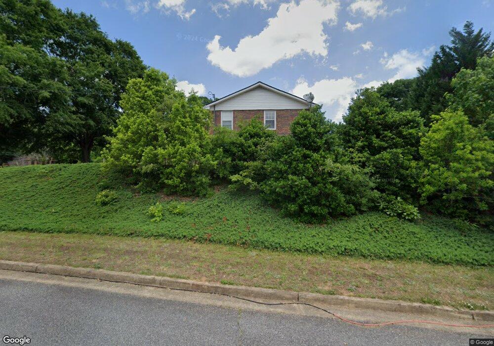
2000 Lower Union Hill Rd Canton, GA 30115
Union Hill NeighborhoodEstimated Value: $512,000 - $630,000
5
Beds
4
Baths
3,478
Sq Ft
$168/Sq Ft
Est. Value
About This Home
This home is located at 2000 Lower Union Hill Rd, Canton, GA 30115 and is currently estimated at $585,164, approximately $168 per square foot. 2000 Lower Union Hill Rd is a home located in Cherokee County with nearby schools including Avery Elementary School, Creekland Middle School, and Creekview High School.
Ownership History
Date
Name
Owned For
Owner Type
Purchase Details
Closed on
May 16, 2005
Sold by
Ingham Douglas N and Ingham Marcia
Bought by
Cornelius Mark E and Cornelius Rashelle
Current Estimated Value
Home Financials for this Owner
Home Financials are based on the most recent Mortgage that was taken out on this home.
Original Mortgage
$50,900
Interest Rate
5.8%
Mortgage Type
Stand Alone Second
Purchase Details
Closed on
Mar 5, 1999
Sold by
Sheehan Michael Kennedy
Bought by
Ingham Douglas N and Ingham Marcia
Home Financials for this Owner
Home Financials are based on the most recent Mortgage that was taken out on this home.
Original Mortgage
$129,600
Interest Rate
6.74%
Mortgage Type
New Conventional
Create a Home Valuation Report for This Property
The Home Valuation Report is an in-depth analysis detailing your home's value as well as a comparison with similar homes in the area
Home Values in the Area
Average Home Value in this Area
Purchase History
| Date | Buyer | Sale Price | Title Company |
|---|---|---|---|
| Cornelius Mark E | $254,500 | -- | |
| Ingham Douglas N | $250,000 | -- |
Source: Public Records
Mortgage History
| Date | Status | Borrower | Loan Amount |
|---|---|---|---|
| Closed | Cornelius Mark E | $50,900 | |
| Open | Cornelius Mark E | $203,600 | |
| Closed | Cornelius Mark E | $203,600 | |
| Closed | Cornelius Mark E | $50,900 | |
| Previous Owner | Ingham Douglas N | $129,600 |
Source: Public Records
Tax History
| Year | Tax Paid | Tax Assessment Tax Assessment Total Assessment is a certain percentage of the fair market value that is determined by local assessors to be the total taxable value of land and additions on the property. | Land | Improvement |
|---|---|---|---|---|
| 2025 | $3,660 | $150,768 | $52,000 | $98,768 |
| 2024 | $3,650 | $151,776 | $52,000 | $99,776 |
| 2023 | $3,192 | $150,696 | $52,000 | $98,696 |
| 2022 | $2,878 | $113,496 | $30,600 | $82,896 |
| 2021 | $2,911 | $104,896 | $30,600 | $74,296 |
| 2020 | $2,886 | $103,776 | $30,600 | $73,176 |
| 2019 | $2,602 | $93,800 | $30,600 | $63,200 |
| 2018 | $2,534 | $90,920 | $30,600 | $60,320 |
| 2017 | $2,493 | $222,000 | $30,600 | $58,200 |
| 2016 | $2,631 | $231,700 | $30,600 | $62,080 |
| 2015 | $2,671 | $232,900 | $30,600 | $62,560 |
| 2014 | $2,435 | $212,400 | $30,600 | $54,360 |
Source: Public Records
Map
Nearby Homes
- 109 Hawks Bend
- 1155 Orchid Way
- 503 Ernest Ct
- 406 Addie Ln
- 4882 Sugar Pike Rd
- 111 Brannon Dr
- 162 Carmichael Dr
- 454 Carmichael Cir
- 158 Carmichael Dr
- 1020 Lower Union Hill Rd
- 462 Carmichael Cir
- 128 Long Shadows Dr
- 124 Long Shadows Dr
- 451 Carmichael Cir
- 6730 Union Hill Rd
- 487 Carmichael Cir
- 517 Hayes Ln
- 6125 Union Hill Rd
- 218 Carmichael Dr
- 226 Carmichael Dr
- 2030 Lower Union Hill Rd
- 102 Hawks Bend Unit 9
- 102 Hawks Bend
- 390 Lower Union Hill Rd
- 360 Lower Union Hill Rd
- 103 Hawks Bend
- 1954 Lower Union Hill Rd
- 100 Stephens Farm Dr
- 135 Hawks Bend
- 101 Stephens Farm Dr
- 102 Stephens Farm Dr
- 105 Hawks Bend
- 105 Hawks Bend
- 2080 Lower Union Hill Rd
- 1894 Lower Union Hill Rd
- 1885 Lower Union Hill Rd
- 103 Stephens Farm Dr
- 103 Stephens Farm Dr Unit 5
- 104 Stephens Farm Dr
- 1881 Lower Union Hill Rd
Your Personal Tour Guide
Ask me questions while you tour the home.