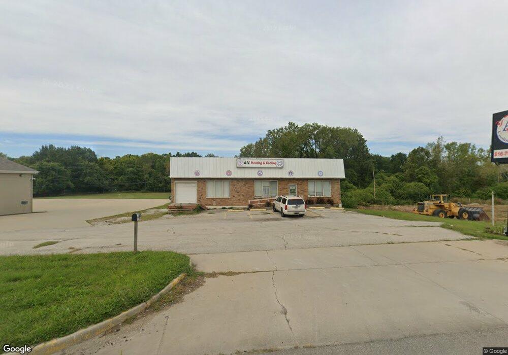
2000 S State Route 291 Independence, MO 64057
Queen City Neighborhood
Studio
--
Bath
5,200
Sq Ft
20,691
Sq Ft Lot
About This Home
This home is located at 2000 S State Route 291, Independence, MO 64057. 2000 S State Route 291 is a home located in Jackson County with nearby schools including Glendale Elementary School, Bridger Middle School, and Bingham Middle School.
Ownership History
Date
Name
Owned For
Owner Type
Purchase Details
Closed on
Nov 10, 2016
Sold by
Kornis George and Kornis Michael G
Bought by
Av Heating & Cooling Llc
Purchase Details
Closed on
Sep 10, 2016
Sold by
Greg A Kornis Trust
Bought by
Av Heating & Cooling Llc
Home Financials for this Owner
Home Financials are based on the most recent Mortgage that was taken out on this home.
Original Mortgage
$117,000
Interest Rate
3.42%
Mortgage Type
Future Advance Clause Open End Mortgage
Purchase Details
Closed on
Mar 15, 2005
Sold by
Kornis Peggy
Bought by
Kornis Greg and Kornis Ellen
Purchase Details
Closed on
Sep 10, 1997
Sold by
Kornis Greg A and Kornis Ellen
Bought by
Kornis Greg A and Kornis Ellen Rose
Create a Home Valuation Report for This Property
The Home Valuation Report is an in-depth analysis detailing your home's value as well as a comparison with similar homes in the area
Home Values in the Area
Average Home Value in this Area
Purchase History
| Date | Buyer | Sale Price | Title Company |
|---|---|---|---|
| Av Heating & Cooling Llc | -- | Chicago Title | |
| Av Heating & Cooling Llc | -- | Chicago Title | |
| Kornis Greg | -- | -- | |
| Kornis Greg A | -- | -- |
Source: Public Records
Mortgage History
| Date | Status | Borrower | Loan Amount |
|---|---|---|---|
| Previous Owner | Av Heating & Cooling Llc | $117,000 |
Source: Public Records
Tax History
| Year | Tax Paid | Tax Assessment Tax Assessment Total Assessment is a certain percentage of the fair market value that is determined by local assessors to be the total taxable value of land and additions on the property. | Land | Improvement |
|---|---|---|---|---|
| 2025 | $4,685 | $36,352 | $36,352 | -- |
| 2024 | $4,596 | $56,000 | $33,376 | $22,624 |
| 2023 | $4,596 | $56,000 | $33,376 | $22,624 |
| 2022 | $3,953 | $44,800 | $26,704 | $18,096 |
| 2021 | $3,952 | $44,800 | $26,704 | $18,096 |
| 2020 | $4,040 | $44,704 | $26,704 | $18,000 |
| 2019 | $3,985 | $44,704 | $26,704 | $18,000 |
| 2018 | $3,605 | $38,892 | $17,804 | $21,088 |
| 2017 | $3,605 | $38,892 | $17,804 | $21,088 |
| 2016 | $3,176 | $33,983 | $13,695 | $20,288 |
Source: Public Records
Map
Nearby Homes
- 2018 James Downey Rd
- 2100 James Downey Rd
- 1909 S Ellison Way
- 16805 Sunset Dr
- 2100 & 2105 S Ellison Way
- 1800 S M 291 Hwy
- 16208 E Sea Ave
- 16305 E 17th St S
- 5218 Indiana Ave
- 17616 E 19th Street Ct S
- 1704 Highland Dr
- 1602 S Queen Ridge Way
- 2417 S Ellison Way
- 1910 S Lees Summit Rd
- 1225 Berry Rd
- 2608 Baker Rd
- 17504 E R D Mize Rd
- 18008 E 25th Street Ct S
- 1124 S Haden St
- 17813 E 26th St S
- 2001 S State Route 291
- 2036 James Downey Rd
- 2030 James Downey Rd
- 2006 James Downey Rd
- 2024 James Downey Rd
- 2012 James Downey Rd
- 2000 James Downey Rd
- 1815 S Ellison Way
- 1934 James Downey Rd
- 2118 James Downey Rd
- 1905 S Ellison Way
- 2025 James Downey Rd
- 2019 James Downey Rd
- 2015 James Downey Rd
- 1922 James Downey Rd
- 1811 S Ellison Way
- 2031 James Downey Rd
- 2007 James Downey Rd
- 1901 S Ellison Way
- 2001 James Downey Rd
Your Personal Tour Guide
Ask me questions while you tour the home.