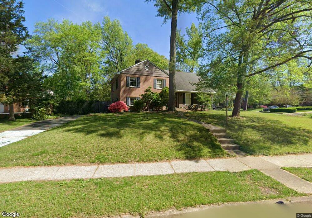
2000 Stirrup Ln Alexandria, VA 22308
Fort Hunt NeighborhoodEstimated Value: $917,643 - $1,044,000
4
Beds
3
Baths
1,698
Sq Ft
$586/Sq Ft
Est. Value
About This Home
This home is located at 2000 Stirrup Ln, Alexandria, VA 22308 and is currently estimated at $995,661, approximately $586 per square foot. 2000 Stirrup Ln is a home located in Fairfax County with nearby schools including Stratford Landing Elementary School, Sandburg Middle, and West Potomac High School.
Ownership History
Date
Name
Owned For
Owner Type
Purchase Details
Closed on
Nov 29, 2001
Sold by
Eurenius Carl G
Bought by
Scherer Robert
Current Estimated Value
Home Financials for this Owner
Home Financials are based on the most recent Mortgage that was taken out on this home.
Original Mortgage
$315,600
Outstanding Balance
$124,145
Interest Rate
6.66%
Estimated Equity
$871,516
Purchase Details
Closed on
Feb 25, 1999
Sold by
Est Of Mary J Freburg
Bought by
Eurenius Carl G
Home Financials for this Owner
Home Financials are based on the most recent Mortgage that was taken out on this home.
Original Mortgage
$200,000
Interest Rate
6.78%
Create a Home Valuation Report for This Property
The Home Valuation Report is an in-depth analysis detailing your home's value as well as a comparison with similar homes in the area
Home Values in the Area
Average Home Value in this Area
Purchase History
| Date | Buyer | Sale Price | Title Company |
|---|---|---|---|
| Scherer Robert | $394,500 | -- | |
| Eurenius Carl G | $250,000 | -- |
Source: Public Records
Mortgage History
| Date | Status | Borrower | Loan Amount |
|---|---|---|---|
| Open | Scherer Robert | $315,600 | |
| Previous Owner | Eurenius Carl G | $200,000 |
Source: Public Records
Tax History Compared to Growth
Tax History
| Year | Tax Paid | Tax Assessment Tax Assessment Total Assessment is a certain percentage of the fair market value that is determined by local assessors to be the total taxable value of land and additions on the property. | Land | Improvement |
|---|---|---|---|---|
| 2025 | $10,294 | $918,280 | $377,000 | $541,280 |
| 2024 | $10,294 | $840,660 | $362,000 | $478,660 |
| 2023 | $9,192 | $771,140 | $332,000 | $439,140 |
| 2022 | $9,448 | $784,720 | $332,000 | $452,720 |
| 2021 | $8,325 | $675,350 | $282,000 | $393,350 |
| 2020 | $7,998 | $644,550 | $278,000 | $366,550 |
| 2019 | $7,991 | $642,640 | $278,000 | $364,640 |
| 2018 | $7,565 | $657,830 | $278,000 | $379,830 |
| 2017 | $7,685 | $632,220 | $267,000 | $365,220 |
| 2016 | $7,256 | $596,550 | $252,000 | $344,550 |
| 2015 | $6,789 | $577,430 | $239,000 | $338,430 |
| 2014 | $7,118 | $608,240 | $252,000 | $356,240 |
Source: Public Records
Map
Nearby Homes
- 8518 Riverside Rd
- 8601 Buckboard Dr
- 8628 Plymouth Rd
- 2410 Ryegate Ln
- Hampton II Plan at Collingwood Chase
- 8260 Colling Manor Ct
- 2408 William And Mary Dr
- 1700 Collingwood Rd
- 8408 Conover Place
- 8281 Colling Manor Ct
- 8305 Fort Hunt Rd
- 8280 Colling Manor Ct
- 8276 Colling Manor Ct
- 8264 Colling Manor Ct
- 8127 Stacey Rd
- 8602 Cushman Place
- 8123 Stacey Rd
- 8119 Stacey Rd
- 8126 Stacey Rd
- 2308 Creek Dr
- 8430 Stable Dr
- 2004 Stirrup Ln
- 8429 Sulky Ct
- 2001 Stirrup Ln
- 8428 Stable Dr
- 1914 Stirrup Ln
- 2003 Stirrup Ln
- 8427 Sulky Ct
- 8429 Stable Dr
- 2005 Stirrup Ln
- 1915 Stirrup Ln
- 8502 Stable Dr
- 8426 Stable Dr
- 8427 Stable Dr
- 2100 Stirrup Ln
- 1912 Stirrup Ln
- 2007 Stirrup Ln
- 8425 Sulky Ct
- 8428 Sulky Ct
- 8503 Stable Dr