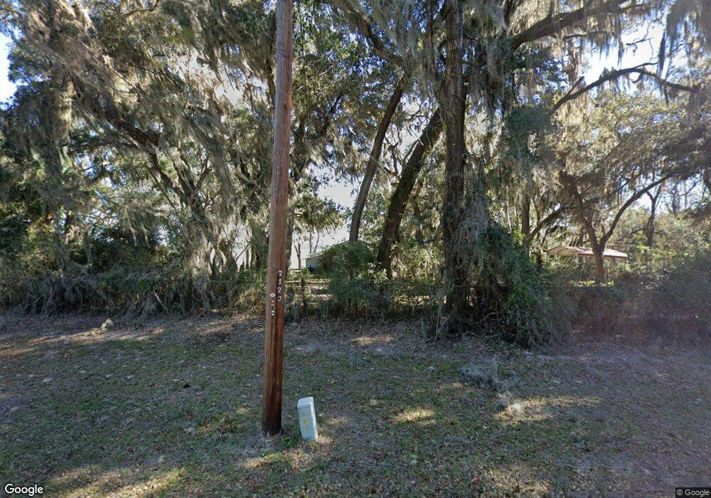
2000 Susie Baker Rd NE Townsend, GA 31331
Crescent NeighborhoodEstimated Value: $213,000 - $309,000
3
Beds
1
Bath
1,395
Sq Ft
$194/Sq Ft
Est. Value
About This Home
This home is located at 2000 Susie Baker Rd NE, Townsend, GA 31331 and is currently estimated at $271,097, approximately $194 per square foot. 2000 Susie Baker Rd NE is a home located in McIntosh County with nearby schools including Todd Grant Elementary School, McIntosh County Middle School, and McIntosh County Academy.
Ownership History
Date
Name
Owned For
Owner Type
Purchase Details
Closed on
May 26, 2016
Sold by
Mccarn Gene Ross
Bought by
Mccarn Gene Ross and Mccarn Jennifer Clare
Current Estimated Value
Purchase Details
Closed on
May 4, 2010
Sold by
Hunter Charlotte A
Bought by
Harrell Wallace E
Purchase Details
Closed on
Apr 11, 2007
Sold by
Hunter Conway W
Bought by
Hunter Charlotte A
Purchase Details
Closed on
Oct 17, 1997
Sold by
Fischette Michael
Bought by
Fischette Nell D
Create a Home Valuation Report for This Property
The Home Valuation Report is an in-depth analysis detailing your home's value as well as a comparison with similar homes in the area
Home Values in the Area
Average Home Value in this Area
Purchase History
| Date | Buyer | Sale Price | Title Company |
|---|---|---|---|
| Mccarn Gene Ross | -- | -- | |
| Harrell Wallace E | $180,000 | -- | |
| Hunter Charlotte A | -- | -- | |
| Fischette Nell D | -- | -- |
Source: Public Records
Tax History Compared to Growth
Tax History
| Year | Tax Paid | Tax Assessment Tax Assessment Total Assessment is a certain percentage of the fair market value that is determined by local assessors to be the total taxable value of land and additions on the property. | Land | Improvement |
|---|---|---|---|---|
| 2024 | $2,724 | $92,688 | $29,600 | $63,088 |
| 2023 | $2,590 | $87,576 | $27,080 | $60,496 |
| 2022 | $2,330 | $78,216 | $26,840 | $51,376 |
| 2021 | $1,773 | $66,736 | $26,840 | $39,896 |
| 2020 | $2,004 | $65,740 | $26,840 | $38,900 |
| 2019 | $1,846 | $63,736 | $26,840 | $36,896 |
| 2018 | $1,694 | $63,736 | $26,840 | $36,896 |
| 2017 | $1,826 | $61,016 | $26,840 | $34,176 |
| 2016 | $1,774 | $61,016 | $26,840 | $34,176 |
| 2015 | $1,462 | $50,075 | $23,531 | $26,544 |
| 2014 | $1,671 | $57,823 | $31,278 | $26,544 |
Source: Public Records
Map
Nearby Homes
- 2.5 Acres On Susie Baker Rd NE
- 1304 Old Smokey
- 1334 Azalea Rd NE
- 1042 Edgewater Dr NE
- 1225 NE O'Neal Dr
- 1629 River St NE
- 1262 Sapelo Gardens
- 1156 Marsh Dr NE
- 1303 Marsh Dr NE
- 0000 Ga-99 and Donnelly Rd NE Unit (Tract 3)
- 11.73 Acres On Smith Rd SE
- 3308 Fair Hope Rd NE
- 0 Belle Hammock Rd NE Unit SA341299
- 1443 Gillican Ave NE
- Lot 1 & 2 Faith Dr
- 1334 Emma Ln SE
- 1321 Shell Point Rd NE
- 1106 Shell Point Rd NE
- 2296 Vic Waters Dr SE
- 3558 Belle Hammock Rd NE
- 2164 Susie Baker Rd NE
- 1018 Graystone Rd NE
- 1937 Susie Baker Rd NE
- 2078 Susie Baker Rd NE
- 1903 Susie Baker Rd NE
- 1852 Susie Baker Rd NE
- Tract 6 Susie Baker Rd
- 1810 Susie Baker Rd NE
- 1795 Susie Baker Rd NE
- 2252 Susie Baker Rd NE
- 1761 Susie Baker Rd NE
- 1736 Susie Baker Rd NE
- 1723 Susie Baker Rd NE
- 1695 Susie Baker Rd NE
- 1067 White Bluff Rd NE
- 1675 Susie Baker Rd NE
- 1651 Susie Baker Rd NE
- 1064 Norman Ave NE
- 1639 Susie Baker Rd NE
- 1040 White Bluff Rd NE
