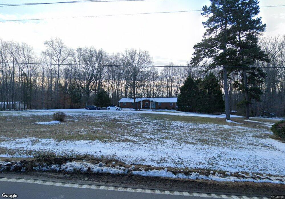
2000 Us Highway 64 E Mocksville, NC 27028
Estimated Value: $300,000 - $342,000
3
Beds
2
Baths
1,518
Sq Ft
$212/Sq Ft
Est. Value
About This Home
This home is located at 2000 Us Highway 64 E, Mocksville, NC 27028 and is currently estimated at $321,635, approximately $211 per square foot. 2000 Us Highway 64 E is a home located in Davie County with nearby schools including Cornatzer Elementary School, William Ellis Middle School, and Davie County High School.
Ownership History
Date
Name
Owned For
Owner Type
Purchase Details
Closed on
Mar 24, 2022
Sold by
Charles French
Bought by
Morrison William Robert
Current Estimated Value
Home Financials for this Owner
Home Financials are based on the most recent Mortgage that was taken out on this home.
Original Mortgage
$254,900
Outstanding Balance
$239,461
Interest Rate
4.42%
Mortgage Type
New Conventional
Estimated Equity
$82,174
Purchase Details
Closed on
Apr 1, 2002
Purchase Details
Closed on
Jan 1, 2001
Purchase Details
Closed on
Feb 1, 1971
Create a Home Valuation Report for This Property
The Home Valuation Report is an in-depth analysis detailing your home's value as well as a comparison with similar homes in the area
Home Values in the Area
Average Home Value in this Area
Purchase History
| Date | Buyer | Sale Price | Title Company |
|---|---|---|---|
| Morrison William Robert | $255,000 | Fleming Tamara A | |
| -- | $154,000 | -- | |
| -- | -- | -- | |
| -- | -- | -- |
Source: Public Records
Mortgage History
| Date | Status | Borrower | Loan Amount |
|---|---|---|---|
| Open | Morrison William Robert | $254,900 |
Source: Public Records
Tax History Compared to Growth
Tax History
| Year | Tax Paid | Tax Assessment Tax Assessment Total Assessment is a certain percentage of the fair market value that is determined by local assessors to be the total taxable value of land and additions on the property. | Land | Improvement |
|---|---|---|---|---|
| 2025 | $1,747 | $253,710 | $40,930 | $212,780 |
| 2024 | $1,349 | $174,570 | $33,220 | $141,350 |
| 2023 | $1,349 | $174,570 | $33,220 | $141,350 |
| 2022 | $1,349 | $174,570 | $33,220 | $141,350 |
| 2021 | $1,349 | $174,570 | $33,220 | $141,350 |
| 2020 | $1,341 | $172,350 | $33,220 | $139,130 |
| 2019 | $1,341 | $172,350 | $33,220 | $139,130 |
| 2018 | $1,341 | $172,350 | $33,220 | $139,130 |
| 2017 | $1,324 | $172,350 | $0 | $0 |
| 2016 | $1,357 | $176,630 | $0 | $0 |
| 2015 | $1,357 | $176,630 | $0 | $0 |
| 2014 | $1,166 | $176,630 | $0 | $0 |
| 2013 | -- | $176,630 | $0 | $0 |
Source: Public Records
Map
Nearby Homes
- 128 Meadowview Rd
- 143 Reserve Dr
- 150 N Lake Louise Dr
- 129 N Lake Louise Dr
- 174 Eric Rd Unit 12
- 174 Eric Rd
- 171 Lakeview Rd
- 822 Turrentine Church Rd
- 599 Cornatzer Rd
- 109 Marbrook Dr
- 00 Everhart Rd
- 118 Hickory Tree Rd
- 916 Deadmon Rd
- 906 Deadmon Rd
- 731 Cornatzer Rd
- 898 Deadmon Rd
- 890 Deadmon Rd
- 882 Deadmon Rd
- 876 Deadmon Rd
- 280 Pete Foster Rd
- 2010 Us Highway 64 E
- 1960 Us Highway 64 E
- 1989 Us Highway 64 E
- 1956 Us-64
- 1956 Us Highway 64 E
- 1967 Us Highway 64 E
- 2042 Us Highway 64 E
- 1938 Us Highway 64 E
- 1925 Us Highway 64 E
- 2068 Us Highway 64 E
- 1918 Us Highway 64 E
- 1917 Us Highway 64 E
- 2078 Us Highway 64 E
- 197 Cedar Ridge Rd
- 137 Sherden Ln
- 187 Cedar Ridge Rd
- 182 Cornatzer Rd
- 1844 Us Highway 64 E
- 175 Cedar Ridge Rd
- 129 Hawthorne Rd