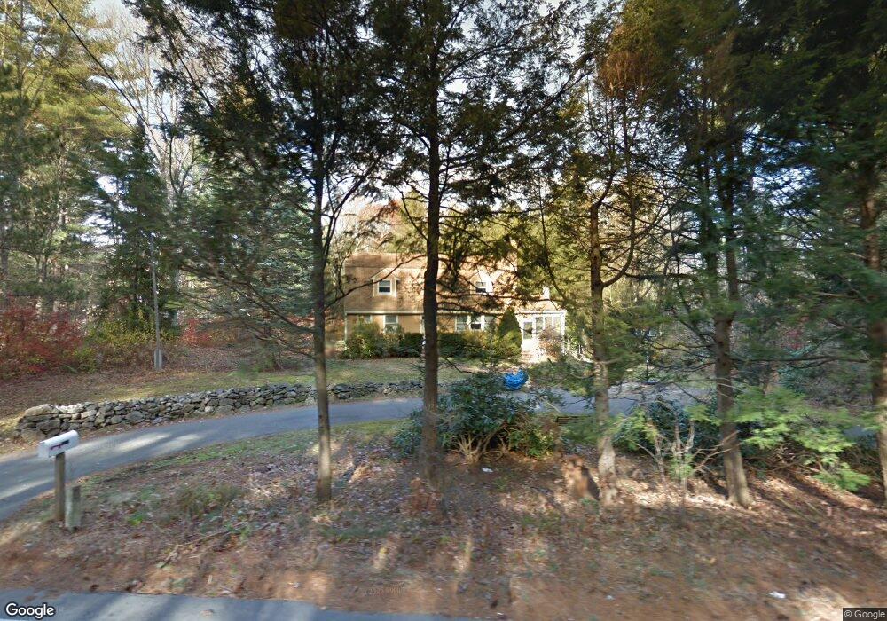
2000 West St Wrentham, MA 02093
West Wrentham NeighborhoodEstimated Value: $607,000 - $729,000
3
Beds
2
Baths
1,988
Sq Ft
$341/Sq Ft
Est. Value
About This Home
This home is located at 2000 West St, Wrentham, MA 02093 and is currently estimated at $678,664, approximately $341 per square foot. 2000 West St is a home located in Norfolk County with nearby schools including Delaney Elementary School, Charles E Roderick, and Rise Prep Mayoral Academy Middle School.
Ownership History
Date
Name
Owned For
Owner Type
Purchase Details
Closed on
Jul 31, 2000
Sold by
Holster David A
Bought by
Clifford Mark F and Clifford Jennifer L
Current Estimated Value
Home Financials for this Owner
Home Financials are based on the most recent Mortgage that was taken out on this home.
Original Mortgage
$205,600
Outstanding Balance
$74,338
Interest Rate
8.18%
Mortgage Type
Purchase Money Mortgage
Estimated Equity
$604,326
Purchase Details
Closed on
May 25, 1995
Sold by
Holster David A and Holster Mary A
Bought by
Holster David A
Home Financials for this Owner
Home Financials are based on the most recent Mortgage that was taken out on this home.
Original Mortgage
$50,000
Interest Rate
8.33%
Mortgage Type
Purchase Money Mortgage
Create a Home Valuation Report for This Property
The Home Valuation Report is an in-depth analysis detailing your home's value as well as a comparison with similar homes in the area
Home Values in the Area
Average Home Value in this Area
Purchase History
| Date | Buyer | Sale Price | Title Company |
|---|---|---|---|
| Clifford Mark F | $257,000 | -- | |
| Holster David A | $86,400 | -- |
Source: Public Records
Mortgage History
| Date | Status | Borrower | Loan Amount |
|---|---|---|---|
| Open | Holster David A | $205,600 | |
| Previous Owner | Holster David A | $50,000 | |
| Previous Owner | Holster David A | $50,000 |
Source: Public Records
Tax History Compared to Growth
Tax History
| Year | Tax Paid | Tax Assessment Tax Assessment Total Assessment is a certain percentage of the fair market value that is determined by local assessors to be the total taxable value of land and additions on the property. | Land | Improvement |
|---|---|---|---|---|
| 2025 | $6,533 | $563,700 | $288,100 | $275,600 |
| 2024 | $6,358 | $529,800 | $288,100 | $241,700 |
| 2023 | $6,271 | $496,900 | $262,000 | $234,900 |
| 2022 | $6,224 | $455,300 | $255,200 | $200,100 |
| 2021 | $6,123 | $435,200 | $238,500 | $196,700 |
| 2020 | $5,639 | $395,700 | $182,100 | $213,600 |
| 2019 | $5,340 | $378,200 | $163,900 | $214,300 |
| 2018 | $5,040 | $353,900 | $163,700 | $190,200 |
| 2017 | $4,745 | $333,000 | $160,500 | $172,500 |
| 2016 | $4,538 | $317,800 | $155,900 | $161,900 |
| 2015 | $4,626 | $308,800 | $166,500 | $142,300 |
| 2014 | $4,576 | $298,900 | $160,100 | $138,800 |
Source: Public Records
Map
Nearby Homes
- 50 Wamsutta Way
- 2095 West St
- 236 Williams St
- 60 Grant Ave
- 50 Heather Ln
- 851 Washington St
- 17 Stanford Rd
- 25 Nature View Dr
- 10 Stanford Rd
- 20 Nature View Dr
- 39 Sumner Brown Rd
- 180 Pine Swamp Rd
- 56 Pine Swamp Rd
- 2 Duhamel Way
- 9 Pebble Cir Unit 9
- 584 Washington St
- 65 Palmetto Dr Unit 65
- 21 Palmetto Dr Unit 21
- 24 Palmetto Dr Unit 24
- 8 Bubbling Brook Rd