20006 NE 190th Ave Battle Ground, WA 98604
Estimated Value: $726,532 - $820,000
4
Beds
2
Baths
2,052
Sq Ft
$374/Sq Ft
Est. Value
About This Home
This home is located at 20006 NE 190th Ave, Battle Ground, WA 98604 and is currently estimated at $767,133, approximately $373 per square foot. 20006 NE 190th Ave is a home located in Clark County with nearby schools including Tukes Valley Primary School, Tukes Valley Middle School, and Battle Ground High School.
Ownership History
Date
Name
Owned For
Owner Type
Purchase Details
Closed on
Apr 12, 2007
Sold by
Gemind Carolyn
Bought by
Limpf Ronald K and Limpf Lorinda L
Current Estimated Value
Home Financials for this Owner
Home Financials are based on the most recent Mortgage that was taken out on this home.
Original Mortgage
$283,000
Interest Rate
6.13%
Mortgage Type
Purchase Money Mortgage
Purchase Details
Closed on
Sep 21, 2005
Sold by
Maxwell Terry K and Maxwell Nancy D
Bought by
Gemind George W and Gemind Carolyn
Create a Home Valuation Report for This Property
The Home Valuation Report is an in-depth analysis detailing your home's value as well as a comparison with similar homes in the area
Home Values in the Area
Average Home Value in this Area
Purchase History
| Date | Buyer | Sale Price | Title Company |
|---|---|---|---|
| Limpf Ronald K | $415,280 | First American Title | |
| Gemind George W | $395,000 | Stewart Title |
Source: Public Records
Mortgage History
| Date | Status | Borrower | Loan Amount |
|---|---|---|---|
| Closed | Limpf Ronald K | $283,000 |
Source: Public Records
Tax History Compared to Growth
Tax History
| Year | Tax Paid | Tax Assessment Tax Assessment Total Assessment is a certain percentage of the fair market value that is determined by local assessors to be the total taxable value of land and additions on the property. | Land | Improvement |
|---|---|---|---|---|
| 2025 | $5,307 | $665,237 | $293,291 | $371,946 |
| 2024 | $4,744 | $638,892 | $293,291 | $345,601 |
| 2023 | $4,948 | $656,161 | $303,841 | $352,320 |
| 2022 | $4,560 | $625,724 | $276,555 | $349,169 |
| 2021 | $4,641 | $502,103 | $197,244 | $304,859 |
| 2020 | $4,520 | $467,379 | $211,037 | $256,342 |
| 2019 | $3,956 | $444,079 | $198,968 | $245,111 |
| 2018 | $4,520 | $446,416 | $0 | $0 |
| 2017 | $3,753 | $388,316 | $0 | $0 |
| 2016 | $3,686 | $351,833 | $0 | $0 |
| 2015 | $3,603 | $317,173 | $0 | $0 |
| 2014 | -- | $293,198 | $0 | $0 |
| 2013 | -- | $261,829 | $0 | $0 |
Source: Public Records
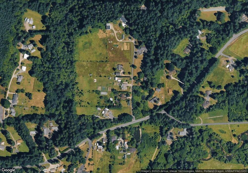
Map
Nearby Homes
- 20205 NE 190th Ave
- 19911 NE 179th Ct
- 18426 NE 191st Cir
- 19119 NE 204th Ave
- 18511 NE 181st St
- 21017 NE Risto Rd
- 21405 NE 167th Ave
- 18717 NE 208th Ct
- 17600 NE 188th Ct
- 0 NE 212th Ave
- 22814 NE 182nd Ave
- 22405 NE 167th Ave
- 2312 SE Eaton Blvd
- 20015 NE 234th St
- 2704 SE 25th Ave
- 15615 NE 182nd Ave
- 2344 SE 27th St
- 2706 SE 22nd Ave
- 2805 SE 21st Place
- 22414 NE 200th St
- 20000 NE 190th Ave
- 20020 NE 190th Ave
- 19010 NE Risto Rd
- 19918 NE 190th Ave
- 19118 NE Risto Rd
- 18813 NE Risto Rd
- 18720 NE Risto Rd
- 20216 NE 190th Ave
- 20216 NE 190th Ave
- 20216 NE 190th Ave
- 18805 NE Risto Rd
- 19220 NE Risto Rd
- 19117 NE Lehto Rd
- 20409 NE 190th Ave
- 18612 NE Risto Rd
- 19206 NE Lehto Rd
- 20234 NE 194th Ave
- 18717 NE Risto Rd
- 18516 NE Risto Rd
- 20111 NE Lakin Rd