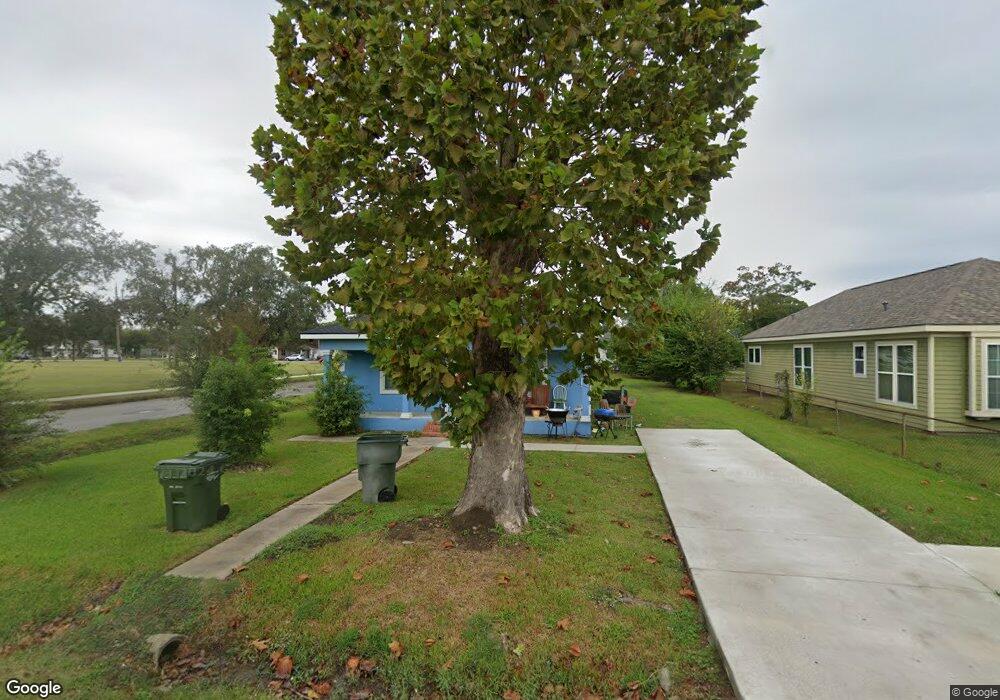
2001 15th St Port Arthur, TX 77640
Estimated Value: $70,000 - $93,000
--
Bed
--
Bath
1,072
Sq Ft
$77/Sq Ft
Est. Value
About This Home
This home is located at 2001 15th St, Port Arthur, TX 77640 and is currently estimated at $82,748, approximately $77 per square foot. 2001 15th St is a home located in Jefferson County with nearby schools including DeQueen Elementary School, Abraham Lincoln Middle School, and Memorial High School.
Ownership History
Date
Name
Owned For
Owner Type
Purchase Details
Closed on
Oct 22, 2021
Sold by
Angeles Arturo
Bought by
A & M Property Management Llc
Current Estimated Value
Home Financials for this Owner
Home Financials are based on the most recent Mortgage that was taken out on this home.
Original Mortgage
$68,000
Outstanding Balance
$62,010
Interest Rate
2.8%
Mortgage Type
Purchase Money Mortgage
Estimated Equity
$20,738
Purchase Details
Closed on
Apr 6, 2021
Sold by
Nsiah Martha and Jefferson County
Bought by
Angeles Arthuro
Purchase Details
Closed on
Sep 21, 2020
Sold by
Sheriff Of Jefferson County
Bought by
Jefferson County
Purchase Details
Closed on
Mar 24, 2005
Sold by
Ackah Isaac Bebblet and Ackah Theodora
Bought by
Nsiah Martha
Create a Home Valuation Report for This Property
The Home Valuation Report is an in-depth analysis detailing your home's value as well as a comparison with similar homes in the area
Home Values in the Area
Average Home Value in this Area
Purchase History
| Date | Buyer | Sale Price | Title Company |
|---|---|---|---|
| A & M Property Management Llc | -- | None Available | |
| Angeles Arthuro | $18,500 | None Available | |
| Jefferson County | $17,824 | None Listed On Document | |
| Nsiah Martha | -- | -- |
Source: Public Records
Mortgage History
| Date | Status | Borrower | Loan Amount |
|---|---|---|---|
| Open | A & M Property Management Llc | $68,000 |
Source: Public Records
Tax History Compared to Growth
Tax History
| Year | Tax Paid | Tax Assessment Tax Assessment Total Assessment is a certain percentage of the fair market value that is determined by local assessors to be the total taxable value of land and additions on the property. | Land | Improvement |
|---|---|---|---|---|
| 2025 | $1,447 | $82,866 | $4,550 | $78,316 |
| 2024 | $1,447 | $84,029 | $2,450 | $81,579 |
| 2023 | $1,447 | $42,084 | $980 | $41,104 |
| 2022 | $1,223 | $38,510 | $980 | $37,530 |
| 2021 | $1,365 | $41,191 | $980 | $40,211 |
| 2020 | $758 | $23,388 | $980 | $22,408 |
| 2019 | $622 | $19,190 | $980 | $18,210 |
| 2018 | $567 | $17,790 | $980 | $16,810 |
| 2017 | $551 | $17,790 | $980 | $16,810 |
| 2016 | $521 | $17,790 | $980 | $16,810 |
| 2015 | $531 | $17,790 | $980 | $16,810 |
| 2014 | $531 | $17,790 | $980 | $16,810 |
Source: Public Records
Map
Nearby Homes
- 2048 15th St
- 1948 13th St
- 2036 12th St
- 1626 14th St
- 1848 19th St
- 1900 Thomas Blvd
- 515 Lake Charles Ave
- 1849 19th St
- 1730 Thomas Blvd
- 1833 11th St
- 11351 Gulfway Dr
- 1431 13th St
- 2401 Thomas Blvd
- 2736 Thomas Blvd
- 1235 Dequeen Blvd
- 1457 Saint Augustine Ave
- 2610 15th St
- 1312 13th St
- 1348 Dequeen Blvd
- 527 Dequeen Blvd
- 2009 15th St
- 2021 15th St
- 2031 15th St
- 1636 Orange Ave
- 2004 W Gulfway Dr
- 2004 Gulfway Dr
- 2004 Gulfway Dr Unit 2
- 2004 Gulfway Dr Unit 1
- 2004 Gulfway Dr Unit 3
- 2004 Gulfway Dr Unit 4
- 2020 Gulfway Dr
- 2041 15th St
- 2000 15th St
- 2036 Gulfway Dr
- 2018 15th St
- 1948 15th St
- 2030 15th St
- 2049 15th St
- 1934 15th St
- 2038 15th St