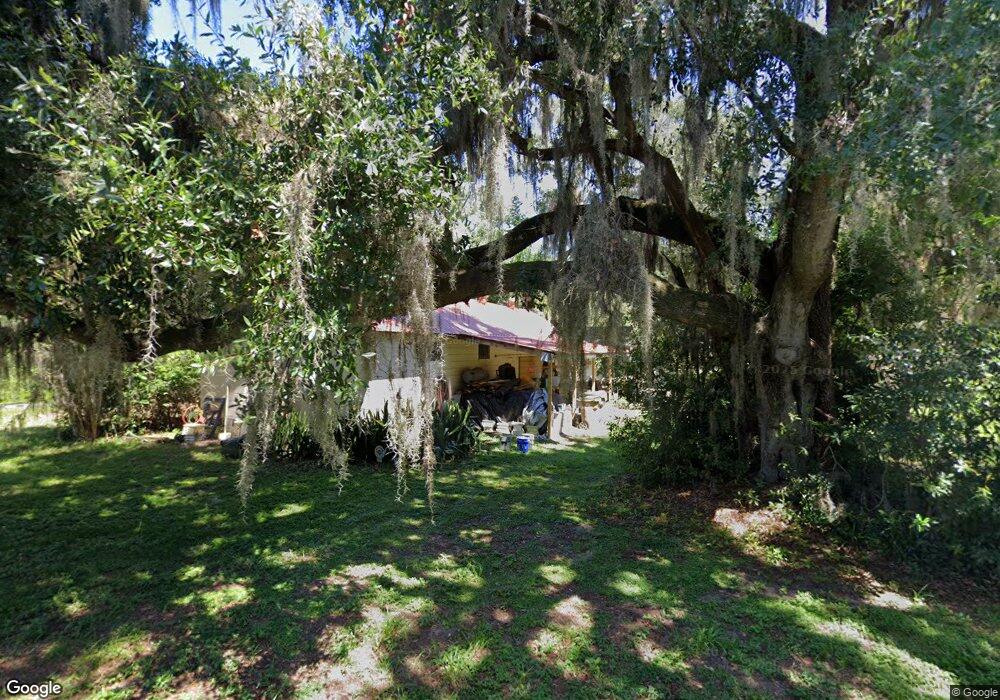
2001 Abrams Rd Eustis, FL 32726
Estimated Value: $454,000 - $698,223
4
Beds
1
Bath
2,668
Sq Ft
$227/Sq Ft
Est. Value
About This Home
This home is located at 2001 Abrams Rd, Eustis, FL 32726 and is currently estimated at $605,306, approximately $226 per square foot. 2001 Abrams Rd is a home located in Lake County with nearby schools including Triangle Elementary School, Eustis Middle School, and Eustis High School.
Ownership History
Date
Name
Owned For
Owner Type
Purchase Details
Closed on
Sep 17, 2015
Sold by
Fedorka Dorothy D and Fedorka Joseph M
Bought by
Fedorka Dorothy D and Dorothy D Fedorka Family Trust
Current Estimated Value
Purchase Details
Closed on
Feb 21, 2007
Sold by
Arost Hal David
Bought by
Doty John P and Hoff Nancy M
Home Financials for this Owner
Home Financials are based on the most recent Mortgage that was taken out on this home.
Original Mortgage
$395,500
Outstanding Balance
$234,621
Interest Rate
6.17%
Mortgage Type
Purchase Money Mortgage
Estimated Equity
$370,685
Purchase Details
Closed on
Jul 16, 1993
Sold by
Atkins Lloyd M and Atkins Brenda
Bought by
Arost Hal David
Home Financials for this Owner
Home Financials are based on the most recent Mortgage that was taken out on this home.
Original Mortgage
$126,000
Interest Rate
7.48%
Create a Home Valuation Report for This Property
The Home Valuation Report is an in-depth analysis detailing your home's value as well as a comparison with similar homes in the area
Home Values in the Area
Average Home Value in this Area
Purchase History
| Date | Buyer | Sale Price | Title Company |
|---|---|---|---|
| Fedorka Dorothy D | -- | Attorney | |
| Doty John P | $495,000 | Attorney | |
| Arost Hal David | $157,500 | -- |
Source: Public Records
Mortgage History
| Date | Status | Borrower | Loan Amount |
|---|---|---|---|
| Open | Doty John P | $395,500 | |
| Previous Owner | Arost Hal David | $126,000 |
Source: Public Records
Tax History
| Year | Tax Paid | Tax Assessment Tax Assessment Total Assessment is a certain percentage of the fair market value that is determined by local assessors to be the total taxable value of land and additions on the property. | Land | Improvement |
|---|---|---|---|---|
| 2026 | $7,014 | $528,880 | -- | -- |
| 2025 | $6,567 | $514,480 | -- | -- |
| 2024 | $6,567 | $514,480 | -- | -- |
| 2023 | $6,567 | $484,960 | $0 | $0 |
| 2022 | $6,390 | $470,840 | $0 | $0 |
| 2021 | $6,160 | $457,127 | $0 | $0 |
| 2020 | $6,481 | $450,816 | $0 | $0 |
| 2019 | $6,451 | $440,681 | $0 | $0 |
| 2018 | $6,193 | $432,465 | $0 | $0 |
| 2017 | $6,054 | $423,571 | $0 | $0 |
| 2016 | $6,119 | $420,178 | $0 | $0 |
| 2015 | $6,278 | $417,258 | $0 | $0 |
| 2014 | $6,286 | $413,947 | $0 | $0 |
Source: Public Records
Map
Nearby Homes
- 0 Gables Dr Unit MFRO6380272
- 0 Fairway Ave
- 2435 Broadvue Ave
- 3203 Victoria Ln
- 2311 Sunset Dr
- 93 Hillside Dr
- 2404 Waycross Ave
- 2422 Topping Place
- 2450 Topping Place
- 2400 Topping Place
- 0 E Crooked Lake Dr Unit MFRG5104526
- 1095 Club Hills Dr
- 112 Madrona Dr
- 104 Vista Ave
- 881 Vanderbilt Dr
- 2722 Maywood St
- 2007 Country Club Dr
- 2825 Hardenbergh Ln
- 2710 Autumn Ln
- 2000 Country Club Dr
Your Personal Tour Guide
Ask me questions while you tour the home.