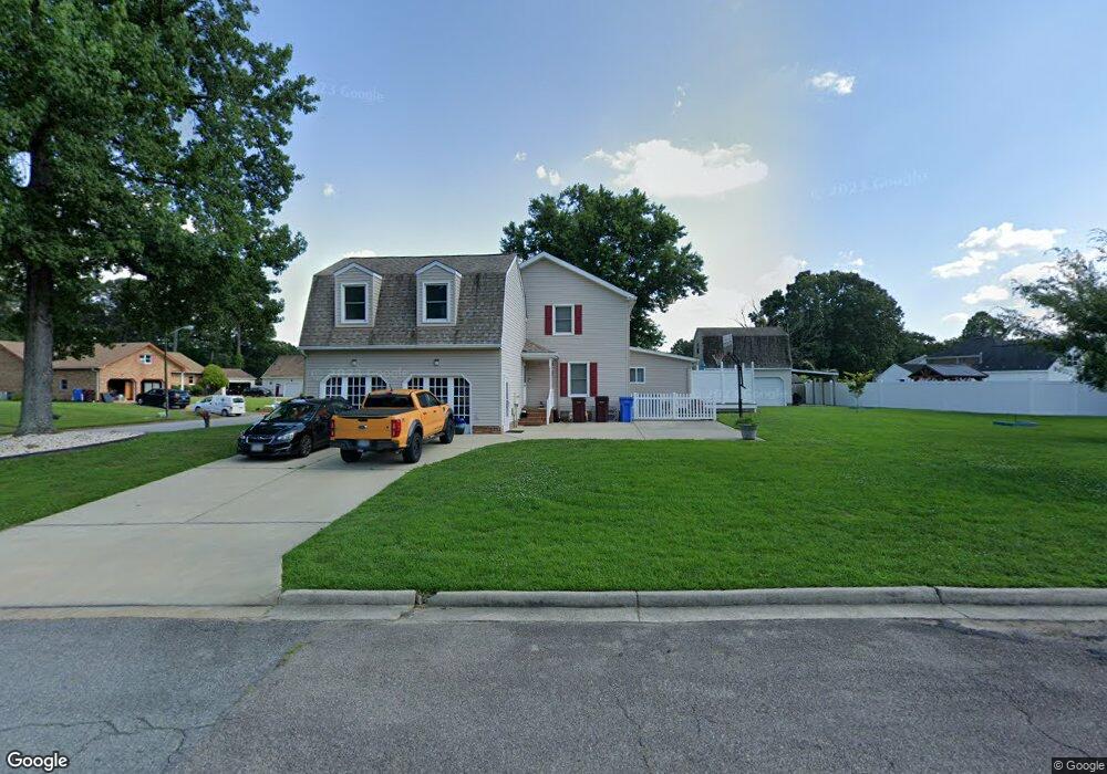
2001 Armada Dr Chesapeake, VA 23321
Western Branch NeighborhoodEstimated Value: $483,841 - $533,000
3
Beds
3
Baths
2,830
Sq Ft
$183/Sq Ft
Est. Value
About This Home
This home is located at 2001 Armada Dr, Chesapeake, VA 23321 and is currently estimated at $517,460, approximately $182 per square foot. 2001 Armada Dr is a home located in Chesapeake City with nearby schools including Edwin W. Chittum Elementary School, Jolliff Middle School, and Western Branch High School.
Ownership History
Date
Name
Owned For
Owner Type
Purchase Details
Closed on
Nov 7, 2019
Sold by
Hervey George M and Hervey Veronica A
Bought by
Bowers Lisa D and Bowers Kathleen R
Current Estimated Value
Home Financials for this Owner
Home Financials are based on the most recent Mortgage that was taken out on this home.
Original Mortgage
$162,250
Outstanding Balance
$142,738
Interest Rate
3.6%
Estimated Equity
$374,722
Create a Home Valuation Report for This Property
The Home Valuation Report is an in-depth analysis detailing your home's value as well as a comparison with similar homes in the area
Home Values in the Area
Average Home Value in this Area
Purchase History
| Date | Buyer | Sale Price | Title Company |
|---|---|---|---|
| Bowers Lisa D | $362,250 | Landmark Title Llc |
Source: Public Records
Mortgage History
| Date | Status | Borrower | Loan Amount |
|---|---|---|---|
| Open | Bowers Lisa D | $162,250 |
Source: Public Records
Tax History Compared to Growth
Tax History
| Year | Tax Paid | Tax Assessment Tax Assessment Total Assessment is a certain percentage of the fair market value that is determined by local assessors to be the total taxable value of land and additions on the property. | Land | Improvement |
|---|---|---|---|---|
| 2025 | $4,765 | $466,100 | $165,000 | $301,100 |
| 2024 | $4,765 | $471,800 | $160,000 | $311,800 |
| 2023 | $4,061 | $452,700 | $140,000 | $312,700 |
| 2022 | $4,017 | $397,700 | $120,000 | $277,700 |
| 2021 | $3,637 | $346,400 | $90,000 | $256,400 |
| 2020 | $3,599 | $342,800 | $90,000 | $252,800 |
| 2019 | $3,459 | $329,400 | $90,000 | $239,400 |
| 2018 | $3,381 | $264,600 | $80,000 | $184,600 |
| 2017 | $2,946 | $280,600 | $95,000 | $185,600 |
| 2016 | $2,749 | $261,800 | $85,000 | $176,800 |
| 2015 | $2,022 | $256,800 | $80,000 | $176,800 |
| 2014 | $2,696 | $256,800 | $80,000 | $176,800 |
Source: Public Records
Map
Nearby Homes
- 2200 Christopher Dr
- 2021 Christopher Dr
- 4232 Valencia Rd
- 2133 Portsmouth Blvd
- 2071 River Pearl Way
- 4309 Hillingdon Bend Unit 303
- 2019 River Pearl Way
- 4316 Hillingdon Bend Unit 302
- 4316 Hillingdon Bend Unit 303
- 4601 Peek Trail
- 2017 Lisbon Rd
- 4332 Hillingdon Bend Unit 306
- 4200 Sorrento Dr
- 2024 Finchley Dr Unit 385
- 4316 Colindale Rd Unit 301
- 2119 Seastone Trace
- 2421 Leytonstone Dr
- 2613 Leytonstone Dr Unit 377
- 4308 Colindale Rd Unit 206
- 4125 Nina Dr
- 2001 Armada Dr S
- 2005 Armada Dr
- 4621 Leeward Dr
- 2000 Armada Dr
- 2000 Armada Dr S
- 4616 Leeward Dr
- 2004 Armada Dr S
- 2004 Armada Dr
- 2008 Armada Dr
- 2009 Armada Dr
- 4620 Leeward Dr
- 4608 Leeward Dr
- 4629 Leeward Dr
- 4605 Leeward Dr
- 4704 Leeward Ct
- 4624 Leeward Dr
- 2012 Armada Dr
- 4604 Leeward Dr
- 4633 Leeward Dr
- 4700 Leeward Ct