2001 Baker Rd SW New Philadelphia, OH 44663
Estimated Value: $224,000 - $274,000
3
Beds
2
Baths
1,200
Sq Ft
$211/Sq Ft
Est. Value
About This Home
This home is located at 2001 Baker Rd SW, New Philadelphia, OH 44663 and is currently estimated at $253,695, approximately $211 per square foot. 2001 Baker Rd SW is a home located in Tuscarawas County with nearby schools including New Philadelphia High School, Indian Hills Christian School, and Tuscarawas Central Catholic Elementary School.
Ownership History
Date
Name
Owned For
Owner Type
Purchase Details
Closed on
Oct 7, 2008
Sold by
Sulzener James R and Sulzener Marlene
Bought by
Edwards Douglas G and Holcomb Bonnie L
Current Estimated Value
Home Financials for this Owner
Home Financials are based on the most recent Mortgage that was taken out on this home.
Original Mortgage
$85,000
Interest Rate
6.43%
Mortgage Type
Purchase Money Mortgage
Create a Home Valuation Report for This Property
The Home Valuation Report is an in-depth analysis detailing your home's value as well as a comparison with similar homes in the area
Home Values in the Area
Average Home Value in this Area
Purchase History
| Date | Buyer | Sale Price | Title Company |
|---|---|---|---|
| Edwards Douglas G | $156,900 | Tusc Title |
Source: Public Records
Mortgage History
| Date | Status | Borrower | Loan Amount |
|---|---|---|---|
| Closed | Edwards Douglas G | $85,000 |
Source: Public Records
Tax History Compared to Growth
Tax History
| Year | Tax Paid | Tax Assessment Tax Assessment Total Assessment is a certain percentage of the fair market value that is determined by local assessors to be the total taxable value of land and additions on the property. | Land | Improvement |
|---|---|---|---|---|
| 2024 | $2,132 | $50,768 | $11,375 | $39,393 |
| 2023 | $2,132 | $145,050 | $32,500 | $112,550 |
| 2022 | $2,146 | $50,768 | $11,375 | $39,393 |
| 2021 | $1,972 | $44,776 | $10,973 | $33,803 |
| 2020 | $1,957 | $44,776 | $10,973 | $33,803 |
| 2019 | $1,956 | $44,776 | $10,973 | $33,803 |
| 2018 | $1,967 | $42,810 | $10,490 | $32,320 |
| 2017 | $1,952 | $42,810 | $10,490 | $32,320 |
| 2016 | $2,002 | $42,810 | $10,490 | $32,320 |
| 2014 | $1,791 | $36,620 | $7,820 | $28,800 |
| 2013 | $1,501 | $36,620 | $7,820 | $28,800 |
Source: Public Records
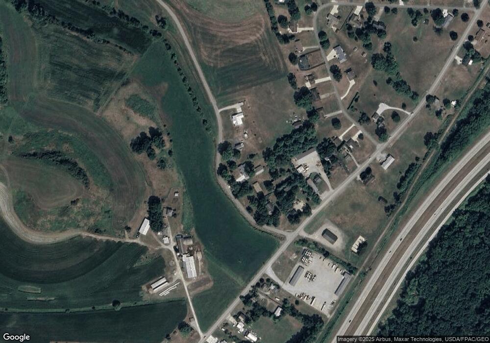
Map
Nearby Homes
- 3265 Yorkview Rd SW
- 1024 Thomas Dr SW
- 475 Lockport Ave SW
- 161 York Dr SE
- 231 York Dr SE
- 902 W High Ave
- 1075 Grant Ave NW
- 1063 Grant Ave NW
- 1592 Pleasant View Dr NW
- 651 Front Ave SW
- 944 Grant Ave NW
- 1166 S Broadway St
- 514 Front Ave SW
- 614 10th Dr NW
- 635 Jordan Dr NW
- 1149 Jefferson St SE
- 1824 Oldtown Valley Rd SE
- 1354 Independence Cir SE
- 405 Front Ave SW
- 836 Miller Ave NW
- 2017 Baker Rd SW
- 1981 Baker Rd SW
- 1961 Baker Rd SW
- 2053 Baker Rd SW
- 764 Stonecreek Rd SW Unit A
- 740 Stonecreek Rd SW
- 892 Stonecreek Rd SW
- 1849 Circle Dr SW
- 716 Stonecreek Rd SW
- 799 Stonecreek Rd SW
- 799 Stonecreek Rd SW
- 1839 Circle Dr SW
- 704 Stonecreek Rd SW
- 757 Stonecreek Rd SW
- 809 Stonecreek Rd SW
- 1833 Circle Dr SW
- 825 Stonecreek Rd SW
- 1865 Circle Dr SW
- 1823 Circle Dr SW
- 701 Stonecreek Rd SW