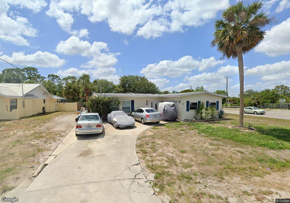
2001 Cannolot Blvd Port Charlotte, FL 33948
Estimated Value: $176,000 - $303,000
3
Beds
2
Baths
1,470
Sq Ft
$171/Sq Ft
Est. Value
About This Home
This home is located at 2001 Cannolot Blvd, Port Charlotte, FL 33948 and is currently estimated at $251,297, approximately $170 per square foot. 2001 Cannolot Blvd is a home located in Charlotte County with nearby schools including Liberty Elementary School, Murdock Middle School, and Port Charlotte High School.
Ownership History
Date
Name
Owned For
Owner Type
Purchase Details
Closed on
Nov 9, 2015
Sold by
Hall David Scott and Hall Scott
Bought by
Miller Robert E and Miller Gabriella
Current Estimated Value
Purchase Details
Closed on
Aug 9, 2004
Sold by
Hall David Scott and Hall Alix Rachelle
Bought by
Hall David Scott
Purchase Details
Closed on
Jun 26, 1996
Sold by
Myers Delbert W and Myers Roberta F
Bought by
Hall David Scott and Hall Alix Rachelle
Home Financials for this Owner
Home Financials are based on the most recent Mortgage that was taken out on this home.
Original Mortgage
$57,000
Interest Rate
8.05%
Create a Home Valuation Report for This Property
The Home Valuation Report is an in-depth analysis detailing your home's value as well as a comparison with similar homes in the area
Home Values in the Area
Average Home Value in this Area
Purchase History
| Date | Buyer | Sale Price | Title Company |
|---|---|---|---|
| Miller Robert E | $60,100 | Siesta Title & Escrow Llc | |
| Hall David Scott | -- | -- | |
| Hall David Scott | $60,000 | -- |
Source: Public Records
Mortgage History
| Date | Status | Borrower | Loan Amount |
|---|---|---|---|
| Previous Owner | Hall David Scott | $57,000 |
Source: Public Records
Tax History Compared to Growth
Tax History
| Year | Tax Paid | Tax Assessment Tax Assessment Total Assessment is a certain percentage of the fair market value that is determined by local assessors to be the total taxable value of land and additions on the property. | Land | Improvement |
|---|---|---|---|---|
| 2023 | $3,379 | $139,513 | $0 | $0 |
| 2022 | $3,153 | $195,898 | $42,500 | $153,398 |
| 2021 | $2,856 | $155,420 | $25,500 | $129,920 |
| 2020 | $2,692 | $148,402 | $25,500 | $122,902 |
| 2019 | $2,582 | $150,689 | $25,500 | $125,189 |
| 2018 | $1,046 | $32,211 | $23,800 | $8,411 |
| 2017 | $960 | $26,820 | $20,740 | $6,080 |
| 2016 | $864 | $20,851 | $0 | $0 |
| 2015 | $1,942 | $114,169 | $0 | $0 |
| 2014 | $680 | $79,017 | $0 | $0 |
Source: Public Records
Map
Nearby Homes
- 2027 Cannolot Blvd
- 2051 Midnight St
- 2067 Midnight St
- 2072 Barksdale St
- 2113 Wonderwin St
- 2083 Leisure St
- 2123 Cannolot Blvd
- 2113 Barksdale St
- 2082 Winningway St
- 2145 Winningway St
- 18275 Troon Ave
- 18323 Troon Ave
- 18161 Windswept Ave
- 18057 Garvin Ave
- 18323 Yale Ave
- 18071 Windswept Ave
- 2051 Cannolot Blvd
- 2059 Cannolot Blvd
- 18316 Monmouth Ave
- 18503 Barbara Ave
- 2011 Cannolot Blvd
- 2000 Cannolot Blvd
- 2010 Cannolot Blvd
- 2000 Barksdale St
- 2018 Cannolot Blvd
- 2016 Barksdale St
- 2001 Midnight St
- 2026 Cannolot Blvd
- 2011 Midnight St
- 2035 Cannolot Blvd
- 2032 Barksdale St
- 2027 Midnight St
- 2001 Barksdale St
- 2083 Midnight St
- 2091 & 2083 $ 2075 Midnight St
- 2018 Midnight St
- 2009 Barksdale St
- 2017 Barksdale St
- 2042 Cannolot Blvd
- 2040 Barksdale St