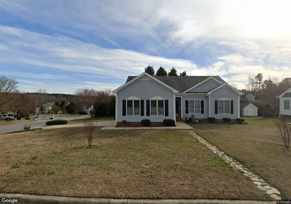
2001 Catskill Ct Apex, NC 27523
West Cary NeighborhoodEstimated Value: $484,000 - $529,000
3
Beds
2
Baths
1,454
Sq Ft
$348/Sq Ft
Est. Value
About This Home
This home is located at 2001 Catskill Ct, Apex, NC 27523 and is currently estimated at $505,284, approximately $347 per square foot. 2001 Catskill Ct is a home located in Wake County with nearby schools including Salem Elementary, Salem Middle, and Green Hope High.
Ownership History
Date
Name
Owned For
Owner Type
Purchase Details
Closed on
Jul 11, 2013
Sold by
Lewis Inez Edwards and Lewis Christopher Alan
Bought by
Sevio Robert A and Sevio Robin L
Current Estimated Value
Purchase Details
Closed on
Oct 25, 2012
Sold by
Lewis Inez E
Bought by
Lewis Inez Edward and Lewis Christopher Alan
Purchase Details
Closed on
Jul 7, 1998
Sold by
The Drees Company
Bought by
Lewis Berry Kenneth and Lewis Inez E
Home Financials for this Owner
Home Financials are based on the most recent Mortgage that was taken out on this home.
Original Mortgage
$100,000
Interest Rate
7.02%
Create a Home Valuation Report for This Property
The Home Valuation Report is an in-depth analysis detailing your home's value as well as a comparison with similar homes in the area
Home Values in the Area
Average Home Value in this Area
Purchase History
| Date | Buyer | Sale Price | Title Company |
|---|---|---|---|
| Sevio Robert A | $235,000 | None Available | |
| Lewis Inez Edward | -- | None Available | |
| Lewis Berry Kenneth | $158,000 | -- |
Source: Public Records
Mortgage History
| Date | Status | Borrower | Loan Amount |
|---|---|---|---|
| Previous Owner | Lewis Berry Kenneth | $100,000 |
Source: Public Records
Tax History
| Year | Tax Paid | Tax Assessment Tax Assessment Total Assessment is a certain percentage of the fair market value that is determined by local assessors to be the total taxable value of land and additions on the property. | Land | Improvement |
|---|---|---|---|---|
| 2025 | $4,101 | $467,390 | $200,000 | $267,390 |
| 2024 | $4,009 | $467,390 | $200,000 | $267,390 |
Source: Public Records
Map
Nearby Homes
- 2013 Keokuk Ct
- 700 Oak Ridge Dr
- 1808 Beaudet Ln
- 112 Del Rio Dr
- 105 Holmhurst Ct
- 2300 Walden Creek Dr
- 6716 Valley Woods Ln
- 105 Catchpenny Ct
- 479 Clark Creek Ln
- 416 Hopwood Way
- 610 Wakehurst Dr
- 100 Wentbridge Rd
- 1624 Shepherds Glade Dr
- 552 Rowanwood Way
- 538 Rowanwood Way
- 103 Jordan Creek Dr
- 309 Amiable Loop
- 316 Rapport Dr
- 424 Euphoria Cir
- 411 Amiable Loop
- 2003 Catskill Ct
- 2002 Keokuk Ct
- 1908 Keokuk Ct
- 1914 Battlewood Rd
- 1915 Battlewood Rd
- 2005 Catskill Ct
- 2008 Keokuk Ct
- 2008 Catskill Ct
- 1916 Battlewood Rd
- 1916 Battleford
- 2010 Keokuk Ct
- 2007 Catskill Ct
- 1917 Battlewood Rd
- 1906 Keokuk Ct
- 2001 Keokuk Ct
- 1909 Keokuk Ct
- 2014 Catskill Ct
- 1918 Battlewood Rd
- 2003 Keokuk Ct
- 2005 Keokuk Ct
Your Personal Tour Guide
Ask me questions while you tour the home.