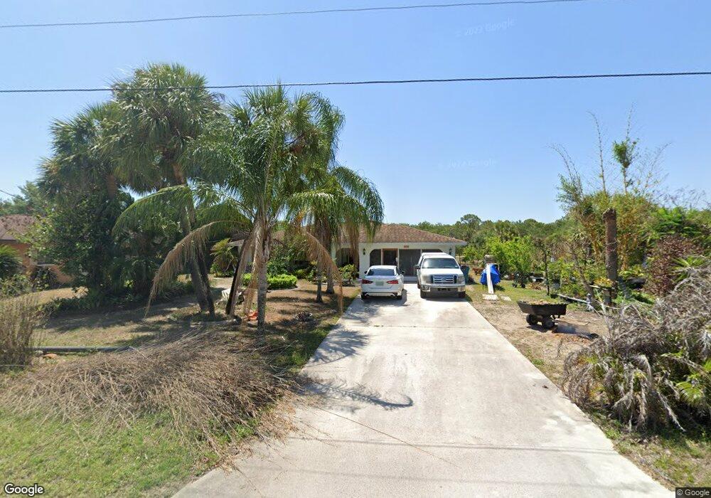
2001 Cedarwood St Port Charlotte, FL 33948
Estimated Value: $241,000 - $419,000
3
Beds
2
Baths
1,350
Sq Ft
$231/Sq Ft
Est. Value
About This Home
This home is located at 2001 Cedarwood St, Port Charlotte, FL 33948 and is currently estimated at $311,599, approximately $230 per square foot. 2001 Cedarwood St is a home located in Charlotte County with nearby schools including Liberty Elementary School, Murdock Middle School, and Port Charlotte High School.
Ownership History
Date
Name
Owned For
Owner Type
Purchase Details
Closed on
Mar 31, 2005
Sold by
Levey W David
Bought by
Hanson Richard and Hanson Virginia
Current Estimated Value
Purchase Details
Closed on
Aug 5, 2004
Sold by
Taha Hussein and Taha Angela
Bought by
Levey W David
Home Financials for this Owner
Home Financials are based on the most recent Mortgage that was taken out on this home.
Original Mortgage
$148,000
Interest Rate
5.62%
Mortgage Type
Purchase Money Mortgage
Purchase Details
Closed on
Apr 20, 2004
Sold by
Overton Beatryce M
Bought by
Taha Hussein and Taha Angela
Create a Home Valuation Report for This Property
The Home Valuation Report is an in-depth analysis detailing your home's value as well as a comparison with similar homes in the area
Home Values in the Area
Average Home Value in this Area
Purchase History
| Date | Buyer | Sale Price | Title Company |
|---|---|---|---|
| Hanson Richard | $269,000 | Csb Title Services | |
| Levey W David | $185,000 | -- | |
| Taha Hussein | $139,800 | -- |
Source: Public Records
Mortgage History
| Date | Status | Borrower | Loan Amount |
|---|---|---|---|
| Previous Owner | Levey W David | $148,000 |
Source: Public Records
Tax History Compared to Growth
Tax History
| Year | Tax Paid | Tax Assessment Tax Assessment Total Assessment is a certain percentage of the fair market value that is determined by local assessors to be the total taxable value of land and additions on the property. | Land | Improvement |
|---|---|---|---|---|
| 2023 | $2,258 | $135,063 | $0 | $0 |
| 2022 | $2,186 | $131,129 | $0 | $0 |
| 2021 | $2,172 | $127,310 | $0 | $0 |
| 2020 | $2,123 | $125,552 | $0 | $0 |
| 2019 | $2,032 | $122,729 | $0 | $0 |
| 2018 | $1,869 | $120,441 | $0 | $0 |
| 2017 | $1,847 | $117,964 | $0 | $0 |
| 2016 | $1,882 | $115,538 | $0 | $0 |
| 2015 | $1,871 | $114,735 | $0 | $0 |
| 2014 | $1,844 | $113,824 | $0 | $0 |
Source: Public Records
Map
Nearby Homes
- 1993 Cedarwood St
- 1985 Cedarwood St
- 2034 Como St
- 2065 Cedarwood St
- 1997 Redmond St
- 2021 Redmond St
- 2055 Redmond St
- 17864 Toledo Blade Blvd
- 2080 Redmond St
- 2106 Como St
- 1664 El Jobean Rd
- 17115 Hemlock Ave
- 17123 Hemlock Ave
- 17126 Hemlock Ave
- 2152 Dorion St
- 2184 Dorion St
- 2078 Dorion St
- 17147 Belmont Ave
- 17388 Tyler Ave
- 2110 Dorion St
- 2009 Cedarwood St
- 2017 Cedarwood St
- 1977 Cedarwood St
- 2025 Cedarwood St
- 2002 Como St
- 2010 Como St
- 1994 Como St
- 2018 Como St
- 17297 Mercury Ave
- 17321 Mercury Ave
- 17305 Mercury Ave
- 1961 Cedarwood St
- 2041 Cedarwood St
- 2003 Como St
- 2011 Como St
- 1995 Como St
- 2042 Como St
- 2017 Como St
- 2019 Como St
- 1987 1995 Como St