2001 E Highway 380 Decatur, TX 76234
Estimated Value: $571,776 - $600,000
--
Bed
--
Bath
2,221
Sq Ft
$264/Sq Ft
Est. Value
About This Home
This home is located at 2001 E Highway 380, Decatur, TX 76234 and is currently estimated at $585,888, approximately $263 per square foot. 2001 E Highway 380 is a home located in Wise County with nearby schools including Decatur High School and Victory Christian Academy.
Ownership History
Date
Name
Owned For
Owner Type
Purchase Details
Closed on
Sep 20, 2012
Sold by
Davis Harold R
Bought by
Stephens Beverly and Stephens Family Trust
Current Estimated Value
Purchase Details
Closed on
May 10, 2005
Sold by
Wells Cherry Elaine Markum
Bought by
Davis Harold R and Davis Jackie L
Purchase Details
Closed on
Nov 8, 2002
Sold by
Wells J M
Bought by
Stephens Family Trust B
Purchase Details
Closed on
Apr 21, 2000
Sold by
Howell Willard E
Bought by
Stephens Family Trust B
Create a Home Valuation Report for This Property
The Home Valuation Report is an in-depth analysis detailing your home's value as well as a comparison with similar homes in the area
Home Values in the Area
Average Home Value in this Area
Purchase History
| Date | Buyer | Sale Price | Title Company |
|---|---|---|---|
| Stephens Beverly | -- | None Available | |
| Davis Harold R | -- | None Available | |
| Stephens Family Trust B | -- | -- | |
| Stephens Family Trust B | -- | -- |
Source: Public Records
Tax History Compared to Growth
Tax History
| Year | Tax Paid | Tax Assessment Tax Assessment Total Assessment is a certain percentage of the fair market value that is determined by local assessors to be the total taxable value of land and additions on the property. | Land | Improvement |
|---|---|---|---|---|
| 2025 | $7,346 | $423,506 | $43,195 | $380,311 |
| 2024 | $7,346 | $403,563 | $19,805 | $383,758 |
| 2023 | $7,099 | $391,372 | $0 | $0 |
| 2022 | $8,095 | $369,666 | $0 | $0 |
| 2021 | $7,201 | $823,630 | $569,430 | $254,200 |
| 2020 | $6,614 | $572,200 | $325,400 | $246,800 |
| 2019 | $6,268 | $417,060 | $184,210 | $232,850 |
| 2018 | $6,193 | $386,790 | $165,530 | $221,260 |
| 2017 | $5,717 | $353,120 | $149,400 | $203,720 |
| 2016 | $5,090 | $328,940 | $149,400 | $179,540 |
| 2015 | -- | $321,270 | $149,400 | $171,870 |
| 2014 | -- | $188,520 | $16,200 | $172,320 |
Source: Public Records
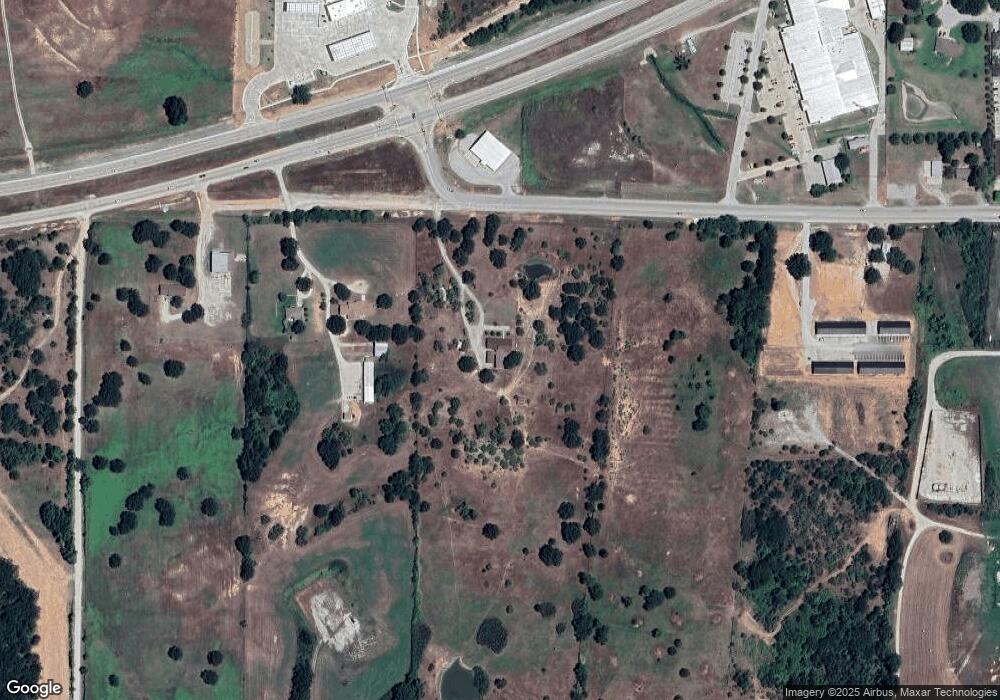
Map
Nearby Homes
- 1405 Rodden Dr
- 400 S Vick St
- 808 Sage Dr
- 1234 Rockwater Dr
- 1216 Marsha Ln
- 1232 Marsha Ln
- 1215 Rockwater Dr
- 1 Vista Dr
- LEXINGTON Plan at Vista Park
- OXFORD Plan at Vista Park
- NATCHEZ Plan at Vista Park
- KENNEDY Plan at Vista Park
- MACON Plan at Vista Park
- STARKVILLE Plan at Vista Park
- SOUTHHAVEN Plan at Vista Park
- 1202 W Thompson St Unit Land
- 1224 Patti Ln
- 1240 Marsha Ln
- W W Rose Ave
- 1172 E Old Chico Rd
- 2101 W Business 380
- 2103 W Business 380
- 200 W Side Dr
- 1907 W Business 380
- 2211 W Business 380
- 2211 W Us 380
- 225 Westside Bus 380 Unit 300
- 2000 E Highway 380
- 2211 Us Highway 380 W
- 220 W Side Dr
- 225 W Side Dr Unit 200
- 1903 W Business 380
- 6.7 Acres Hwy 380
- 6.7Acres Highway 380
- 6.7 Acres Highway 380
- Lot 4 U S 380
- 00 U S 380
- 1904 W Bus 380
- 1900 W Business 380
- 1803 Oakmeadow Dr