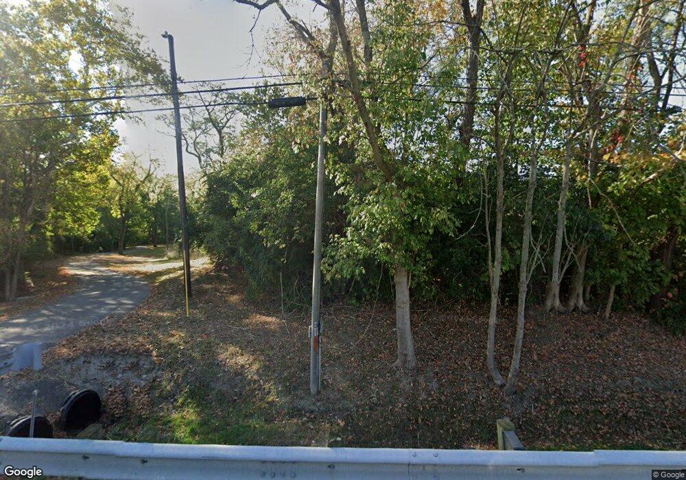
2001 E Us Highway 22 and 3 Morrow, OH 45152
Hamilton Township NeighborhoodEstimated Value: $324,000 - $581,474
5
Beds
3
Baths
2,583
Sq Ft
$179/Sq Ft
Est. Value
About This Home
This home is located at 2001 E Us Highway 22 and 3, Morrow, OH 45152 and is currently estimated at $461,619, approximately $178 per square foot. 2001 E Us Highway 22 and 3 is a home located in Warren County with nearby schools including Little Miami Early Childhood Center, Little Miami Intermediate Middle School, and Little Miami Middle School.
Ownership History
Date
Name
Owned For
Owner Type
Purchase Details
Closed on
Jan 14, 2005
Sold by
Mitchell Gail and Schuchter Donald
Bought by
Mitchell Gail and Schuchter Donald
Current Estimated Value
Purchase Details
Closed on
Nov 6, 2000
Sold by
Roosa Angela
Bought by
Schuchter Kenneth
Purchase Details
Closed on
Jan 29, 1987
Sold by
Schuchter Schuchter and Schuchter Kenneth
Bought by
Schuchter Schuchter and Schuchter Margaret A
Create a Home Valuation Report for This Property
The Home Valuation Report is an in-depth analysis detailing your home's value as well as a comparison with similar homes in the area
Home Values in the Area
Average Home Value in this Area
Purchase History
| Date | Buyer | Sale Price | Title Company |
|---|---|---|---|
| Mitchell Gail | -- | -- | |
| Schuchter Kenneth | $125,000 | -- | |
| Schuchter Schuchter | -- | -- |
Source: Public Records
Tax History Compared to Growth
Tax History
| Year | Tax Paid | Tax Assessment Tax Assessment Total Assessment is a certain percentage of the fair market value that is determined by local assessors to be the total taxable value of land and additions on the property. | Land | Improvement |
|---|---|---|---|---|
| 2024 | $7,422 | $166,760 | $51,320 | $115,440 |
| 2023 | $6,812 | $136,724 | $33,631 | $103,092 |
| 2022 | $6,736 | $136,724 | $33,632 | $103,093 |
| 2021 | $6,420 | $136,724 | $33,632 | $103,093 |
| 2020 | $6,113 | $111,157 | $27,342 | $83,815 |
| 2019 | $6,216 | $111,157 | $27,342 | $83,815 |
| 2018 | $6,082 | $111,157 | $27,342 | $83,815 |
| 2017 | $5,412 | $99,288 | $23,692 | $75,597 |
| 2016 | $5,543 | $99,288 | $23,692 | $75,597 |
| 2015 | $5,540 | $99,288 | $23,692 | $75,597 |
| 2014 | $5,774 | $91,540 | $22,810 | $68,720 |
| 2013 | $5,679 | $106,740 | $24,540 | $82,200 |
Source: Public Records
Map
Nearby Homes
- 5320 Man o War Dr
- 5651 Shetland Ct
- 5617 Appaloosa Cir
- 5527 Appaloosa Cir
- 5521 Appaloosa Cir
- 2661 Unbridled Way
- 2713 Aristides Ct
- 2719 Aristides Ct
- 2776 Aristides Ct
- 5801 Montrose Ct
- 1835 Chardonnay Dr
- 480 Charismatic Ct
- 6136 Old Rosebud Dr
- 1870 Ford Rd
- 3031 Yellowtail Terrace
- 5259 Crested Owl Ct
- 920 Pondside Ln
- 5004 Ross Ridge
- 5004 Ross Ridge Rd
- 5079 Ross Ridge Rd
- 2041 E Us Highway 22 and 3
- 2087 E Us Highway 22 and 3
- 2127 E Us Highway 22 and 3
- 2151 E Us Highway 22 and 3
- 1827 E Us Highway 22 and 3
- 2291 E Us 22 & 3
- 1798 E Us Highway 22 and 3
- 2291 E Us Rt 22 & 3 Unit A
- 2291 E Us Rt 22 & 3
- 5390 Chancellor Ln
- 5217 Secretariat Dr
- 5213 Secretariat Dr
- 5221 Secretariat Dr
- 5225 Secretariat Dr
- 1753 E Us Highway 22 and 3
- 5394 Chancellor Ln
- 5229 Secretariat Dr
- 5233 Secretariat Dr
- 5237 Secretariat Dr
- 5241 Secretariat Dr
