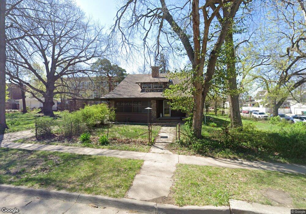
2001 Euclid Ave Lincoln, NE 68502
Near South NeighborhoodEstimated Value: $205,000 - $269,323
4
Beds
3
Baths
2,236
Sq Ft
$104/Sq Ft
Est. Value
About This Home
This home is located at 2001 Euclid Ave, Lincoln, NE 68502 and is currently estimated at $233,081, approximately $104 per square foot. 2001 Euclid Ave is a home located in Lancaster County with nearby schools including Prescott Elementary School, Irving Middle School, and Lincoln High School.
Ownership History
Date
Name
Owned For
Owner Type
Purchase Details
Closed on
Apr 28, 2025
Sold by
Terry Douglas A
Bought by
Devries Charles D and Bergt Eileen E
Current Estimated Value
Purchase Details
Closed on
May 23, 2008
Sold by
Holm Charlotte R
Bought by
Terry Douglas
Home Financials for this Owner
Home Financials are based on the most recent Mortgage that was taken out on this home.
Original Mortgage
$88,000
Interest Rate
6.07%
Mortgage Type
Unknown
Create a Home Valuation Report for This Property
The Home Valuation Report is an in-depth analysis detailing your home's value as well as a comparison with similar homes in the area
Home Values in the Area
Average Home Value in this Area
Purchase History
| Date | Buyer | Sale Price | Title Company |
|---|---|---|---|
| Devries Charles D | $200,000 | Nebraska Title | |
| Terry Douglas | $110,000 | Ntc |
Source: Public Records
Mortgage History
| Date | Status | Borrower | Loan Amount |
|---|---|---|---|
| Previous Owner | Terry Douglas | $88,000 |
Source: Public Records
Tax History Compared to Growth
Tax History
| Year | Tax Paid | Tax Assessment Tax Assessment Total Assessment is a certain percentage of the fair market value that is determined by local assessors to be the total taxable value of land and additions on the property. | Land | Improvement |
|---|---|---|---|---|
| 2025 | $2,987 | $200,000 | $86,000 | $114,000 |
| 2024 | $2,987 | $216,100 | $70,000 | $146,100 |
| 2023 | $3,622 | $216,100 | $45,500 | $170,600 |
| 2022 | $2,914 | $146,200 | $39,000 | $107,200 |
| 2021 | $2,757 | $146,200 | $39,000 | $107,200 |
| 2020 | $2,696 | $141,100 | $39,000 | $102,100 |
| 2019 | $2,696 | $141,100 | $39,000 | $102,100 |
| 2018 | $2,073 | $108,000 | $39,000 | $69,000 |
| 2017 | $2,092 | $108,000 | $39,000 | $69,000 |
| 2016 | $2,381 | $122,300 | $39,000 | $83,300 |
| 2015 | $2,365 | $122,300 | $39,000 | $83,300 |
| 2014 | $2,665 | $137,000 | $50,000 | $87,000 |
| 2013 | -- | $137,000 | $60,000 | $77,000 |
Source: Public Records
Map
Nearby Homes
- 2045 S 20th St
- 1801 Euclid Ave
- 1806 Harwood St
- 1959 South St
- 2045 South St
- 1610 S 20th St
- 1736 Euclid Ave
- 1826 Sumner St
- 1730 Prospect St
- 1560 S 19th St
- 2024 S 17th St Unit 5
- 1541 S 21st St
- 1915 S 17th St
- 1610 Euclid Ave
- 2248 Sewell St
- 1934 Park Ave
- 2144 Washington St
- 1611 Sumner St
- 1744 S 25th St
- 1811 S 16th St
- 2025 Euclid Ave
- 2035 Euclid Ave
- 1911 S 20th St
- 2045 Euclid Ave
- 2030 Euclid Ave
- 1984 Harwood St
- 1845 S 20th St
- 2059 Euclid Ave
- 1959 Euclid Ave
- 1966 Euclid Ave
- 1966 Euclid Ave
- 1980 Harwood St
- 1913 Euclid Ave
- 1951 Euclid Ave
- 2125 Euclid Ave
- 2117 Euclid Ave
- 1952 Euclid Ave
- 2100 Euclid Ave
- 1970 Harwood St
- 1943 Euclid Ave