2001 Granger Way Lummi Island, WA 98262
Estimated Value: $664,493 - $898,000
3
Beds
2
Baths
1,860
Sq Ft
$400/Sq Ft
Est. Value
About This Home
This home is located at 2001 Granger Way, Lummi Island, WA 98262 and is currently estimated at $744,373, approximately $400 per square foot. 2001 Granger Way is a home located in Whatcom County with nearby schools including Beach Elementary School, Vista Middle School, and Ferndale High School.
Ownership History
Date
Name
Owned For
Owner Type
Purchase Details
Closed on
Jan 11, 2001
Sold by
Berres Michael and Stevenson Ann
Bought by
Keller Robert A and Keller Wendy L
Current Estimated Value
Home Financials for this Owner
Home Financials are based on the most recent Mortgage that was taken out on this home.
Original Mortgage
$35,250
Interest Rate
7.41%
Create a Home Valuation Report for This Property
The Home Valuation Report is an in-depth analysis detailing your home's value as well as a comparison with similar homes in the area
Home Values in the Area
Average Home Value in this Area
Purchase History
| Date | Buyer | Sale Price | Title Company |
|---|---|---|---|
| Keller Robert A | -- | Whatcom Land Title |
Source: Public Records
Mortgage History
| Date | Status | Borrower | Loan Amount |
|---|---|---|---|
| Closed | Keller Robert A | $35,250 |
Source: Public Records
Tax History Compared to Growth
Tax History
| Year | Tax Paid | Tax Assessment Tax Assessment Total Assessment is a certain percentage of the fair market value that is determined by local assessors to be the total taxable value of land and additions on the property. | Land | Improvement |
|---|---|---|---|---|
| 2024 | $4,579 | $629,559 | $248,208 | $381,351 |
| 2023 | $4,579 | $606,640 | $239,172 | $367,468 |
| 2022 | $4,036 | $507,659 | $200,148 | $307,511 |
| 2021 | $3,470 | $409,408 | $161,412 | $247,996 |
| 2020 | $3,464 | $335,568 | $132,300 | $203,268 |
| 2019 | $3,045 | $304,370 | $120,000 | $184,370 |
| 2018 | $3,335 | $308,976 | $110,880 | $198,096 |
| 2017 | $3,122 | $259,215 | $93,040 | $166,175 |
| 2016 | $3,060 | $255,130 | $91,600 | $163,530 |
| 2015 | $2,832 | $247,064 | $89,200 | $157,864 |
| 2014 | -- | $225,961 | $81,600 | $144,361 |
| 2013 | -- | $219,210 | $80,000 | $139,210 |
Source: Public Records
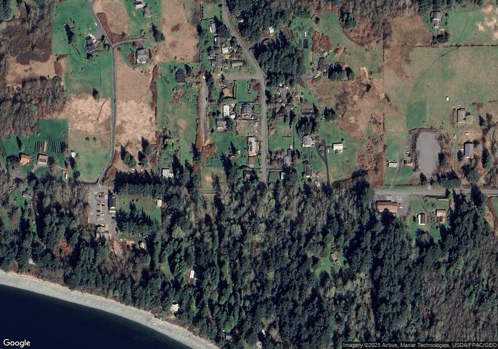
Map
Nearby Homes
- 2093 Granger Way
- 3965 Legoe Bay Rd
- 16 xx S Nugent Rd
- 4065 Sunny Hill Ln
- 2589 Lummi View Dr
- 2383 W Shore Dr
- 2395 W Shore Dr
- 2560 Lummi View Dr
- 2552 Lummi View Dr
- 2579 Finkbonner Rd
- 0 Taft Dr
- 2533 Island View Ln
- 3456 Emma Rd
- 3440 Emma Rd
- 2625 Lummi View Dr
- 2579 W Shore Dr
- 2591 Taft Dr
- 2879 N Nugent Rd Unit H8
- 2877 N Nugent Rd Unit M4
- 2519 Lummi Shore Rd
- 2007 Granger Way
- 2015 Granger Way
- 2002 Granger Way
- 2008 Granger Way
- 2016 Granger Way
- 2023 Granger Way
- 2012 Legoe Bay Place
- 3842 Legoe Bay Rd
- 2031 Granger Way
- 3840 Legoe Bay Rd
- 2032 Granger Way
- 3998 Legoe Bay Rd
- 2036 Legoe Bay Place
- 2040 Granger Way
- 2106 Hilltop Rd
- 2049 Granger Way
- 2035 Legoe Bay Place
- 2025 Legoe Bay Place
- 3837 Legoe Bay Rd
- 2055 Granger Way