Estimated Value: $264,000 - $295,000
--
Bed
3
Baths
1,208
Sq Ft
$233/Sq Ft
Est. Value
About This Home
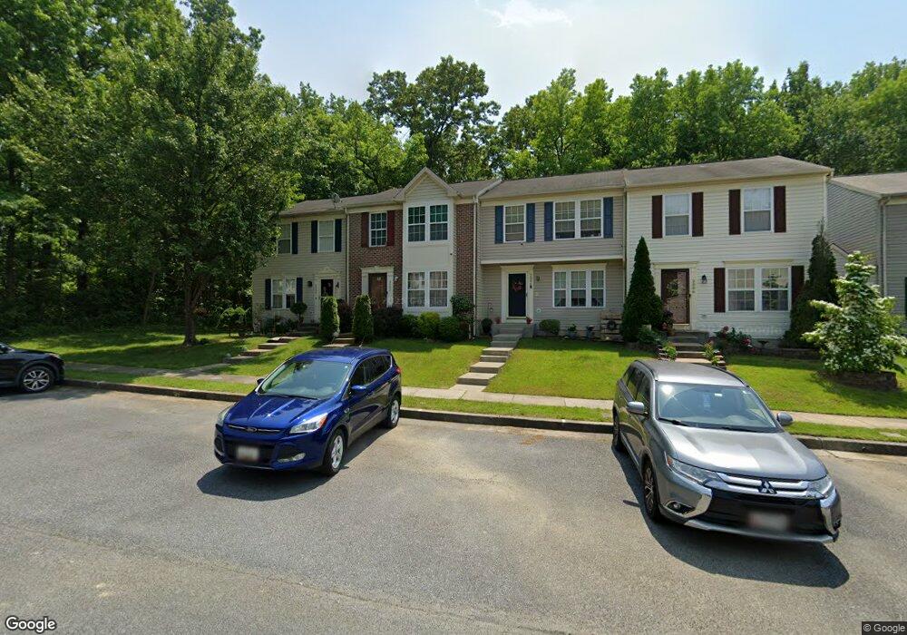
This home is located at 2001 Hackberry Rd, Essex, MD 21221 and is currently estimated at $281,028, approximately $232 per square foot. 2001 Hackberry Rd is a home located in Baltimore County with nearby schools including Middleborough Elementary School, Deep Creek Middle, and Chesapeake High School.
Ownership History
Date
Name
Owned For
Owner Type
Purchase Details
Closed on
Sep 7, 2005
Sold by
Morgan Mark A
Bought by
Esochaghi Otuoma
Current Estimated Value
Home Financials for this Owner
Home Financials are based on the most recent Mortgage that was taken out on this home.
Original Mortgage
$206,369
Outstanding Balance
$109,991
Interest Rate
5.79%
Mortgage Type
FHA
Estimated Equity
$171,037
Purchase Details
Closed on
Jan 5, 2001
Sold by
Ryland Group Inc
Bought by
Morgan Mark A and Morgan Sharon A
Purchase Details
Closed on
Aug 30, 2000
Sold by
New Haven Inc
Bought by
Ryland Group Inc
Create a Home Valuation Report for This Property
The Home Valuation Report is an in-depth analysis detailing your home's value as well as a comparison with similar homes in the area
Home Values in the Area
Average Home Value in this Area
Purchase History
| Date | Buyer | Sale Price | Title Company |
|---|---|---|---|
| Esochaghi Otuoma | $208,000 | -- | |
| Morgan Mark A | $139,892 | -- | |
| Ryland Group Inc | $182,050 | -- |
Source: Public Records
Mortgage History
| Date | Status | Borrower | Loan Amount |
|---|---|---|---|
| Open | Esochaghi Otuoma | $206,369 |
Source: Public Records
Tax History Compared to Growth
Tax History
| Year | Tax Paid | Tax Assessment Tax Assessment Total Assessment is a certain percentage of the fair market value that is determined by local assessors to be the total taxable value of land and additions on the property. | Land | Improvement |
|---|---|---|---|---|
| 2025 | $3,616 | $223,533 | -- | -- |
| 2024 | $3,616 | $208,167 | $0 | $0 |
| 2023 | $1,687 | $192,800 | $70,000 | $122,800 |
| 2022 | $3,165 | $185,833 | $0 | $0 |
| 2021 | $3,031 | $178,867 | $0 | $0 |
| 2020 | $3,031 | $171,900 | $70,000 | $101,900 |
| 2019 | $3,159 | $170,167 | $0 | $0 |
| 2018 | $2,949 | $168,433 | $0 | $0 |
| 2017 | $3,226 | $166,700 | $0 | $0 |
| 2016 | $2,822 | $166,700 | $0 | $0 |
| 2015 | $2,822 | $166,700 | $0 | $0 |
| 2014 | $2,822 | $182,400 | $0 | $0 |
Source: Public Records
Map
Nearby Homes
- 2042 Hackberry Rd
- 2036 William Ave
- 311 Greyhound Rd
- 2034 William Ave
- 2028 William Ave
- 3 Lacebark Ct
- 1920 Sue Ave
- 1936 Newhaven Dr
- Parcel on Park Dr
- 312 Long Cove Ln
- 0 Sue Grove Rd Unit MDBC2111384
- 502 Brighton Place
- 516 Brighton Place
- 2316 Bauernschmidt Dr
- 2327 Turkey Point Rd
- 863 Sue Grove Rd
- 1937 Cape May Rd
- 1634 Cape May Rd
- 2400 Holly Neck Rd
- 0 Chesapeake Ave
- 2003 Hackberry Rd
- 2005 Hackberry Rd
- 2007 Hackberry Rd
- 2009 Hackberry Rd
- 2011 Hackberry Rd
- 2013 Hackberry Rd
- 1907 Bills Creek Ct
- 1912 Bills Creek Ct
- 2000 Hackberry Rd
- 3 Whorl Ct
- 5 Whorl Ct
- 1 Whorl Ct
- 7 Whorl Ct
- 9 Whorl Ct
- 2002 Hackberry Rd
- 11 Whorl Ct
- 2004 Hackberry Rd
- 15 Whorl Ct
- 2006 Hackberry Rd
- 17 Whorl Ct