2001 Hermit Trail Newton, NC 28658
Estimated Value: $369,000 - $494,000
3
Beds
2
Baths
1,803
Sq Ft
$238/Sq Ft
Est. Value
About This Home
This home is located at 2001 Hermit Trail, Newton, NC 28658 and is currently estimated at $429,540, approximately $238 per square foot. 2001 Hermit Trail is a home located in Catawba County with nearby schools including Charles H. Tuttle Middle School, Maiden Middle School, and Maiden High School.
Ownership History
Date
Name
Owned For
Owner Type
Purchase Details
Closed on
Sep 24, 2014
Sold by
Hoke Michael Dale
Bought by
Lamb Jerry L and Lamb Lori W
Current Estimated Value
Home Financials for this Owner
Home Financials are based on the most recent Mortgage that was taken out on this home.
Original Mortgage
$147,400
Outstanding Balance
$112,602
Interest Rate
4.16%
Mortgage Type
Purchase Money Mortgage
Estimated Equity
$316,938
Purchase Details
Closed on
Aug 14, 2014
Sold by
Hoke Lorri A
Bought by
Hoke Michael Dale
Home Financials for this Owner
Home Financials are based on the most recent Mortgage that was taken out on this home.
Original Mortgage
$147,400
Outstanding Balance
$112,602
Interest Rate
4.16%
Mortgage Type
Purchase Money Mortgage
Estimated Equity
$316,938
Purchase Details
Closed on
Dec 13, 1991
Purchase Details
Closed on
Oct 5, 1990
Bought by
Hoke Michael Dale and Hoke Lorri A
Create a Home Valuation Report for This Property
The Home Valuation Report is an in-depth analysis detailing your home's value as well as a comparison with similar homes in the area
Home Values in the Area
Average Home Value in this Area
Purchase History
| Date | Buyer | Sale Price | Title Company |
|---|---|---|---|
| Lamb Jerry L | $210,000 | None Available | |
| Hoke Michael Dale | -- | None Available | |
| -- | -- | -- | |
| Hoke Michael Dale | $18,000 | -- |
Source: Public Records
Mortgage History
| Date | Status | Borrower | Loan Amount |
|---|---|---|---|
| Open | Hoke Michael Dale | $147,400 |
Source: Public Records
Tax History
| Year | Tax Paid | Tax Assessment Tax Assessment Total Assessment is a certain percentage of the fair market value that is determined by local assessors to be the total taxable value of land and additions on the property. | Land | Improvement |
|---|---|---|---|---|
| 2025 | $1,723 | $345,000 | $50,200 | $294,800 |
| 2024 | $1,723 | $345,000 | $50,200 | $294,800 |
| 2023 | $1,723 | $345,000 | $50,200 | $294,800 |
| 2022 | $1,571 | $216,700 | $49,100 | $167,600 |
| 2021 | $1,528 | $216,700 | $49,100 | $167,600 |
| 2020 | $1,528 | $216,700 | $49,100 | $167,600 |
| 2019 | $1,506 | $216,700 | $0 | $0 |
| 2018 | $1,307 | $188,100 | $49,000 | $139,100 |
| 2017 | $1,251 | $0 | $0 | $0 |
| 2016 | $1,251 | $0 | $0 | $0 |
| 2015 | $1,186 | $188,110 | $49,000 | $139,110 |
| 2014 | $1,186 | $197,600 | $51,400 | $146,200 |
Source: Public Records
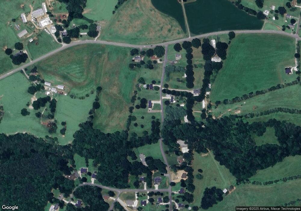
Map
Nearby Homes
- 2165 Samanthas Wells None
- 940 Leyna Ct
- 928 Leyna Ct
- 954 Leyna Ct
- 1657 Piper Creek Ave
- 1694 Piper Creek Ave
- 1668 Piper Creek Ave
- 1632 Piper Creek Ave
- 1585 Nathanial St
- 1631 Piper Creek
- 1490 Edisons Bright Way
- 1437 Wildflower St
- 1452 Edisons Bright Way
- 1429 Wildflower St
- 1436 Wildflower St
- 2320 Claremont Rd
- 1419 Blue Jay St
- 2073 Sunflower Cir
- 2159 Sunflower Cir
- 2079 Sunflower Cir
- 1973 Hermit Trail
- 2050 Hermit Trail Unit 3
- 1988 Hermit Trail
- 2117 Smyre Farm Rd
- 2101 Smyre Farm Rd
- 2025 Hermit Trail
- 1972 Hermit Trail
- 2145 Smyre Farm Rd
- 2036 Hermit Trail
- 2055 Hermit Trail
- 2114 Friendly Ln
- 2128 Friendly Ln
- 2173 Smyre Farm Rd
- 2068 Hermit Trail
- 2014 Smyre Farm Rd
- 2062 Friendly Ln
- 2062 Friendly Ln Unit 13
- 2054 Friendly Ln
- 2081 Hermit Trail
- 2115 Friendly Ln
Your Personal Tour Guide
Ask me questions while you tour the home.