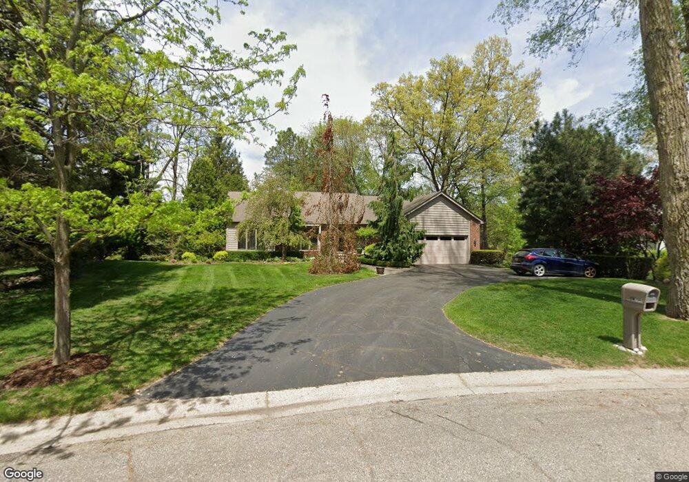
2001 Kemp Rd Bloomfield Hills, MI 48302
Estimated Value: $404,343 - $592,000
3
Beds
3
Baths
1,929
Sq Ft
$265/Sq Ft
Est. Value
About This Home
This home is located at 2001 Kemp Rd, Bloomfield Hills, MI 48302 and is currently estimated at $510,586, approximately $264 per square foot. 2001 Kemp Rd is a home located in Oakland County with nearby schools including Walt Whitman Elementary School, Pontiac Middle School, and Pontiac High School.
Ownership History
Date
Name
Owned For
Owner Type
Purchase Details
Closed on
Apr 24, 2024
Sold by
Bricio Inge M
Bought by
Bricio Salvador J and Bricio Inge M
Current Estimated Value
Purchase Details
Closed on
Feb 4, 2005
Sold by
Bricio Salvador and Bricio Inge
Bought by
Bricio Inge M and Inge M Bricio Trust
Purchase Details
Closed on
Oct 29, 1999
Sold by
Houseman Earl A
Bought by
Bricio Salvador
Create a Home Valuation Report for This Property
The Home Valuation Report is an in-depth analysis detailing your home's value as well as a comparison with similar homes in the area
Home Values in the Area
Average Home Value in this Area
Purchase History
| Date | Buyer | Sale Price | Title Company |
|---|---|---|---|
| Bricio Salvador J | -- | None Listed On Document | |
| Bricio Inge M | -- | None Listed On Document | |
| Bricio Inge M | -- | -- | |
| Bricio Salvador | -- | -- |
Source: Public Records
Tax History Compared to Growth
Tax History
| Year | Tax Paid | Tax Assessment Tax Assessment Total Assessment is a certain percentage of the fair market value that is determined by local assessors to be the total taxable value of land and additions on the property. | Land | Improvement |
|---|---|---|---|---|
| 2024 | $2,165 | $193,460 | $0 | $0 |
| 2023 | $2,066 | $179,180 | $0 | $0 |
| 2022 | $3,527 | $174,550 | $0 | $0 |
| 2021 | $3,445 | $166,700 | $0 | $0 |
| 2020 | $1,902 | $164,120 | $0 | $0 |
| 2019 | $3,377 | $150,970 | $0 | $0 |
| 2018 | $3,317 | $145,530 | $0 | $0 |
| 2017 | $3,269 | $142,900 | $0 | $0 |
| 2016 | $3,268 | $141,310 | $0 | $0 |
| 2015 | -- | $129,570 | $0 | $0 |
| 2014 | -- | $112,920 | $0 | $0 |
| 2011 | -- | $118,300 | $0 | $0 |
Source: Public Records
Map
Nearby Homes
- 1785 Ward Rd
- 1253 Atkinson Ave
- 0000 Ward Road Ward Rd
- 1160 Dorchester Ave
- 1675 Dell Rose Dr
- 1205 Leinbach Ave
- 1061 Dorchester Ave
- 1968 Maplewood Ave
- 1947 Maplewood Ave
- 1075 Canterbury Dr
- 1796 Briarcliff St
- 2216 Middlebelt Rd
- 2230 Middlebelt Rd
- 2468 Walce Dr
- 2084 Woodrow Wilson Blvd Unit A6
- 2756 Turtle Bluff Dr
- 49 Canal Dr Unit 300-049
- 1700 Hamilton Dr
- 2171 Klingensmith Rd
- 1975 Klingensmith Rd Unit 25