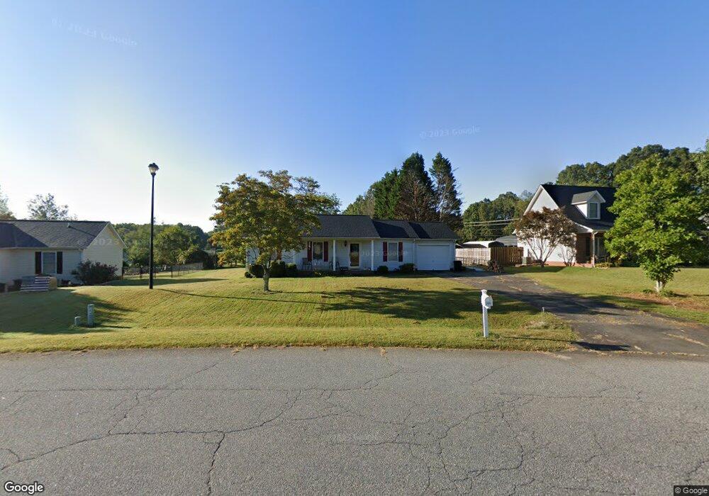
2001 Kings Grant Dr Newton, NC 28658
Estimated Value: $244,000 - $295,000
3
Beds
2
Baths
1,144
Sq Ft
$231/Sq Ft
Est. Value
About This Home
This home is located at 2001 Kings Grant Dr, Newton, NC 28658 and is currently estimated at $263,964, approximately $230 per square foot. 2001 Kings Grant Dr is a home located in Catawba County with nearby schools including Startown Elementary School, Maiden Middle School, and Maiden High School.
Ownership History
Date
Name
Owned For
Owner Type
Purchase Details
Closed on
Oct 12, 2006
Sold by
Wright Eli Properties Llc
Bought by
Jones Derryck S and Jones Lisa B
Current Estimated Value
Home Financials for this Owner
Home Financials are based on the most recent Mortgage that was taken out on this home.
Original Mortgage
$100,007
Outstanding Balance
$59,346
Interest Rate
6.36%
Mortgage Type
Purchase Money Mortgage
Estimated Equity
$204,618
Purchase Details
Closed on
Apr 1, 1997
Create a Home Valuation Report for This Property
The Home Valuation Report is an in-depth analysis detailing your home's value as well as a comparison with similar homes in the area
Home Values in the Area
Average Home Value in this Area
Purchase History
| Date | Buyer | Sale Price | Title Company |
|---|---|---|---|
| Jones Derryck S | $103,500 | None Available | |
| -- | $87,500 | -- |
Source: Public Records
Mortgage History
| Date | Status | Borrower | Loan Amount |
|---|---|---|---|
| Open | Jones Derryck S | $100,007 |
Source: Public Records
Tax History Compared to Growth
Tax History
| Year | Tax Paid | Tax Assessment Tax Assessment Total Assessment is a certain percentage of the fair market value that is determined by local assessors to be the total taxable value of land and additions on the property. | Land | Improvement |
|---|---|---|---|---|
| 2025 | $1,147 | $235,700 | $12,800 | $222,900 |
| 2024 | $1,147 | $235,700 | $12,800 | $222,900 |
| 2023 | $1,109 | $235,700 | $12,800 | $222,900 |
| 2022 | $924 | $135,800 | $12,800 | $123,000 |
| 2021 | $883 | $135,800 | $12,800 | $123,000 |
| 2020 | $883 | $135,800 | $12,800 | $123,000 |
| 2019 | $883 | $135,800 | $0 | $0 |
| 2018 | $709 | $108,200 | $12,500 | $95,700 |
| 2017 | $709 | $0 | $0 | $0 |
| 2016 | $709 | $0 | $0 | $0 |
| 2015 | $601 | $108,160 | $12,500 | $95,660 |
| 2014 | $601 | $101,800 | $13,300 | $88,500 |
Source: Public Records
Map
Nearby Homes
- 5300 Startown Rd
- 2438 Annwood Ct Unit 57
- 5624 Startown Rd
- 2182 W Maiden Rd
- 3108 Rome Jones Rd
- 2264 Picnic Dr
- 1210 Kensington Cir
- 1166 Kensington Cir
- 1127 Mckay Rd
- 1350 Kensington Cir
- 1367 Zeb Haynes Rd
- 1365 Zeb Haynes Rd
- 1408 Kensington Cir
- 1633 Fulbright Dr
- 3430 Maiden Springs Dr Unit 1
- 2589 Polo Ln
- 2618 Polo Ln
- 2596 Polo Ln
- 2635 Goose Fair Rd
- 2680 Goose Fair Rd
- 2009 Kings Grant Dr
- 1991 Kings Grant Dr
- 5170 Startown Rd
- 1983 Kings Grant Dr
- 2004 Kings Grant Dr
- 1988 Kings Grant Dr
- 5190 Startown Rd
- 1971 Kings Grant Dr
- 1976 Kings Grant Dr
- 2895 Crown Ct
- 2896 Crown Ct
- 5130 Startown Rd
- 2890 Crown Ct
- 1964 Kings Grant Dr
- 2907 Sir Charles Ct
- 1959 Kings Grant Dr
- 2901 Sir Charles Ct
- 1947 Kings Grant Dr
- 5114 Startown Rd
- 2898 Sir Charles Ct Unit 15/