2001 Linda St Marion, OH 43302
Estimated Value: $197,217 - $296,000
3
Beds
2
Baths
1,563
Sq Ft
$161/Sq Ft
Est. Value
About This Home
This home is located at 2001 Linda St, Marion, OH 43302 and is currently estimated at $251,554, approximately $160 per square foot. 2001 Linda St is a home located in Marion County with nearby schools including River Valley High School, Marion Preparatory Academy, and TRECA Digital Academy.
Ownership History
Date
Name
Owned For
Owner Type
Purchase Details
Closed on
Oct 27, 2008
Sold by
Mcelheny Susan K
Bought by
Marquis Dennis E
Current Estimated Value
Home Financials for this Owner
Home Financials are based on the most recent Mortgage that was taken out on this home.
Original Mortgage
$76,500
Outstanding Balance
$50,291
Interest Rate
6.11%
Mortgage Type
New Conventional
Estimated Equity
$201,263
Purchase Details
Closed on
May 8, 1995
Bought by
Marquis Dennis E
Create a Home Valuation Report for This Property
The Home Valuation Report is an in-depth analysis detailing your home's value as well as a comparison with similar homes in the area
Home Values in the Area
Average Home Value in this Area
Purchase History
| Date | Buyer | Sale Price | Title Company |
|---|---|---|---|
| Marquis Dennis E | -- | Marion Title | |
| Marquis Dennis E | $80,000 | -- |
Source: Public Records
Mortgage History
| Date | Status | Borrower | Loan Amount |
|---|---|---|---|
| Open | Marquis Dennis E | $76,500 |
Source: Public Records
Tax History Compared to Growth
Tax History
| Year | Tax Paid | Tax Assessment Tax Assessment Total Assessment is a certain percentage of the fair market value that is determined by local assessors to be the total taxable value of land and additions on the property. | Land | Improvement |
|---|---|---|---|---|
| 2024 | $1,760 | $43,160 | $9,210 | $33,950 |
| 2023 | $1,760 | $43,160 | $9,210 | $33,950 |
| 2022 | $1,801 | $43,160 | $9,210 | $33,950 |
| 2021 | $1,520 | $32,730 | $7,250 | $25,480 |
| 2020 | $1,473 | $32,730 | $7,250 | $25,480 |
| 2019 | $1,470 | $32,730 | $7,250 | $25,480 |
| 2018 | $1,190 | $29,880 | $7,620 | $22,260 |
| 2017 | $1,203 | $29,880 | $7,620 | $22,260 |
| 2016 | $1,202 | $29,880 | $7,620 | $22,260 |
| 2015 | $1,191 | $29,090 | $7,250 | $21,840 |
| 2014 | $1,191 | $29,090 | $7,250 | $21,840 |
| 2012 | $1,165 | $27,560 | $6,820 | $20,740 |
Source: Public Records
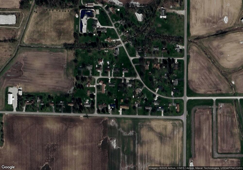
Map
Nearby Homes
- 1966 Linda St
- 2463 Capaldi Dr
- 645 Augusta Dr
- 627 Augusta Dr
- 0 Marion-Williamsport Rd E Unit 225016219
- 0 Denning Ave
- 485 New Park Dr
- 499 Carolyn Dr
- 2768 East Dr
- 386 Pole Lane Rd
- 357 Franconia Ave
- 1798 Harris Dr
- 402 Carolyn Dr
- 1225 Ackerman Ave
- 197 Franconia Ave
- 954 Bermuda Dr
- 921 Adams St
- 1115 Barbados Ave
- 1109 Barbados Ave
- 145 Sara Ave
- 1987 Linda St
- 2015 Linda St
- 2029 Chapel Heights St
- 2029 Chapel Heights Rd
- 1924 Linda St
- 1540 Taft St
- 1986 Marion-Williamsport Rd E
- 1986 Marion Williamsport Rd E
- 1980 Linda St
- 1992 Linda St
- 1974 Marion Williamsport Rd E
- 2020 Marion Williamsport Rd E
- 1980 Linda St
- 2000 Chapel Heights Rd
- 2000 Chapel Heights St
- 2040 Marion Williamsport Rd E
- 1529 Taft St
- 1961 Chapel Heights Rd
- 1950 Linda St
- 1940 Marion Williamsport Rd E