2001 Linwood Dr Stroudsburg, PA 18360
Estimated Value: $425,000 - $513,000
4
Beds
3
Baths
2,612
Sq Ft
$178/Sq Ft
Est. Value
About This Home
This home is located at 2001 Linwood Dr, Stroudsburg, PA 18360 and is currently estimated at $463,662, approximately $177 per square foot. 2001 Linwood Dr is a home located in Monroe County with nearby schools including Stroudsburg Junior High School, Stroudsburg High School, and Stroudsburg Seventh-day Adventist School.
Ownership History
Date
Name
Owned For
Owner Type
Purchase Details
Closed on
Aug 10, 2006
Sold by
Raikin Spas T and Raikin Ruby T
Bought by
Bektashev Mehmed A and Bektasheva Nermana S
Current Estimated Value
Home Financials for this Owner
Home Financials are based on the most recent Mortgage that was taken out on this home.
Original Mortgage
$20,000
Interest Rate
6.83%
Mortgage Type
New Conventional
Create a Home Valuation Report for This Property
The Home Valuation Report is an in-depth analysis detailing your home's value as well as a comparison with similar homes in the area
Home Values in the Area
Average Home Value in this Area
Purchase History
| Date | Buyer | Sale Price | Title Company |
|---|---|---|---|
| Bektashev Mehmed A | $60,000 | None Available |
Source: Public Records
Mortgage History
| Date | Status | Borrower | Loan Amount |
|---|---|---|---|
| Closed | Bektashev Mehmed A | $20,000 |
Source: Public Records
Tax History Compared to Growth
Tax History
| Year | Tax Paid | Tax Assessment Tax Assessment Total Assessment is a certain percentage of the fair market value that is determined by local assessors to be the total taxable value of land and additions on the property. | Land | Improvement |
|---|---|---|---|---|
| 2025 | $2,068 | $255,930 | $27,300 | $228,630 |
| 2024 | $1,691 | $255,930 | $27,300 | $228,630 |
| 2023 | $8,543 | $255,930 | $27,300 | $228,630 |
| 2022 | $8,723 | $255,930 | $27,300 | $228,630 |
| 2021 | $8,455 | $255,930 | $27,300 | $228,630 |
| 2020 | $7,958 | $255,930 | $27,300 | $228,630 |
| 2019 | $9,214 | $48,870 | $8,750 | $40,120 |
| 2018 | $9,830 | $48,870 | $8,750 | $40,120 |
| 2017 | $9,830 | $48,870 | $8,750 | $40,120 |
| 2016 | $1,850 | $48,870 | $8,750 | $40,120 |
| 2015 | -- | $48,870 | $8,750 | $40,120 |
| 2014 | -- | $48,870 | $8,750 | $40,120 |
Source: Public Records
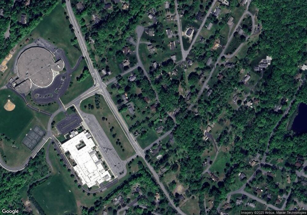
Map
Nearby Homes
- 2204 Hallmark Dr
- 108 Holmgren Dr
- 0 Marshall Dr
- 916 Mt Zion Ave
- 0 Werkheiser Ln Unit 723191
- 0 Werkheiser Ln Unit PAMR2003624
- 0 Werkheiser Ln Unit PM-121046
- 0 Eagle Drive (Bush) Ct
- 314 White Stone Corner Rd
- 259 Tanite Rd
- 6284 Cardinal Dr
- 0 Seneca Way
- 448 Bernadine Dr
- 2215 Sutton Dr
- 810 Church St
- 127 Kirkwood Rd
- LOT Edgemont Rd
- 2142 Wigwam Park Rd
- 120 Jane St
- 0 Wigwam Park Rd
- 2003 Linwood Dr
- 1105 Crestview Dr
- 12 Linwood Dr
- Lot 2 Linwood Dr
- 2004 Linwood Dr
- 3 Linwood Dr
- 1144 Crestview Dr
- 2000 Linwood Dr
- 2000 Linwood(aka Crestwood) Rd
- 1905 Chipperfield Dr
- 1138 Crestview Rd
- 2006 Linwood Dr
- 1915 Chipperfield Dr
- 503 Colvin Rd
- 1134 Crestview Dr
- 1143 Crestview Dr
- 1911 Chipperfield Dr
- 1134 Crestview Rd
- 1134 Crestview Rd
- 2008 Linwood Dr