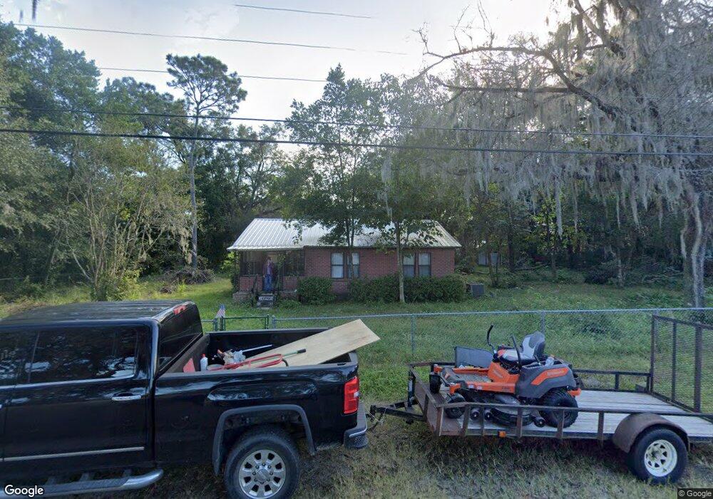
2001 Locust Ave Palatka, FL 32177
Estimated Value: $148,000 - $185,000
2
Beds
1
Bath
1,188
Sq Ft
$140/Sq Ft
Est. Value
About This Home
This home is located at 2001 Locust Ave, Palatka, FL 32177 and is currently estimated at $166,675, approximately $140 per square foot. 2001 Locust Ave is a home located in Putnam County with nearby schools including William D. Moseley Elementary School, Palatka Jr.-Sr. High School, and Putnam Academy of Arts & Sciences.
Ownership History
Date
Name
Owned For
Owner Type
Purchase Details
Closed on
Nov 9, 2013
Sold by
Oliver Michael
Bought by
Gornto Susette and Gornto Wayne
Current Estimated Value
Home Financials for this Owner
Home Financials are based on the most recent Mortgage that was taken out on this home.
Original Mortgage
$25,000
Interest Rate
4.51%
Mortgage Type
Seller Take Back
Create a Home Valuation Report for This Property
The Home Valuation Report is an in-depth analysis detailing your home's value as well as a comparison with similar homes in the area
Home Values in the Area
Average Home Value in this Area
Purchase History
| Date | Buyer | Sale Price | Title Company |
|---|---|---|---|
| Gornto Susette | $25,000 | Gullett Title Inc | |
| The Bertie Lane Oliver Trust | -- | Gullett Title | |
| The Bertie Lane Oliver Trust | -- | Gullett Title |
Source: Public Records
Mortgage History
| Date | Status | Borrower | Loan Amount |
|---|---|---|---|
| Previous Owner | Gornto Susette | $25,000 |
Source: Public Records
Tax History
| Year | Tax Paid | Tax Assessment Tax Assessment Total Assessment is a certain percentage of the fair market value that is determined by local assessors to be the total taxable value of land and additions on the property. | Land | Improvement |
|---|---|---|---|---|
| 2025 | $2,301 | $117,770 | $32,000 | $85,770 |
| 2024 | $2,159 | $125,350 | $32,000 | $93,350 |
| 2023 | $1,977 | $111,740 | $20,800 | $90,940 |
| 2022 | $1,797 | $102,560 | $24,000 | $78,560 |
| 2021 | $1,654 | $84,330 | $0 | $0 |
| 2020 | $1,580 | $79,490 | $0 | $0 |
| 2019 | $1,492 | $69,230 | $68,550 | $680 |
| 2018 | $1,491 | $67,790 | $67,110 | $680 |
| 2017 | $1,464 | $64,280 | $63,600 | $680 |
| 2016 | $1,377 | $60,850 | $0 | $0 |
| 2015 | $1,401 | $61,320 | $0 | $0 |
| 2014 | $1,463 | $62,207 | $0 | $0 |
Source: Public Records
Map
Nearby Homes
- 1904 Husson Ave
- 2325 Westover Dr
- 2407 Leigh Terrace
- 203 Citra Dr
- 200 Belmont Dr
- 2114 Westover Dr
- 3312 Silver Lake Dr
- 1508 Roselle Ave
- 3121 Bainbridge Rd Unit 1
- 210 Holly Ln
- 2400 Lundy Rd
- 116 Dellwood Ave
- 3009 Aldan St
- 133 Crestwood Ave
- 231 Holly Ln
- 000 Edgemoor Trail
- 242 Mango Dr
- 300 Westover Cir
- 1707 S Palm Ave
- 0 Lundy Rd Unit 2099901
- 2011 Locust Ave
- 2000 Roselle Ave
- 1917 Locust Ave
- 2008 Roselle Ave
- 2000 Locust Ave
- 1918 Roselle Ave
- 2004 Locust Ave
- 2010 Locust Ave
- 2014 Roselle Ave
- 1924 Locust Ave
- 1907 Locust Ave
- 2012 Locust Ave
- 1908 Roselle Ave
- 2015 Locust Ave
- 2014 Locust Ave
- 1918 Locust Ave
- 1905 Locust Ave
- 2005 Roselle Ave
- 2003 Roselle Ave
- 2016 Locust Ave
Your Personal Tour Guide
Ask me questions while you tour the home.