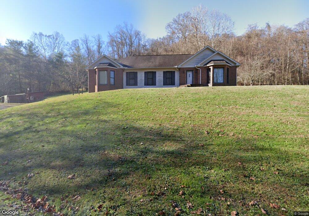
2001 Murdock Rd Ironton, OH 45638
Estimated Value: $224,000 - $309,000
3
Beds
3
Baths
1,804
Sq Ft
$153/Sq Ft
Est. Value
About This Home
This home is located at 2001 Murdock Rd, Ironton, OH 45638 and is currently estimated at $275,813, approximately $152 per square foot. 2001 Murdock Rd is a home located in Lawrence County with nearby schools including Ironton Elementary School, Ironton Middle School, and Ironton High School.
Ownership History
Date
Name
Owned For
Owner Type
Purchase Details
Closed on
Sep 11, 2019
Sold by
Henderson Thomas A
Bought by
Henderson Thomas A
Current Estimated Value
Purchase Details
Closed on
Mar 18, 2016
Sold by
Rowe Jack Edward and Underhill Janet Rowe
Bought by
Rowe Jack Edward and Underhill Janet Rowe
Purchase Details
Closed on
Jul 18, 2001
Sold by
Rowe Jack E and Rowe Clara B
Bought by
Rowe Jack E and Rowe Clara M
Create a Home Valuation Report for This Property
The Home Valuation Report is an in-depth analysis detailing your home's value as well as a comparison with similar homes in the area
Home Values in the Area
Average Home Value in this Area
Purchase History
| Date | Buyer | Sale Price | Title Company |
|---|---|---|---|
| Henderson Thomas A | -- | -- | |
| Rowe Jack Edward | -- | None Available | |
| Rowe Jack E | -- | -- |
Source: Public Records
Tax History Compared to Growth
Tax History
| Year | Tax Paid | Tax Assessment Tax Assessment Total Assessment is a certain percentage of the fair market value that is determined by local assessors to be the total taxable value of land and additions on the property. | Land | Improvement |
|---|---|---|---|---|
| 2024 | -- | $76,620 | $12,270 | $64,350 |
| 2023 | $2,742 | $76,620 | $12,270 | $64,350 |
| 2022 | $2,740 | $76,620 | $12,270 | $64,350 |
| 2021 | $2,356 | $62,680 | $10,210 | $52,470 |
| 2020 | $2,372 | $62,680 | $10,210 | $52,470 |
| 2019 | $2,362 | $62,680 | $10,210 | $52,470 |
| 2018 | $2,389 | $62,680 | $10,210 | $52,470 |
| 2017 | $2,384 | $62,680 | $10,210 | $52,470 |
| 2016 | $2,240 | $62,680 | $10,210 | $52,470 |
| 2015 | $2,138 | $57,750 | $2,780 | $54,970 |
| 2014 | $2,063 | $57,750 | $2,780 | $54,970 |
| 2013 | $2,058 | $57,750 | $2,780 | $54,970 |
Source: Public Records
Map
Nearby Homes
- 1917 Woodland Dr
- 2001 Liberty Ave
- 2418 S 12th St
- 2616 S 13th St
- 2620 S 13th St
- 0 S 10th St
- 2008 S 9th St
- 2008 S 9th St Unit KO-2
- 2503 S 9th St
- 2626 S 11th St
- 1222 Osage Ct
- 707 Mastin Ave
- 1219 Penobscot Trail
- 1902 S 7th St
- 2121 S 6th St
- 914 Pine St
- 914 Pine St
- 2604 S 8th St
- 2726 S 9th St
- 1819 S 6th St
- 1926 Murdock Rd
- 2020 Ora Ritchey Rd
- 1924 Murdock Rd
- 1936 Ora Ritchey Rd
- 1918 Ora Ritchey Rd
- 1910 Ora Ritchey Rd
- 1816 Ora Ritchey Rd
- 1816 Ora Ritchey Rd Unit JO-9
- 1816 Ora Ritchey Rd Unit KO-5
- 1810 Ora Ritchey Rd
- 1901 Ora Richey Rd
- 1901 Ora Richey Rd Unit IO-3
- 1901 Ora Ritchey Rd
- 1806 Ora Ritchey Rd
- 2010 Ora Ritchey Rd
- 1919 Ora Ritchey Rd
- 1931 Ora Ritchey Rd
- 1802 Ora Ritchey Rd
- 1811 Ora Ritchey Rd
- 1803 Ora Ritchey Rd